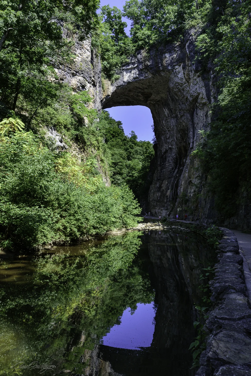
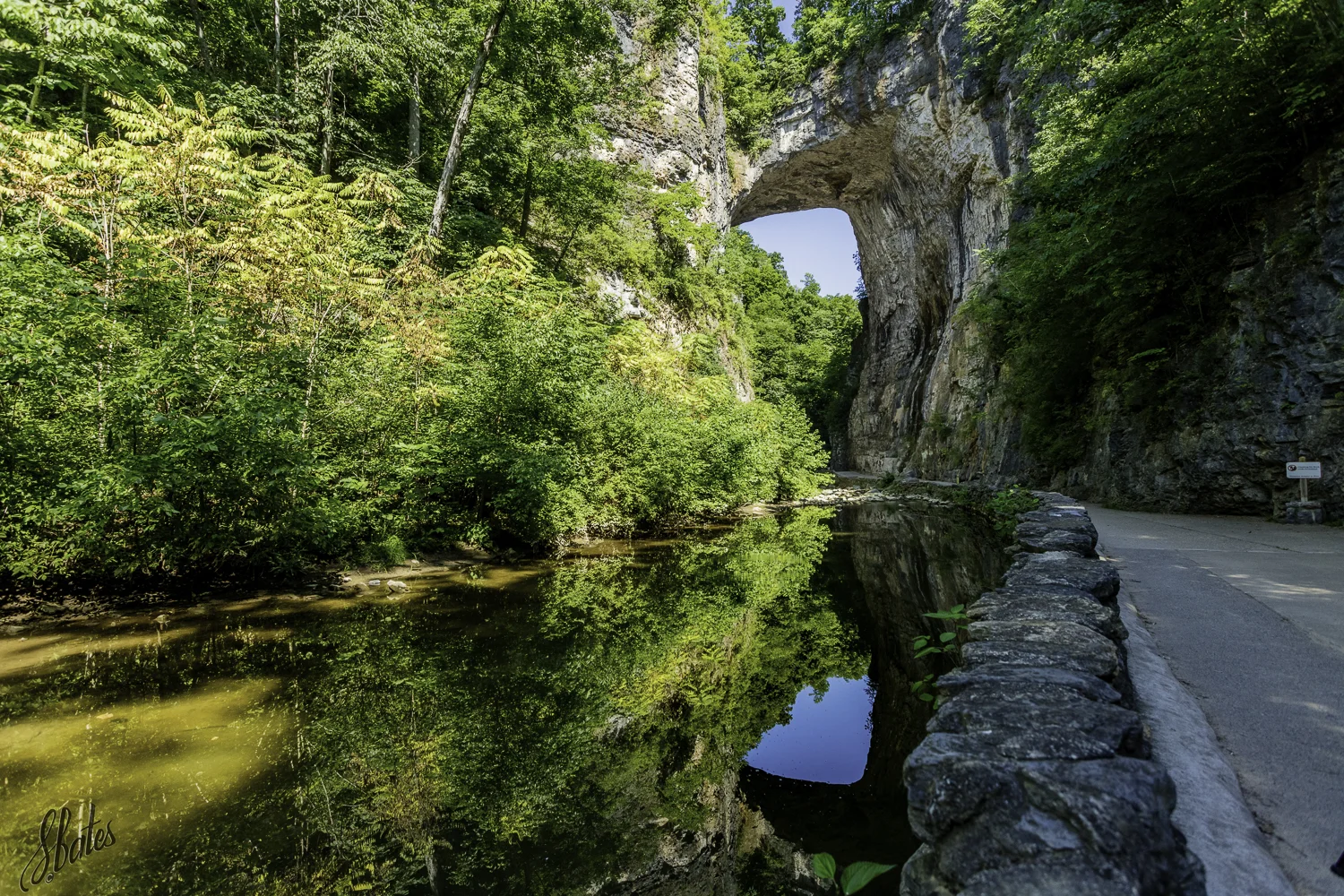
The Natural Bridge is one of the oldest geologic features on the East Coast. Its limestone base is composed of compressed remains of of organisms that lived in the oceans nearly 500 million years ago. The bridge was part of an underground cave system when the James River was formed nearly 200 million years ago. As the water of the river changed course over time, the cave collapsed, leaving only the thickest part of the ceiling. The first survey of the area was done by Peter Jefferson in 1750. It is 215 feet tall, 40-50 feet thick, has a 100 foot span and is 90 feet wide. Thomas Jefferson heard stories abut the bridge from his uncle, Peter, and visited the area in his 20s. He purchased the 157 acres that included the Bridge from King George III on July 5th, 1774 for 20 schillings. Over the years the property has numerous owners. It became a Virginia State Park in 2016.


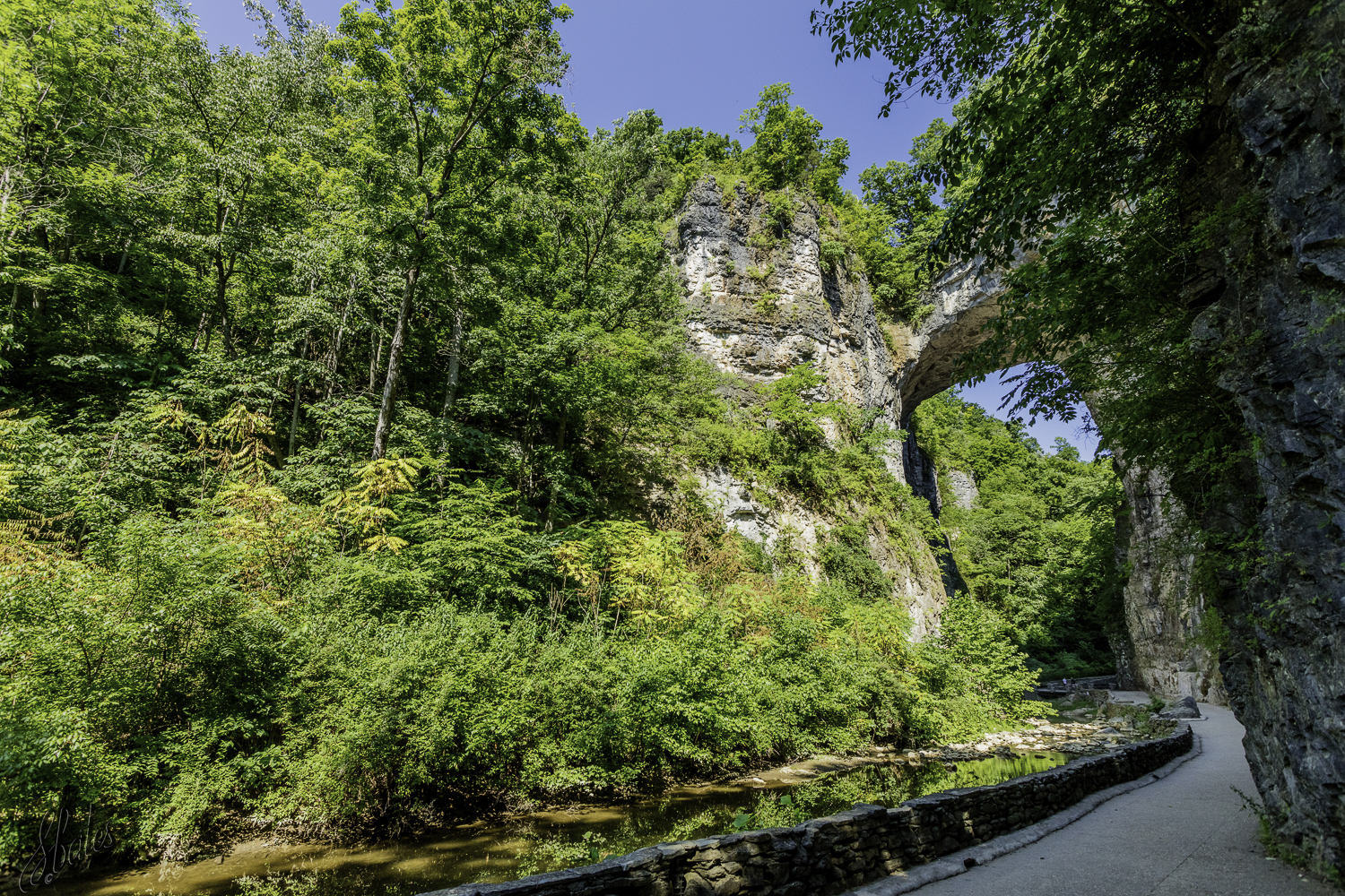
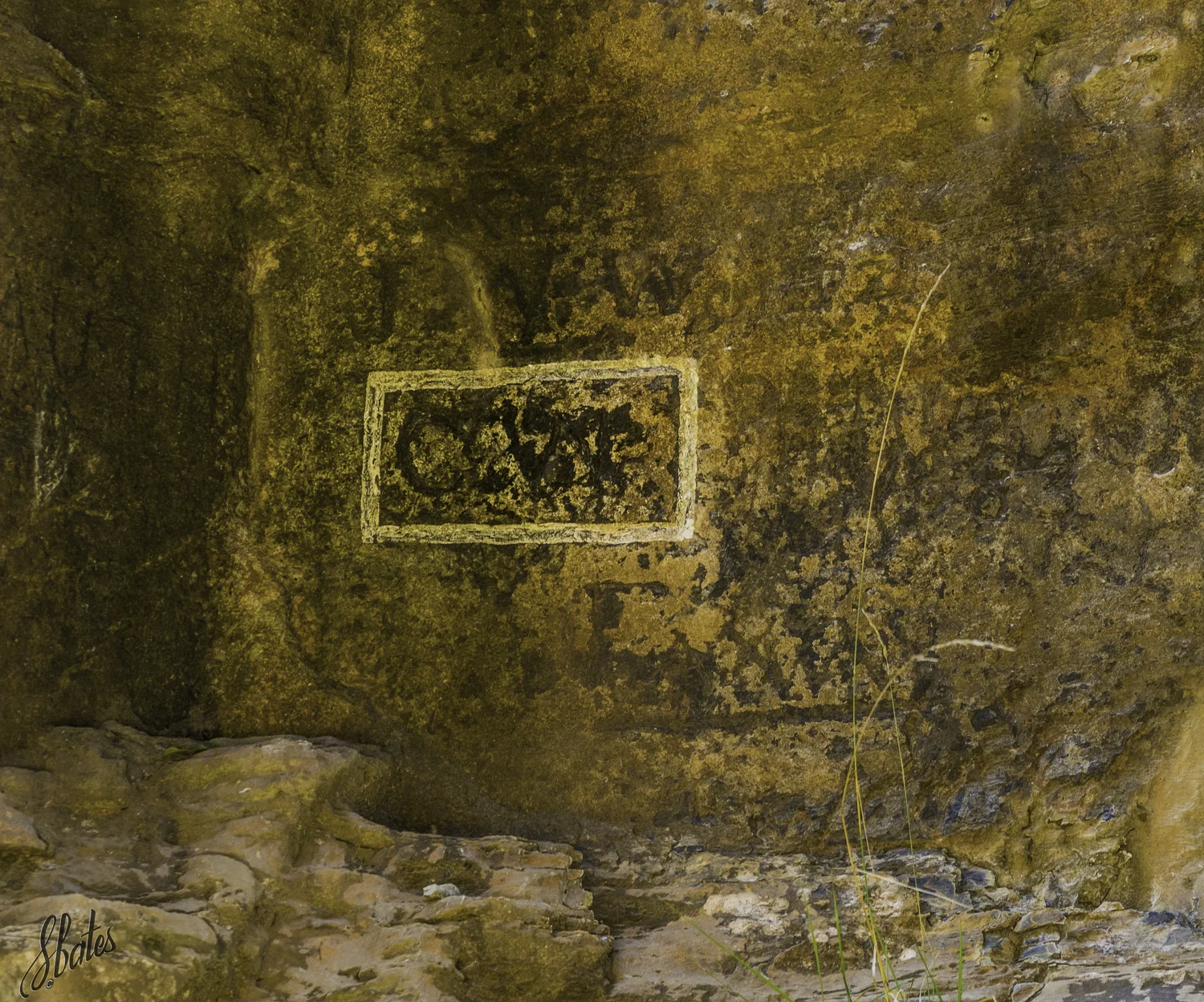
According to legend, a youthful George Washington (1750) was hired by Lord Fairfax to assist him in surveying the acreage surrounding Natural Bridge. While there, story has it, George Washington scaled 23 feet up the wall and carved his initial in the stone.
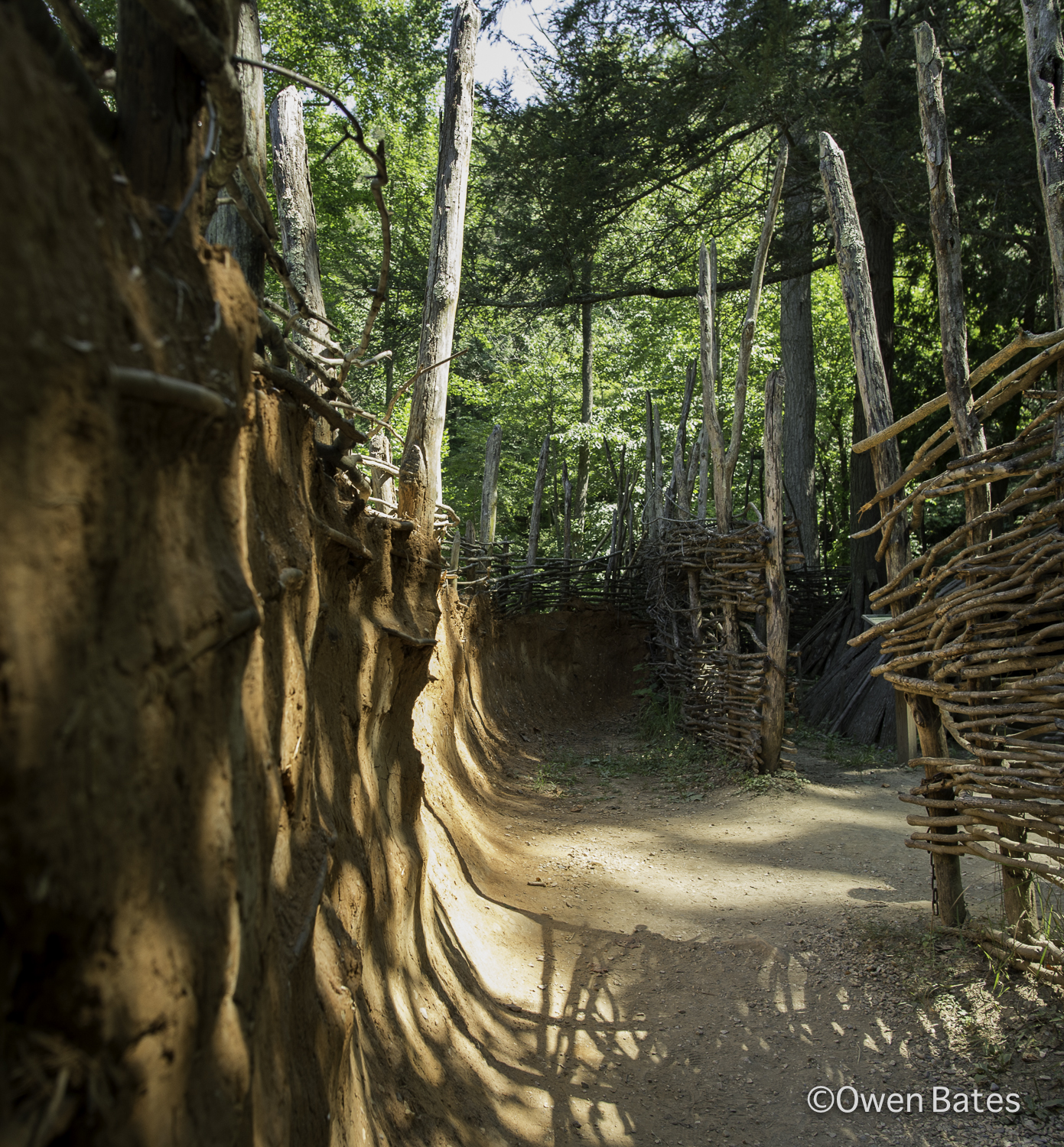
This is the entry into the Monacan Living History Exhibit. It is a recreation of what a small community would have looked like in 1699.
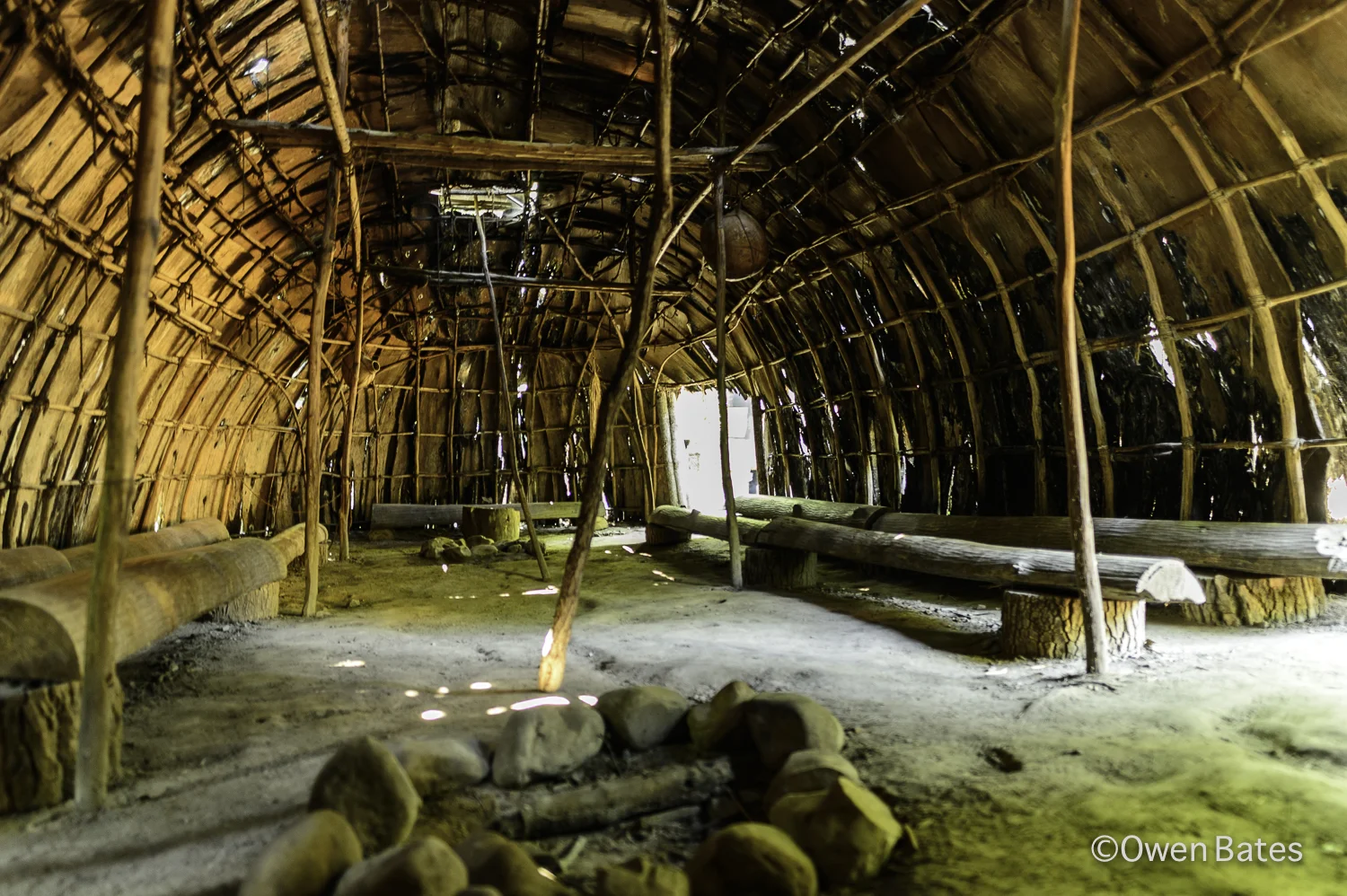
This is the inside of the 'long house' which was used as a gathering place for the leaders of different communities to come together.
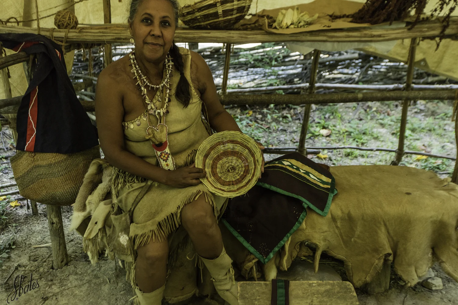
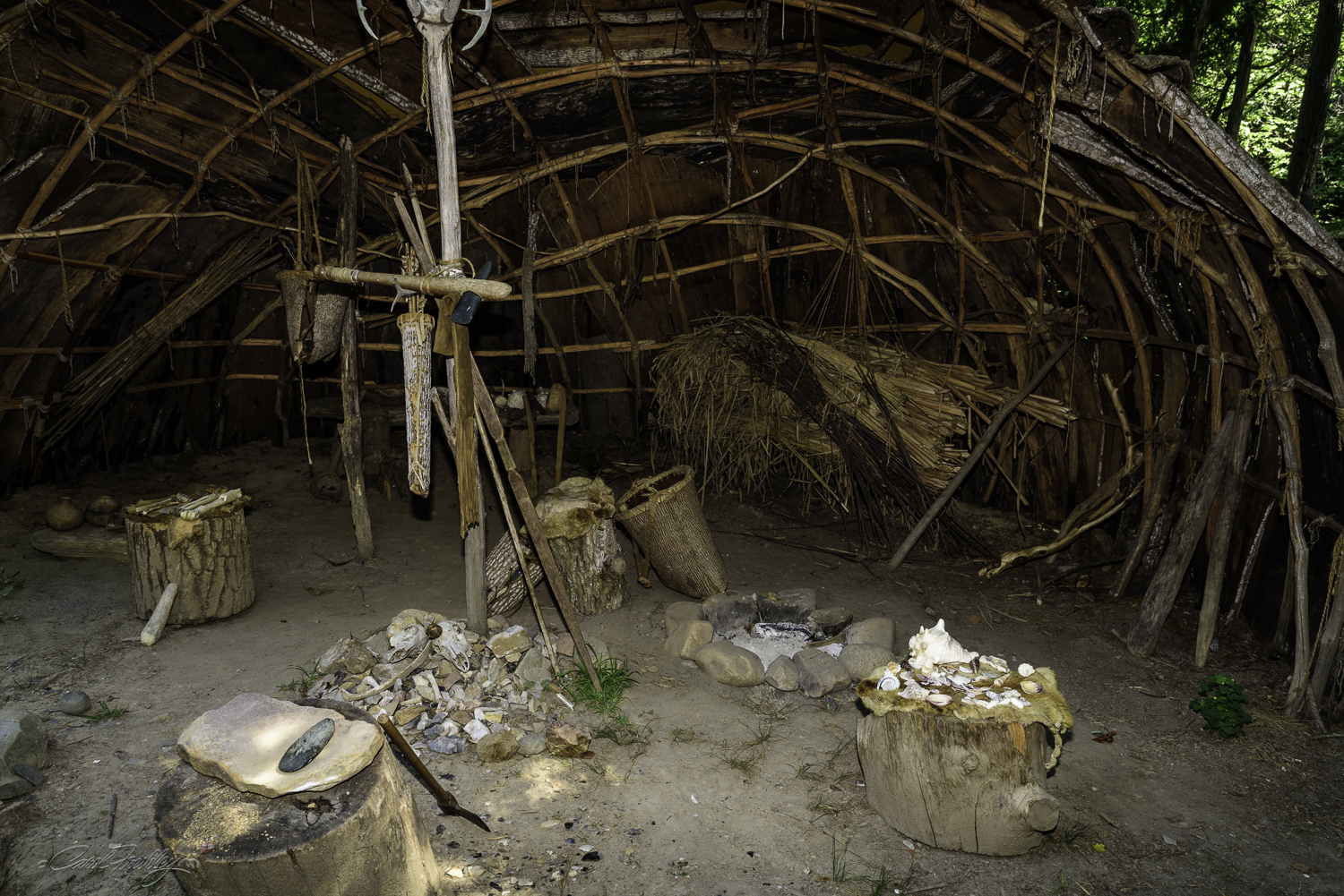
There were interpreters, Monacan I believe, who were there to answer questions and display their traditional items.

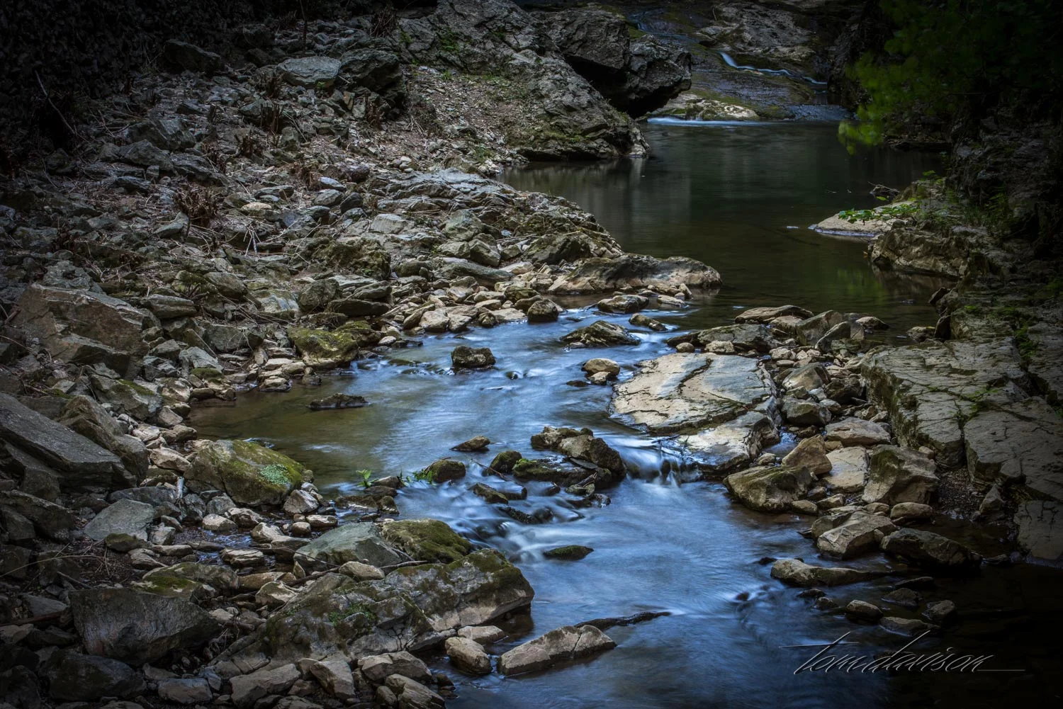
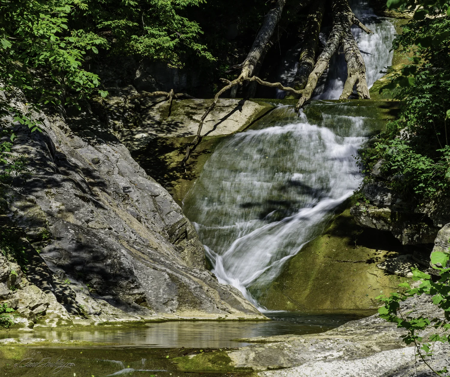
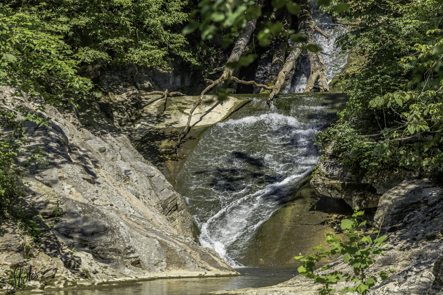
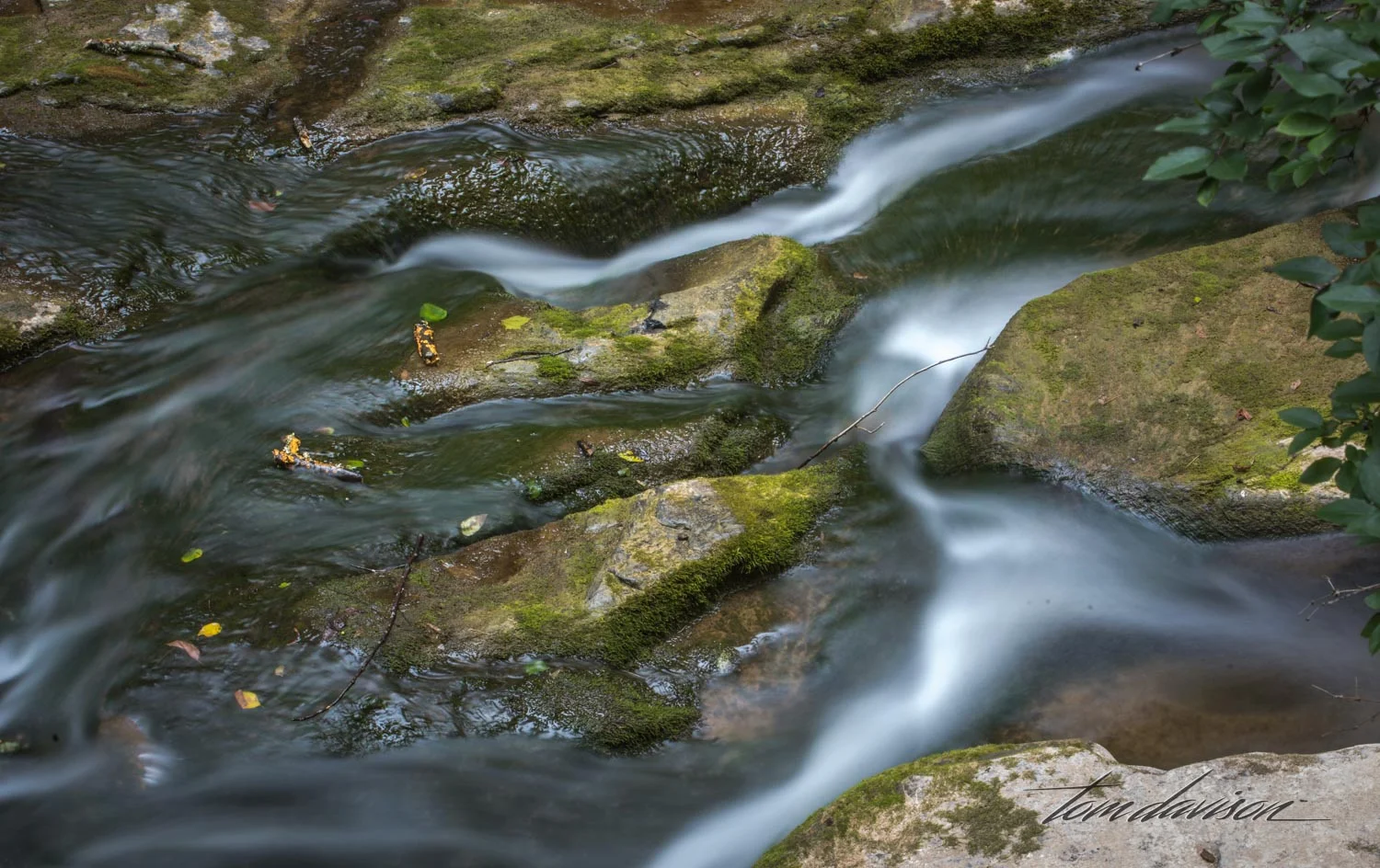
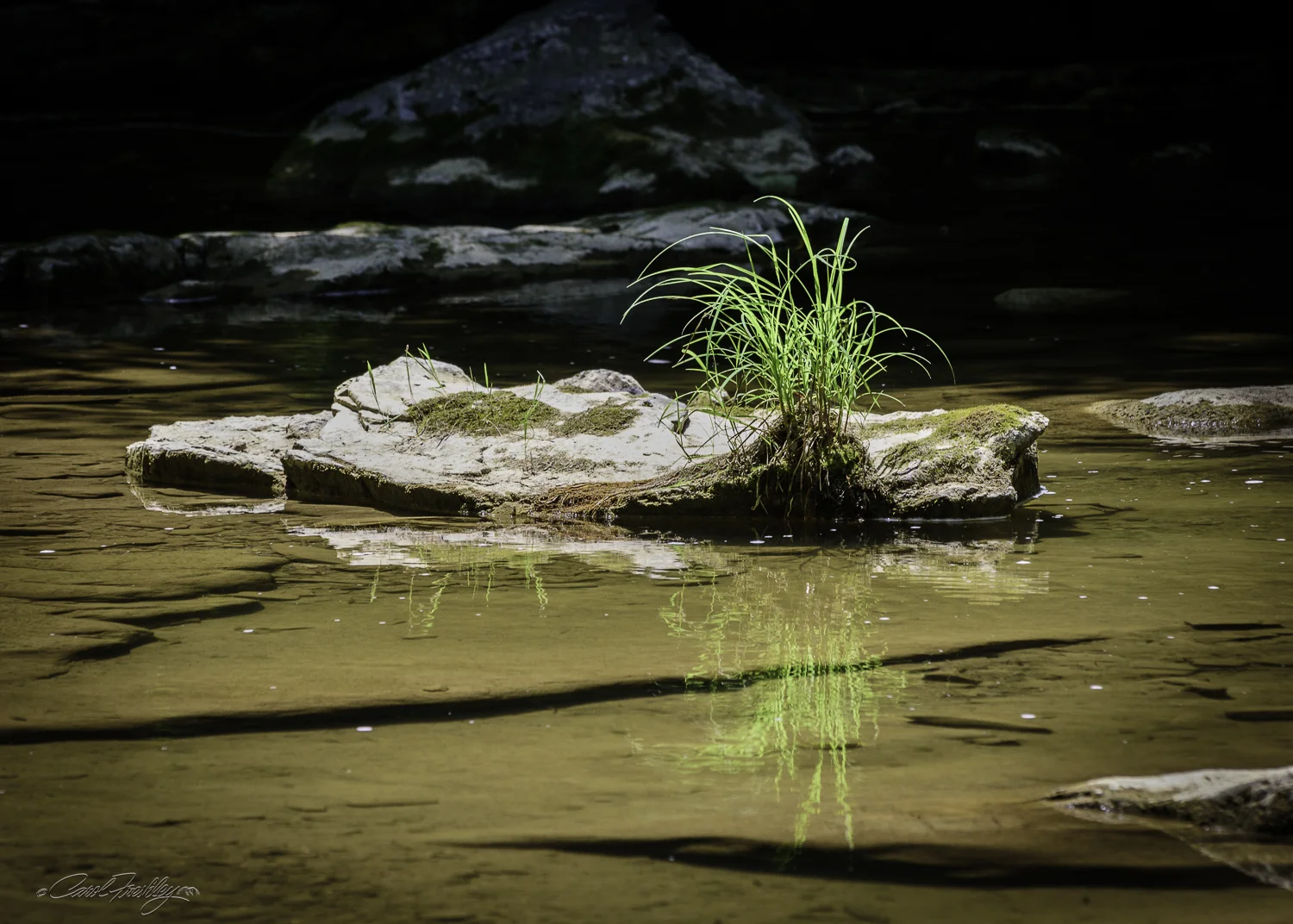
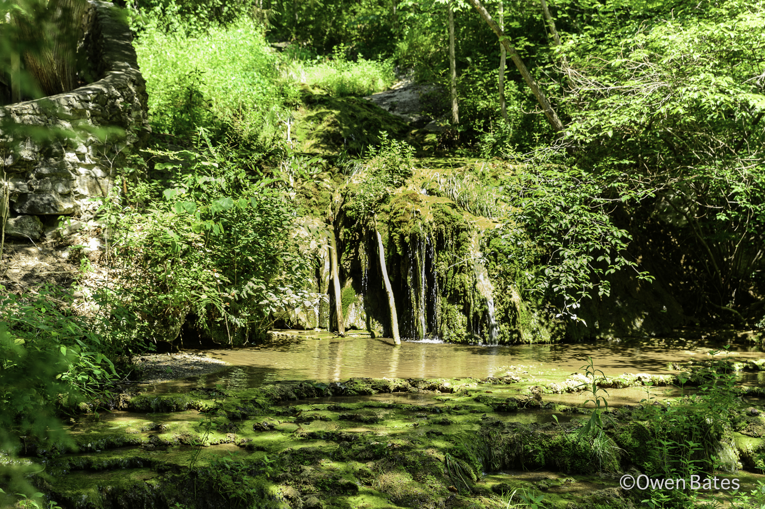
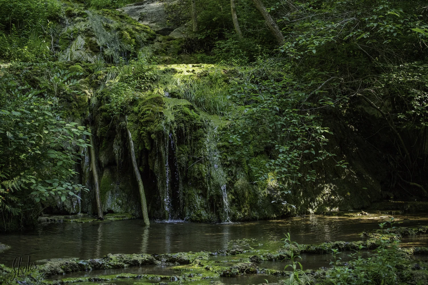
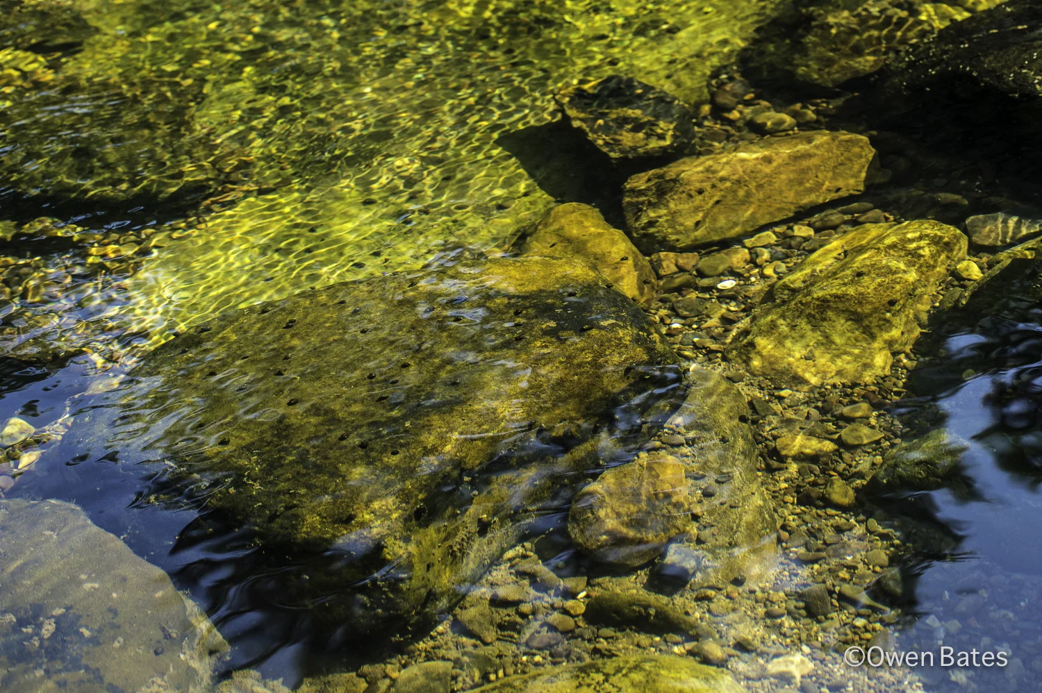
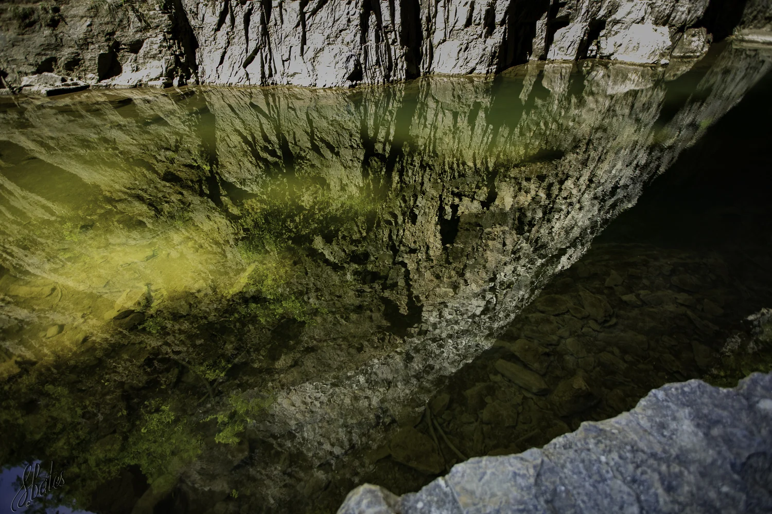
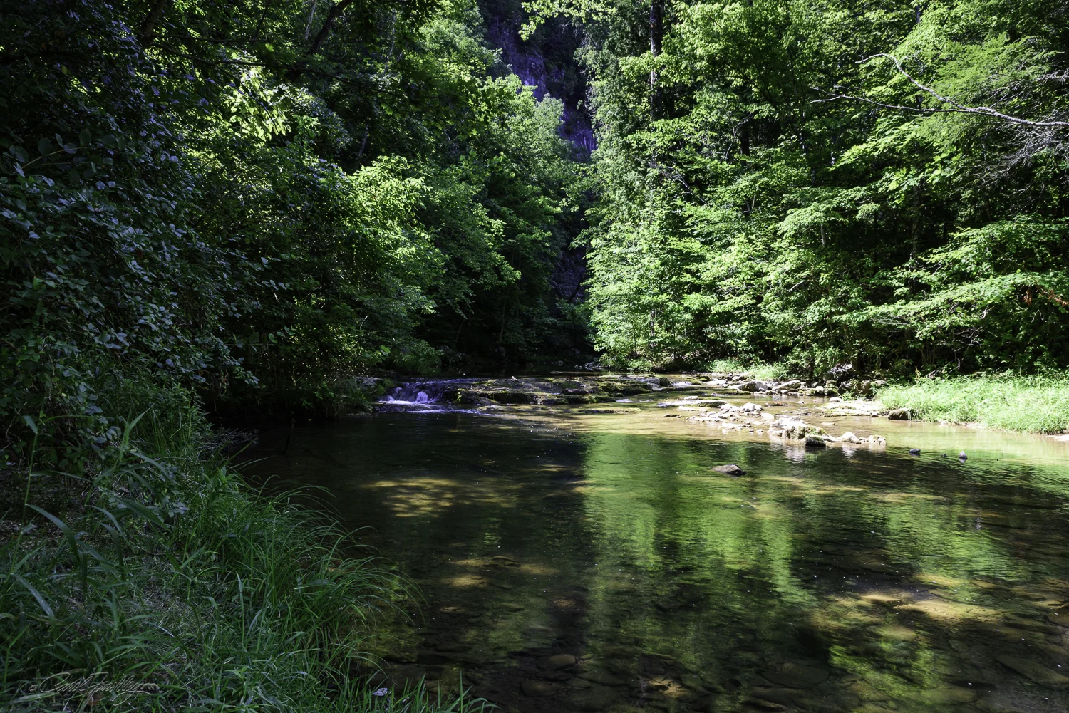
There was not a lot of water flowing down Cedar Creek.
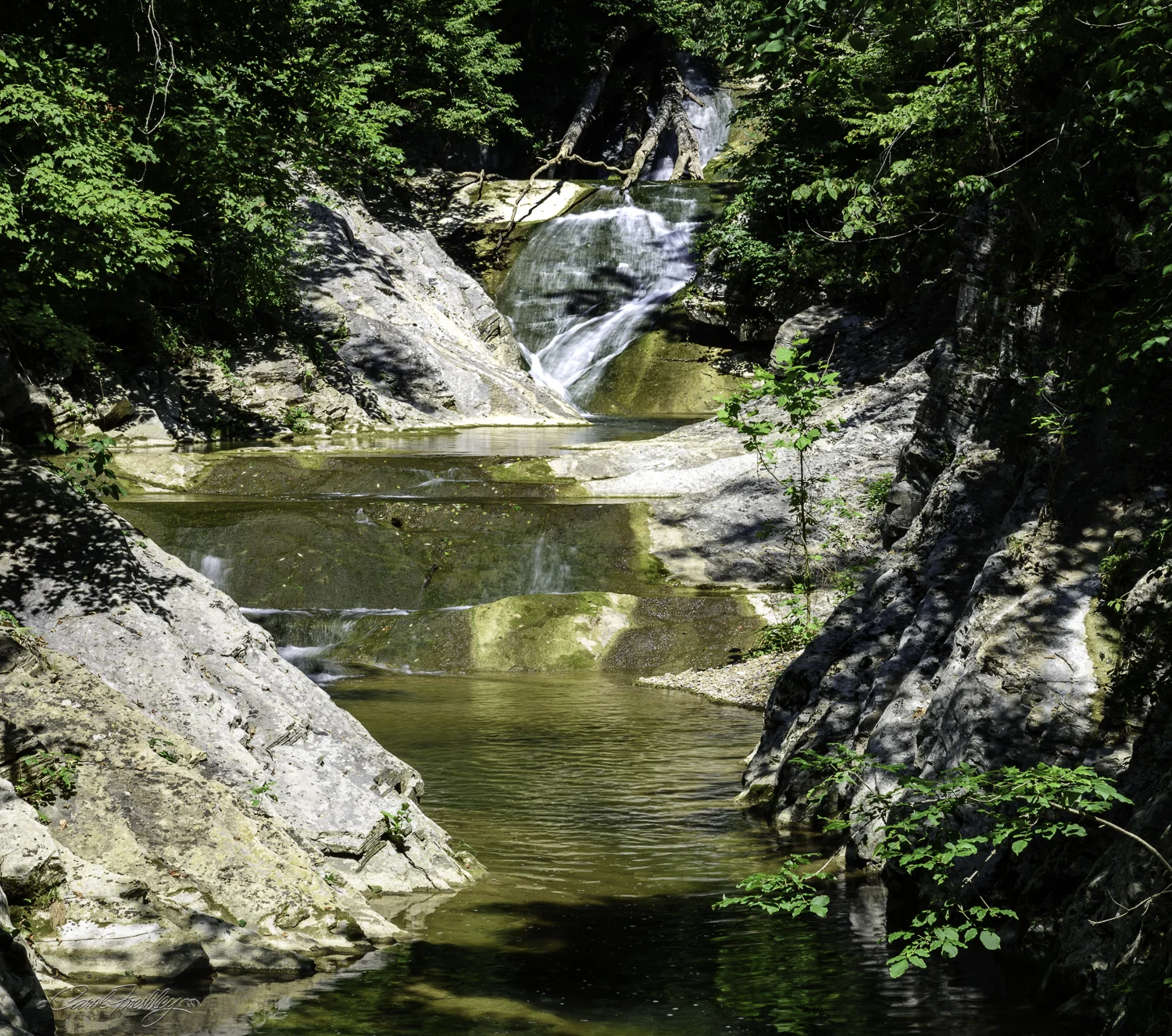
The Lace Waterfall is at the end of the trail. It is almost a mile from the entrance.