Greg and I had a date. Like years ago, we were to just take off and find something great to photograph with a relaxed attitude and a flexible destination. First decision, head east. The weather and lighting was not the best, in fact, it was a day that I might have chosen to stay home. Greg as well. But, we had a date.
We drove right by Superstition Mountain. Too dark, dreary and raining. Off to find better luck at Picketpost Mountain.
Rock fences at Picketpost.
Strands of occasional sunlight. That was to be our day!
There is still some color on the desert floors.
Have you ever tried to capture the dew drops on grass when slivers of light are causing them to shine? I still have not mastered that! Pretend!
I can count on Greg coming up with an image that defies . . .
Picketpost has its iconic windmill and if you go further into the area you will find lots of rock walls, fences and an old corral. This is a good view looking down at part of the area. And that rock? Hmmmm . . . . ask Greg.
When we arrived at Picketpost we ran into another couple taking photos, new friends, Bob and Dottie. Always fun to meet up with other photographers, especially when we can comment on the light or lack of it. Then, as I returned to the car from shooting around the water tank, I ran into Debra and Sandy, our Michigan sisters. We had a good laugh at our chance encounter and then continued to talk about the weather. Greg and I then decided we had to have an early lunch at Porter's in Superior, a favorite when I am in the area. Great hamburgers and a fun place to eat.
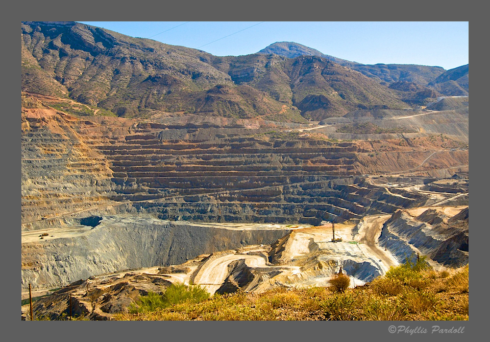
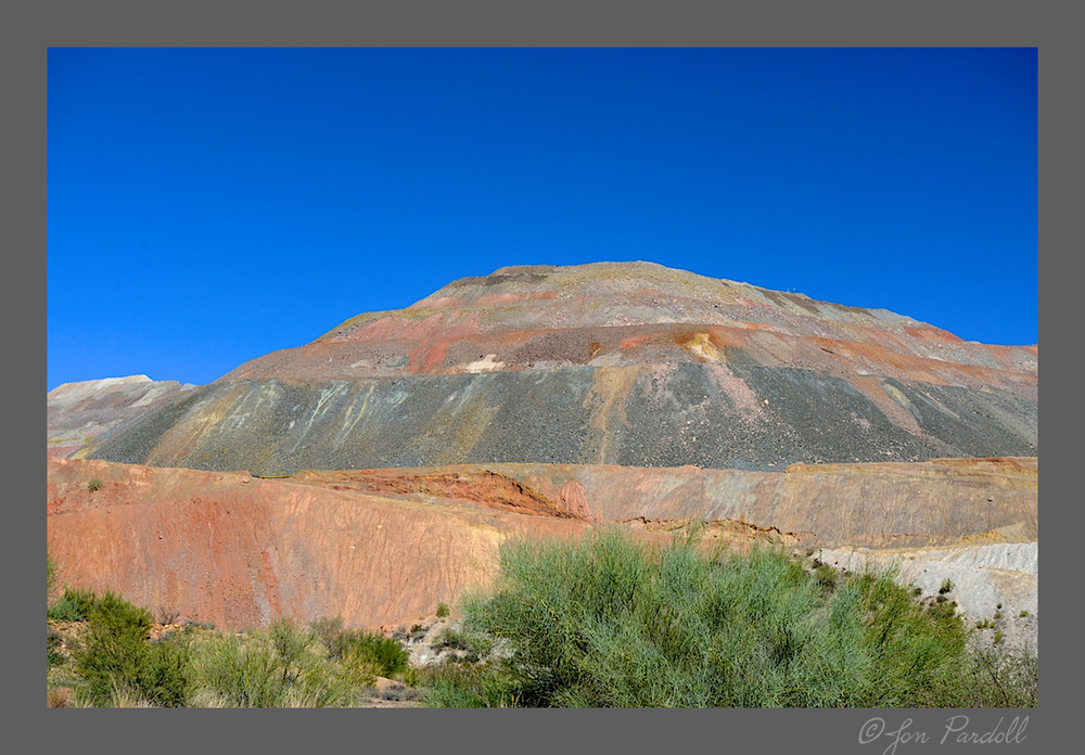
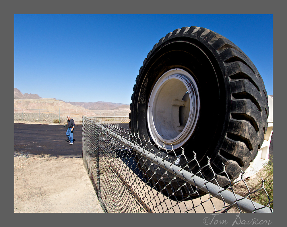
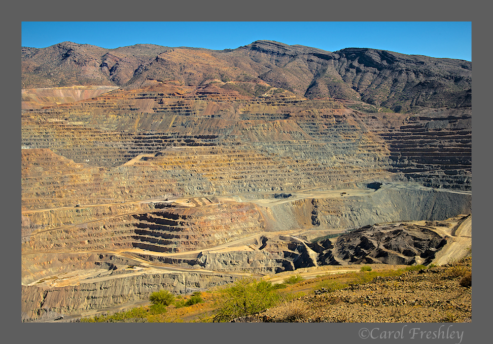
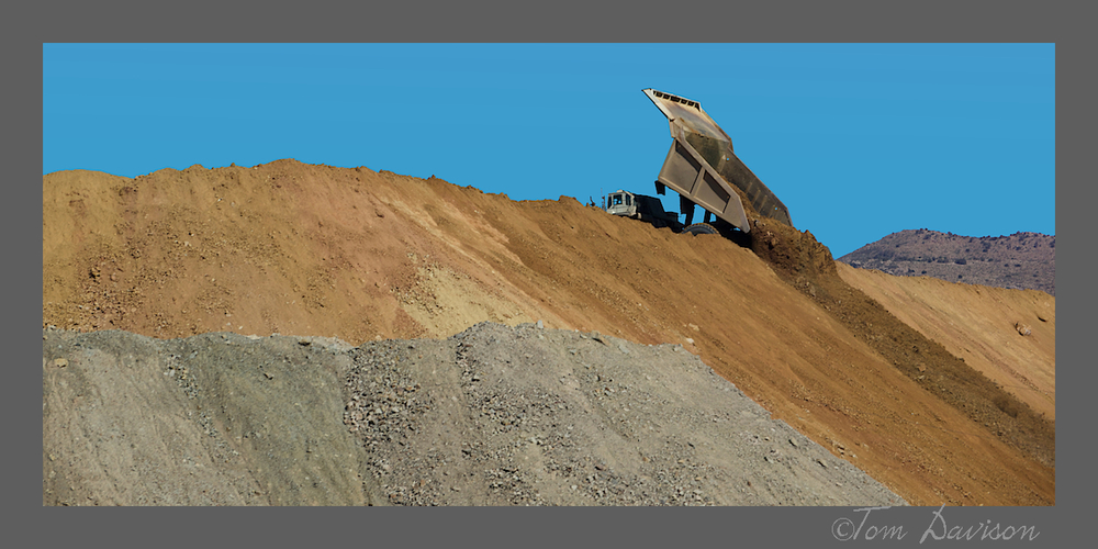
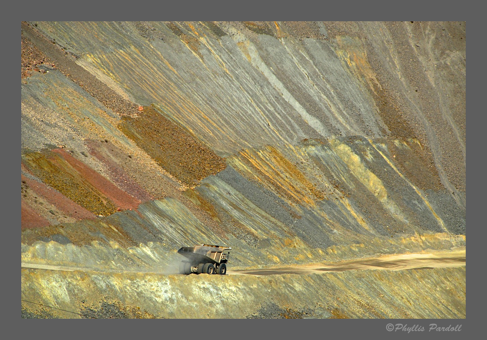
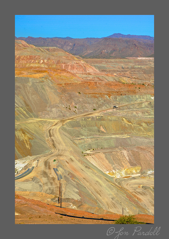
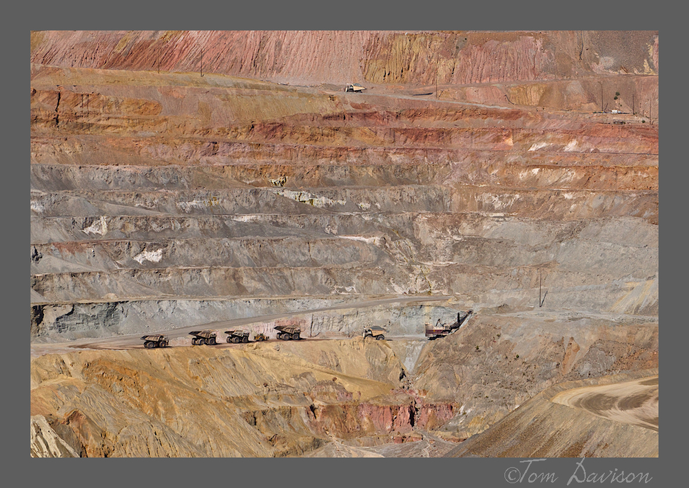
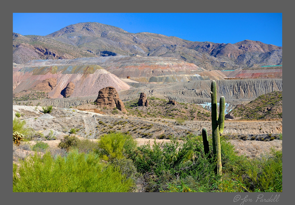
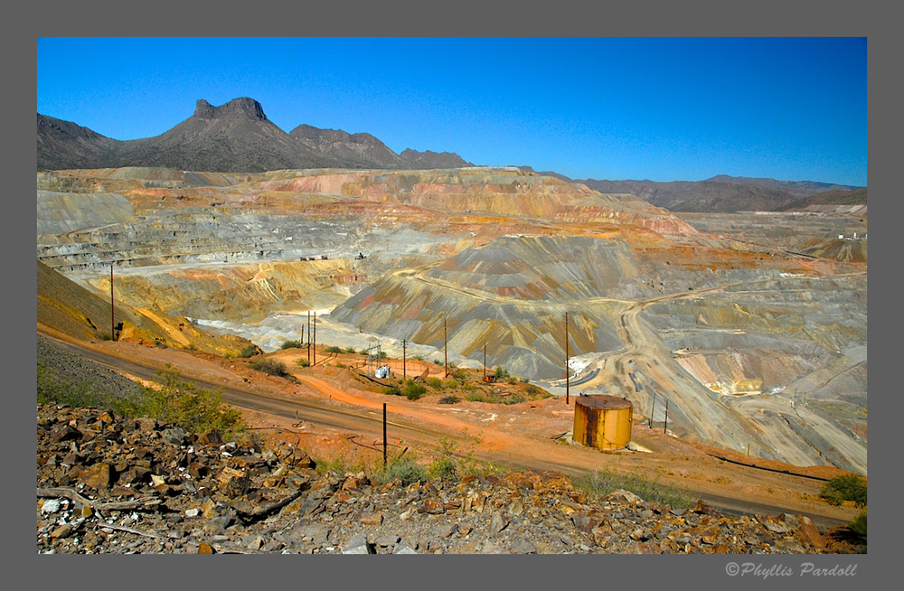
It was raining when we left Porter's Cafe. We decided to head south to Winkelman, stop at Ray Mine and then drive up the back way into Globe.
Was it my imagination that every color was crisp and freshley rain-washed?
Once we turned back towards Globe from Winkelman, we could see the Gila River. It took a bit to figure out how to get down to the river. Very interesting geology. The river was a yellow green. What really impressed me was the idea that this area would be great for fall foliage. We could still see some evidence of what it might have looked like.
Post Note: When David Pence read this entry he sent me the following message, " I think, by your pic and location description, the interesting geology is, originally horizontal beds of Mescal Limestone folded to an upward arching anticline. There is a diabase intrusion which is most likely the cause. Those rocks are about a billion years old (Proterozoic)." David took photos of this same anticline for a Geology class project. Thanks David!!
A different angle.
This area has a campground called The Shores. Decent parking above the river just off the road, with a short walk down. Birds of all kinds could be seen everywhere. There were a couple of birds that were diving into the river, I assume finding food. Way too cold for a bath!!!
The clouds came and went. White out then blue. Then white out then blue. Interesting day.
Taken from a point that is called Top of the World. Used my 15mm Sigma fisheye for this very wide shot.
These are the majestic rocks that are on both sides of the canyon as you approach the tunnel just before going into Superior.
We talked about a Golden Hour shot, perhaps at Lost Dutchman. We passed Picketpost which was, as we saw in Sandy and Debbie's images later, not a bad choice. Once we reached Idaho road and looked at the Superstition Mountain we realized that the sun was going to head down in a bank of dense clouds. We had already enjoyed a full day so we headed on home. Thanks for joining us.