If you are a photographer and you are in the area you must go! That is what we were told. We looked at photos on 500px and other places. But the photo that really made the decision for us was taken by a friend, Diane Kaiser. We have seen no better. We decided that Tom would take the jeep tour to the site of the Crystal Mill. The photos below are of the Mill and photographs taken from the passenger seat and pull-out stops along SR 133 and CR 3. Thank you Diane.
There was a storm system moving in. The clouds were at times dark, quickly moving and threatening. Then, there were areas where the sun was shining through. Tom took his rain gear!
If you look at other photos of this site you will soon discover that the water level along Crystal Creek varies seasonally.
It is always tempting to try new processing techniques when you have lots of material to play with.
This is Lizard Lake. It is on the way to Crystal Mill.
This is Bear Lake. It is just outside of Marble and on the way to Crystal Mill.
Half the fun was just getting there. Tom and I both took photos along SR 133 between the intersection with CR 12 and Marble, CO. The jeep tour leaves from Marble.
Along CR 3. I was drawn to the beaver house. I took this after I dropped Tom off and on my way to Carbondale for gas. I was disappointed that the wind was so strong. My dream image was of all the reflections in the water.
A side creek that runs into Crystal.
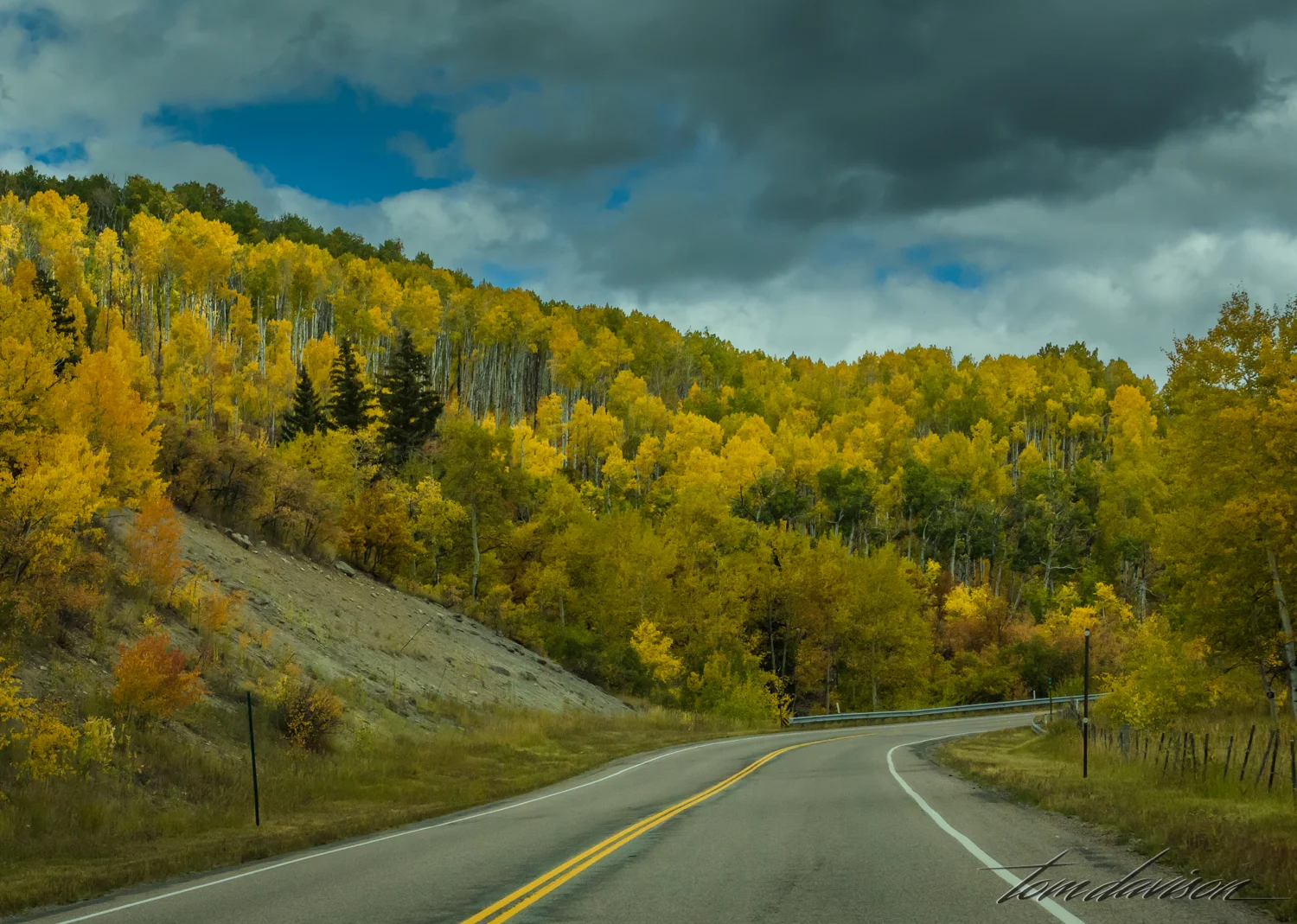
It is difficult to keep one's eyes on the road when this is the view to the left!
Turn to the left. Nice. Sun peeking through here and there. Much better in person.
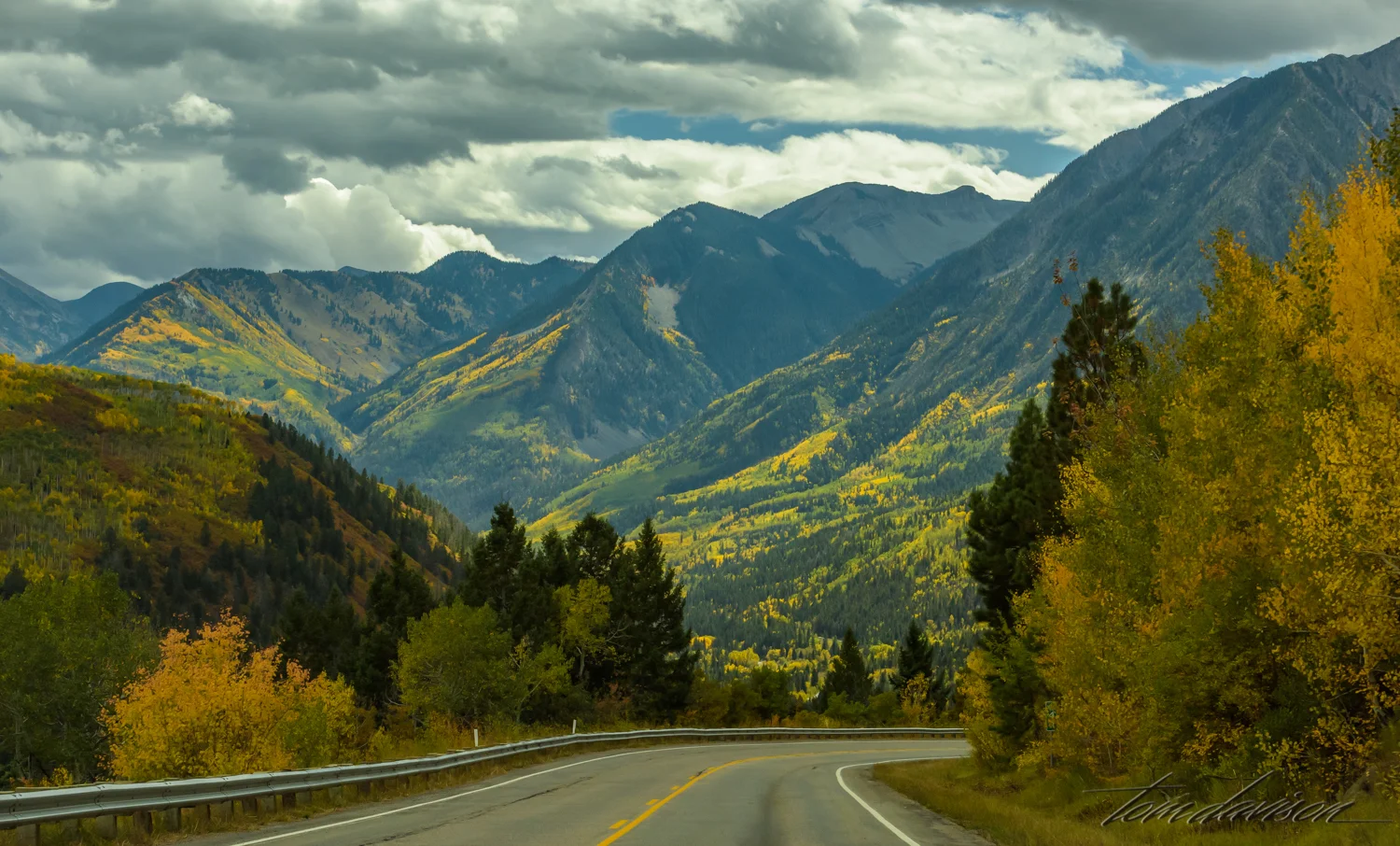
Turn to the right. Nice!
Left again.
Right again. Can you even imagine how much fun we were having?
Just so you know. . . . I pull over for capturing images like this. When Tom is with me I let him do the photography. In this case, I was by myself. Keep my eyes off these scenes and on the road looking for pull-outs is challenging!
Just hours later, after picking up Tom. Much more like I imagined!
Tom always prefers a foreground. Me, not so much. We can smile at our different approaches in composition. Gives you a choice.
We were hoping to get in a bit more photography before the sun left us in the dark. Tom kept raising his ISO. I slowed down when I could. The big decision was whether we dared return over Kebler Pass as we had come (much shorter) so late in the day with storm threatening weather. We chose the Pass.
One more lovely day chasing Colorado Gold. A very special thanks to Diane. You inspire us.