Rick sent this along with the photographs. "Just returned from an 8-day visit to Cancun, Mexico. We stayed at the all-inclusive Barcelo Maya Resort, which is about 1 ½ hours south of Cancun. Took a one day trip to Cozumel by ferry where we visited the Chankanaab Park for some snorkeling in amazingly clear waters then down to Punta Sur lighthouse on the southern coast. The most amazing part of the trip was the visit to the Tulum Archeological ruins of the Mayan Indians."

This was the view from their hotel room. Why was I not invited? Magical!

A view from the lobby.

Whoa! Drips, water droplets, stopped action . . . this is the dolphin show at the resort. I went back and checked the metadata. He took this at 1/1000.

This is the Chankanaab Resort Park in Cozumel.

The Punta Sur Lighthouse in Cozumel.

View from top of Punta Sur Lighthouse in Cozumel

Sunset leaving Cozumel Ferry pier
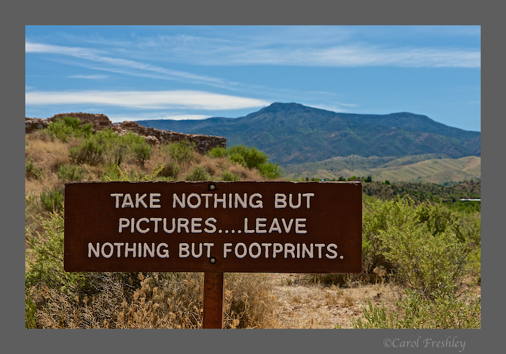
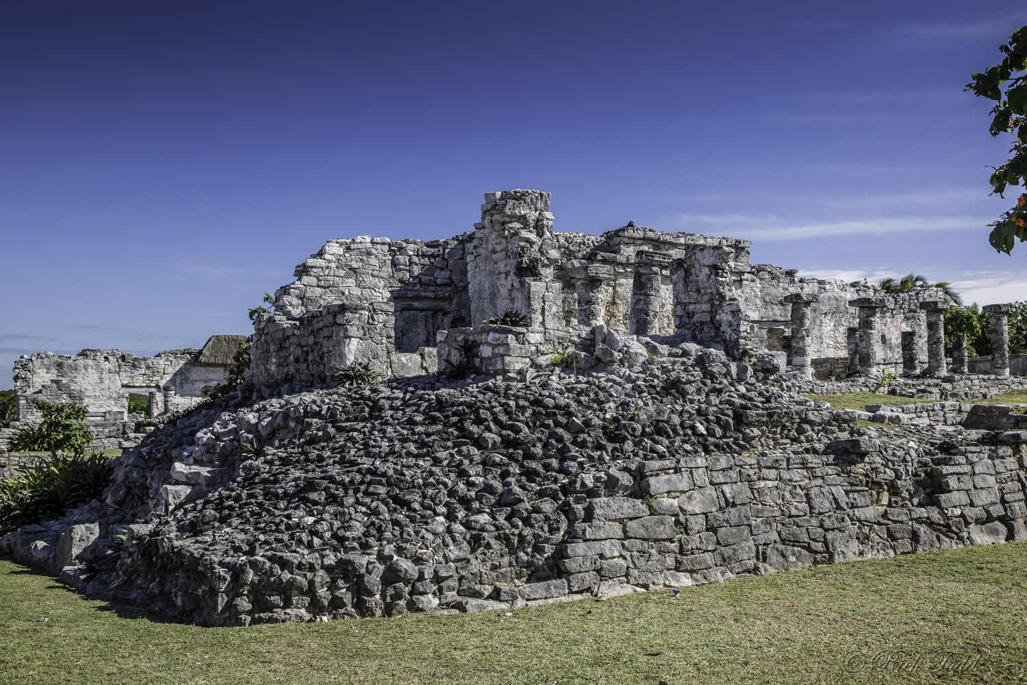
"The walled city of Tulum was one of the last to be built by the Mayans, and its archaeological sites are incredibly well preserved. The ruins are situated on 12-meter (39 ft) tall cliffs along the east coast of the Yucatán Peninsula on the Caribbean Sea in the state of Quintana Roo, Mexico. Tulum was one of the last cities built and inhabited by the Maya around the 6th century and was at its height between the 13th and 15th centuries. During the peak it’s population was around 1600 occupants. The Tulum site was formally known by the name Zama, meaning City of Dawn, because it faces the sunrise. Tulum is also the Yucatan Mayan word for fence, wall or trench. The walls surrounding the site allowed the Tulum fort to be defended against invasions. Tulum had access to both land and sea trade routes, making it an important trade hub, especially for obsidian (volcanic glass)."

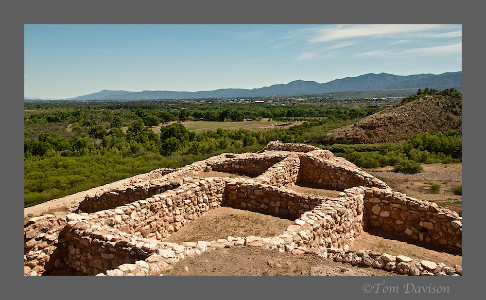
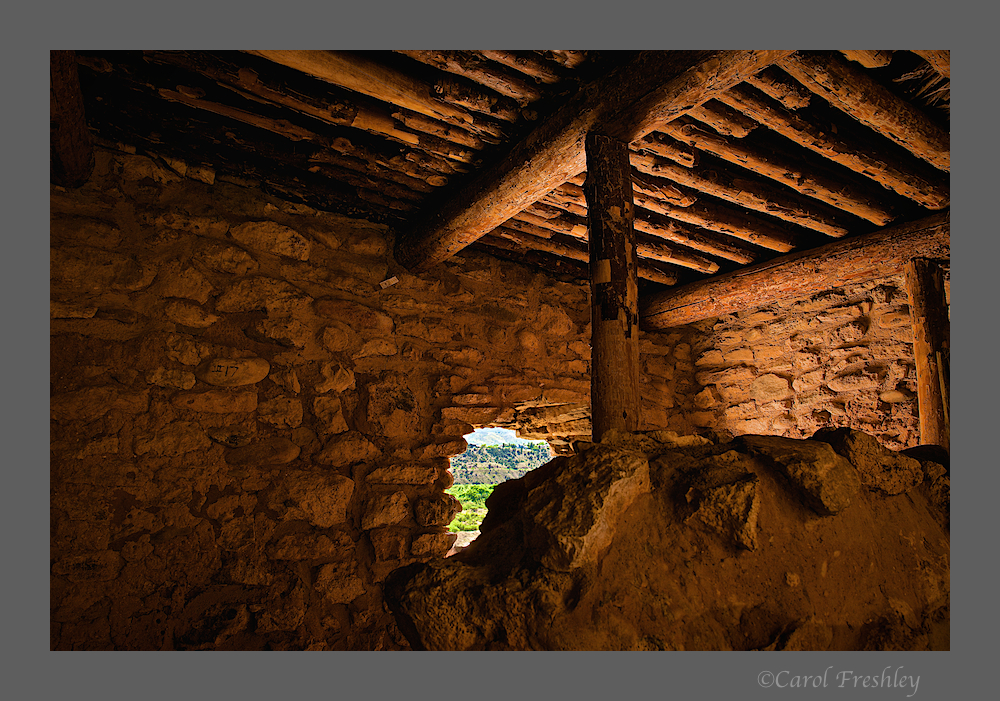
Tulum Mayan Ruins

Tulum Mayan Ruins

Tulum Mayan Ruins

Tulum Mayan Ruins

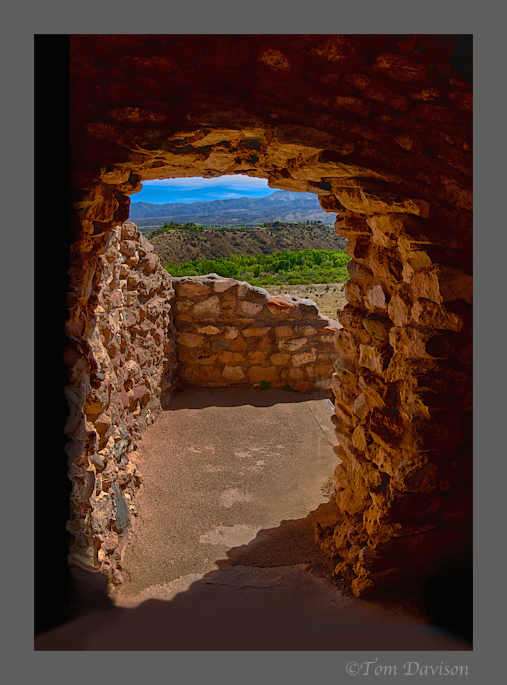
View from Tulum Mayan Ruins

Tulum Mayan Ruins

Tulum Mayan Ruins

Tulum Mayan Ruins
Tulum Mayan Ruins

Christmas lights at Barcelo Maya Palace Resort
Wow! What a vacation. Now I want to go. Thanks so very much for sharing.