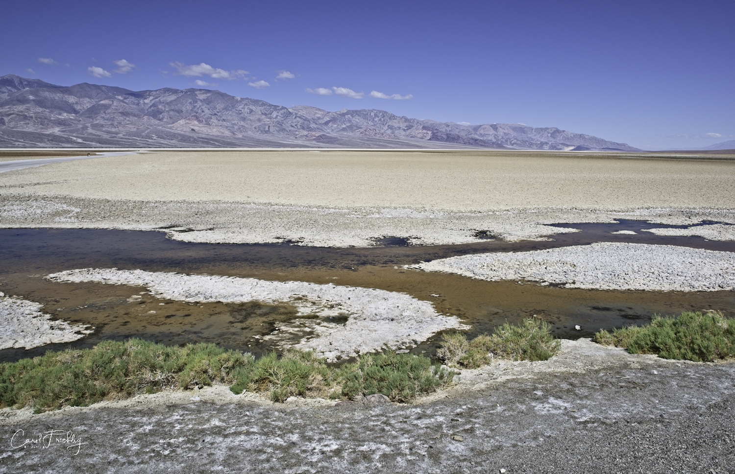
You can see the salt basin in Death Valley can be seen for miles. It is a long and or wide ribbon of white in many of our photographs. The salt flats in Badwater Basin cover nearly 200 square miles. The basin is the end of a 9,000 square mile drainage system. As rainfalls and snow melt from distant mountains empty into this basin it has nowhere else to go (an endorheic basin). The formed temporary lakes evaporate, leaving concentrated minerals, mostly salt.
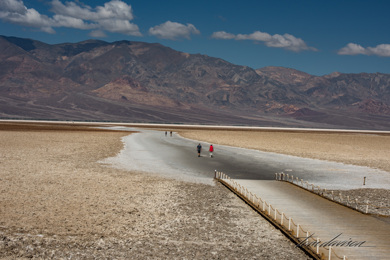
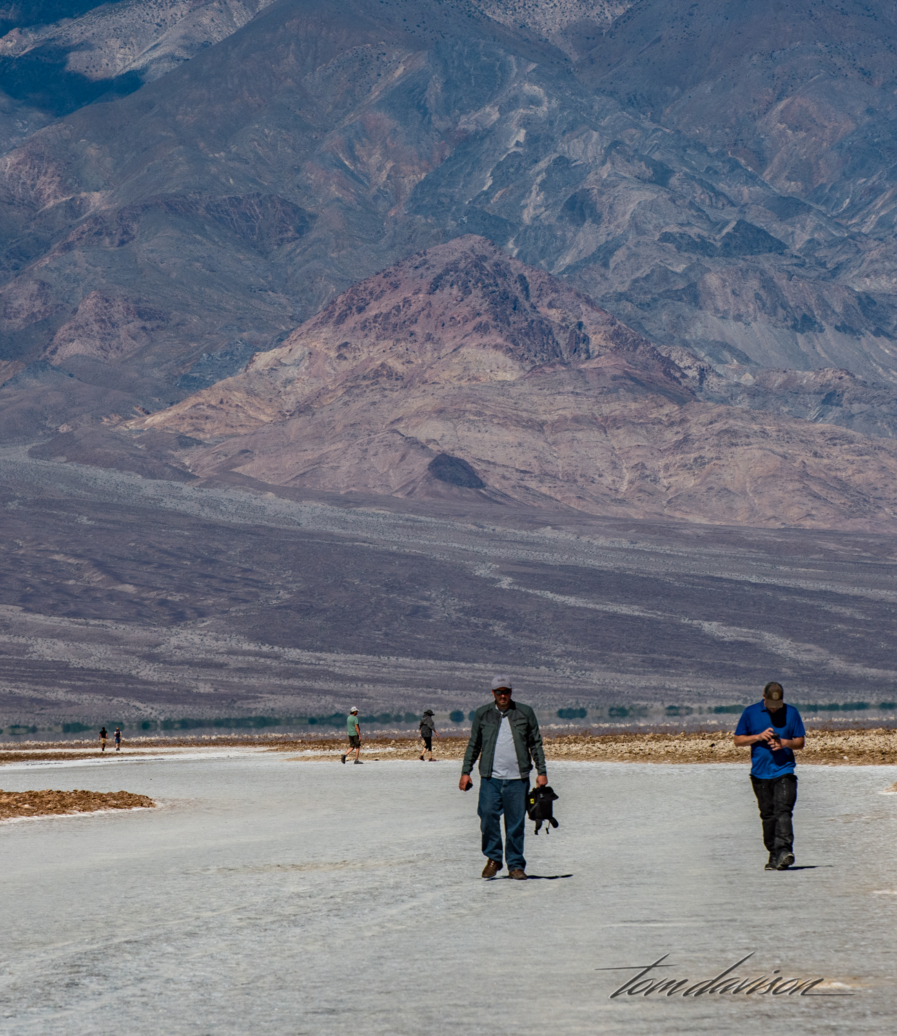
Walking out on the salt was a bit like walking on a salt lick! It is sort of hard, yet crunchy. There is a bit of an odor but it is not bad. While there is a sign up on the rock behind the parking lot (see if you can find it . . . white . . . very small) indicating the sea level, the actual lowest part of the lower Continental US is actually some miles away and very difficult to access.


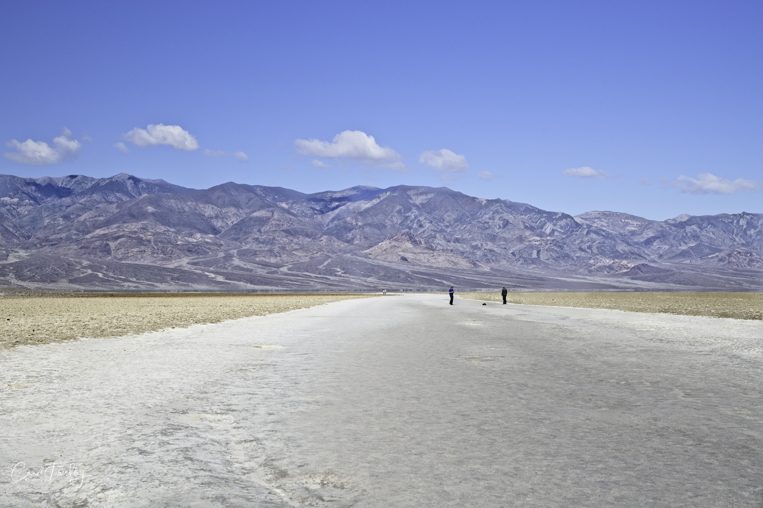


Look for the sea level elevation sign. it is right in the middle!

Panamint Mountain Range to the west of Badwater Basin.