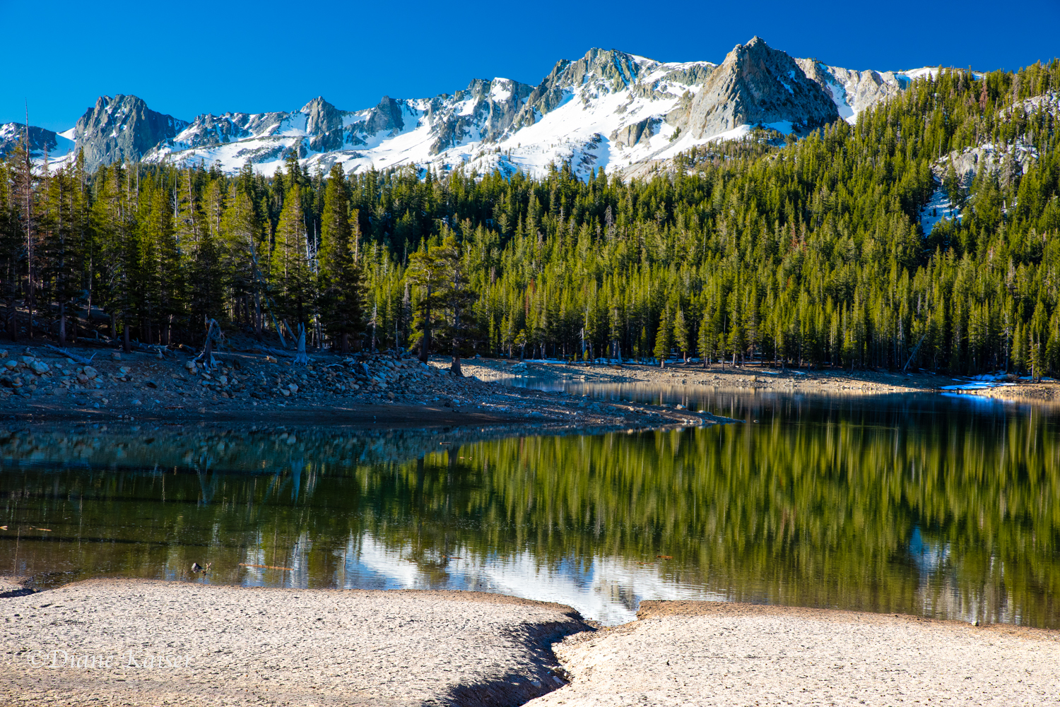
This lake is part of a basin of lakes found in the Eastern Sierra Nevada mountain range. It is accessed by turning off Highway 395 at Conway Summit about halfway between Bridgeport and Lee Vining. There are two lakes within the basin, the Little or Lower Virginia Lake and this one which is also referred to as the Big Virginia Lake. We photographed here several times last spring and then again this fall.


The lake is popular with anglers, hikers and campers. There is a trailhead near the lake that serves as one of several gateways into Yosemite National Park and other great hikes in the Sierra Nevada, including the Pacific Crest and John Muir Trails.
![Located in the Virginia Lakes area are a resort,[2] pack station,[3] and small community. Virginia Lakes is popular with anglers, hikers, and campers. A trail beginning at Virginia Lakes serves as a gateway to the Sierra backcountry and Yosemite Nat…](https://images.squarespace-cdn.com/content/v1/539e6c0ae4b0fc2344627886/1539079755272-HRHVIUAM69GJTOCK807M/Virginia+Lake-4.jpg)
Located in the Virginia Lakes area are a resort,[2] pack station,[3] and small community. Virginia Lakes is popular with anglers, hikers, and campers. A trail beginning at Virginia Lakes serves as a gateway to the Sierra backcountry and Yosemite National Park.[4]

This is the Virginia Creek which flows through a number of lakes in the basin, including both Virginia Lakes, Turnbull, Red, Blue, Cooney, Moat and Frog Lakes.


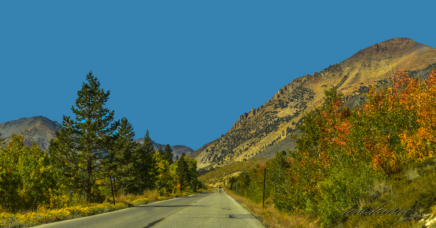
We returned to Virginia Lake this fall when the view from the Highway suggested that fall color was developing.

Ah so!! This lake is so clear! Fall is here!


Fall color here is due more to shrubs on the mountainside than any groves of aspen. That was OK with us. It is still a beautiful lake.