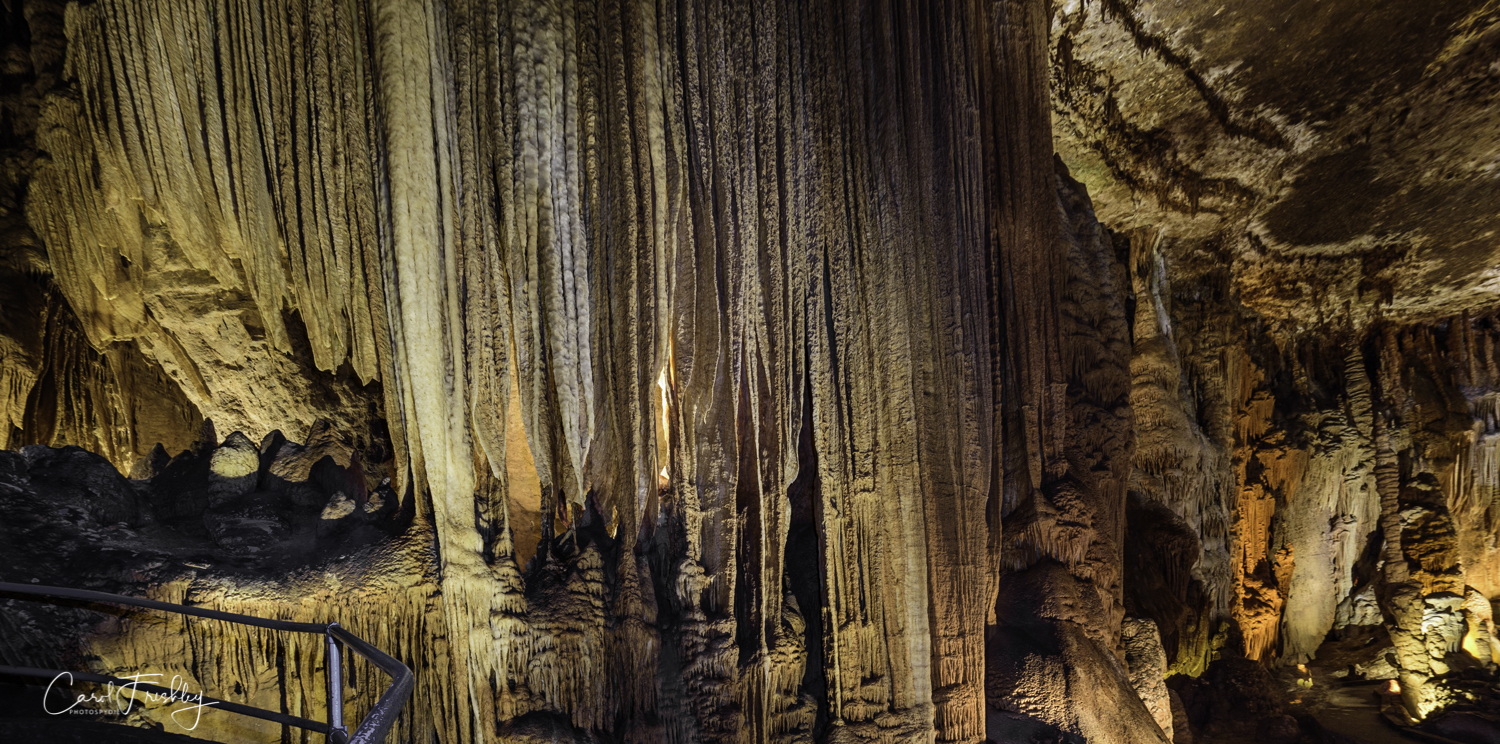
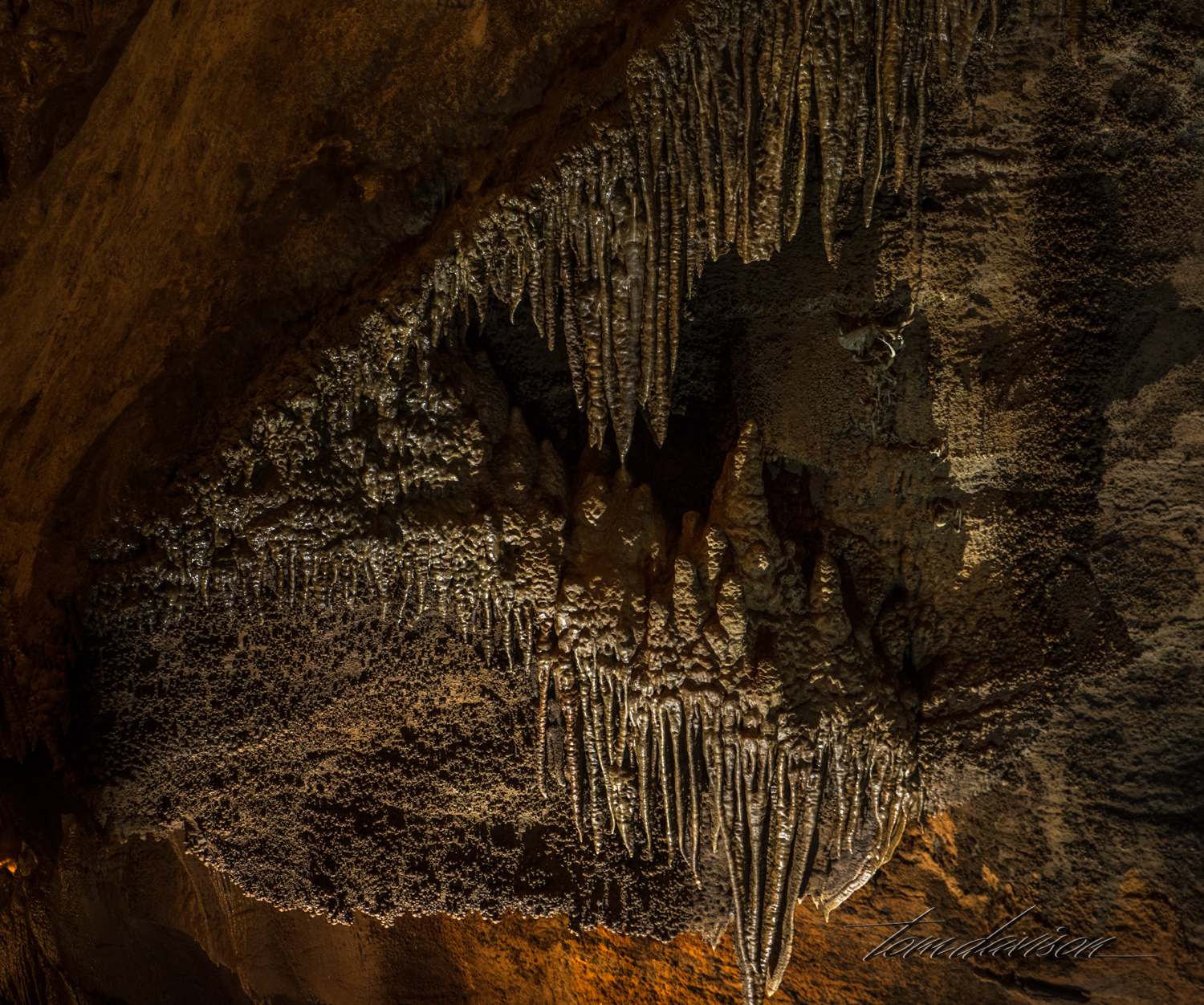
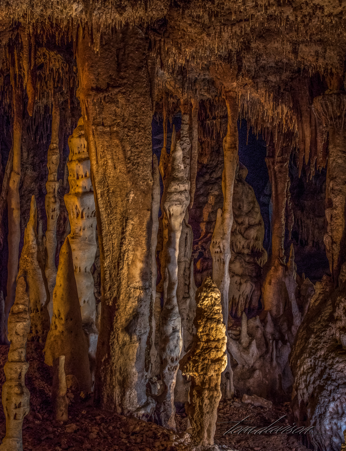
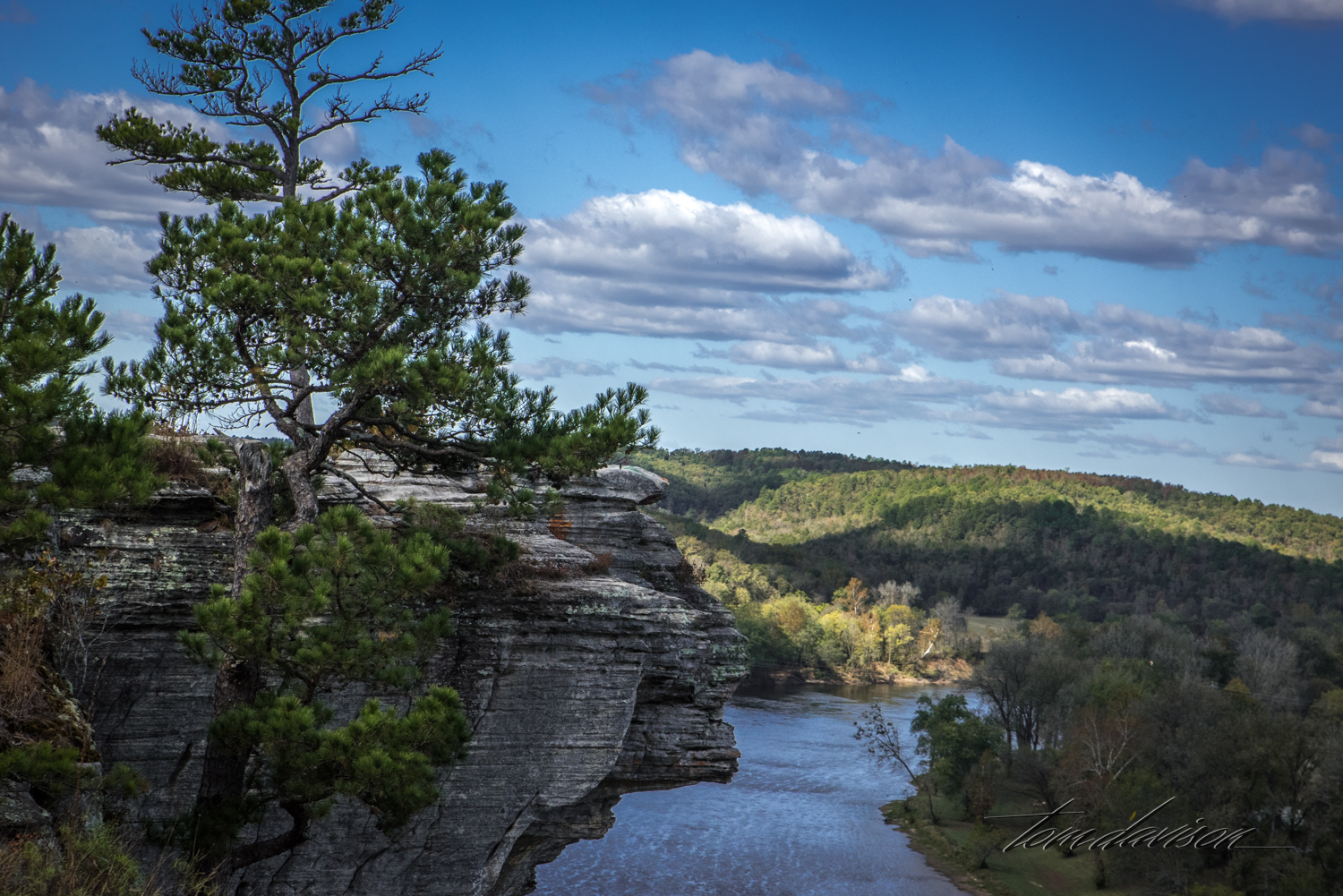
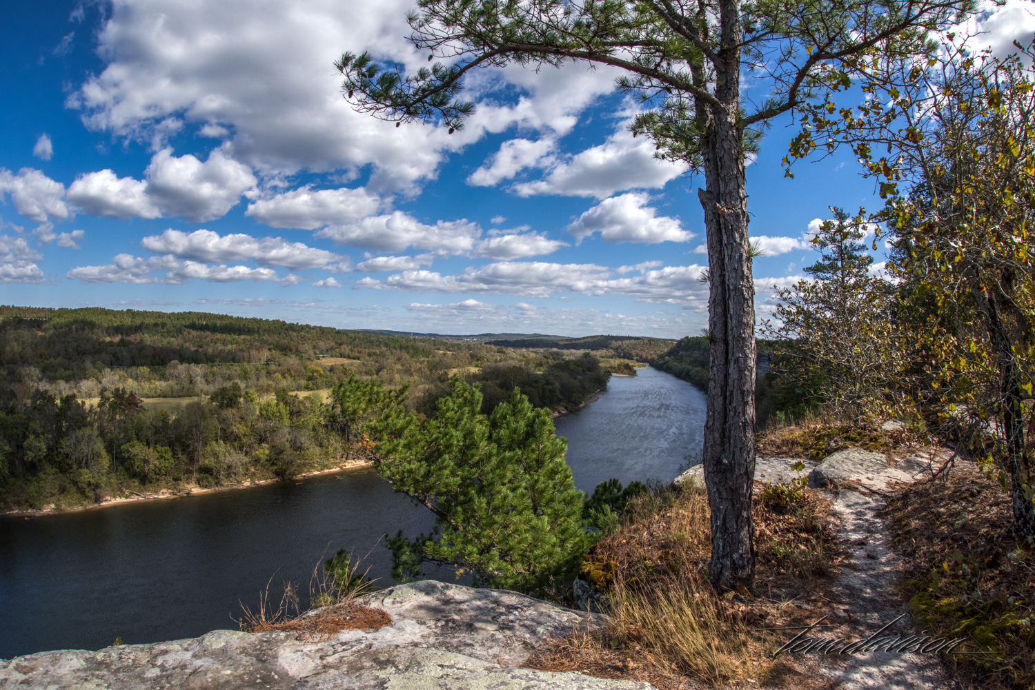
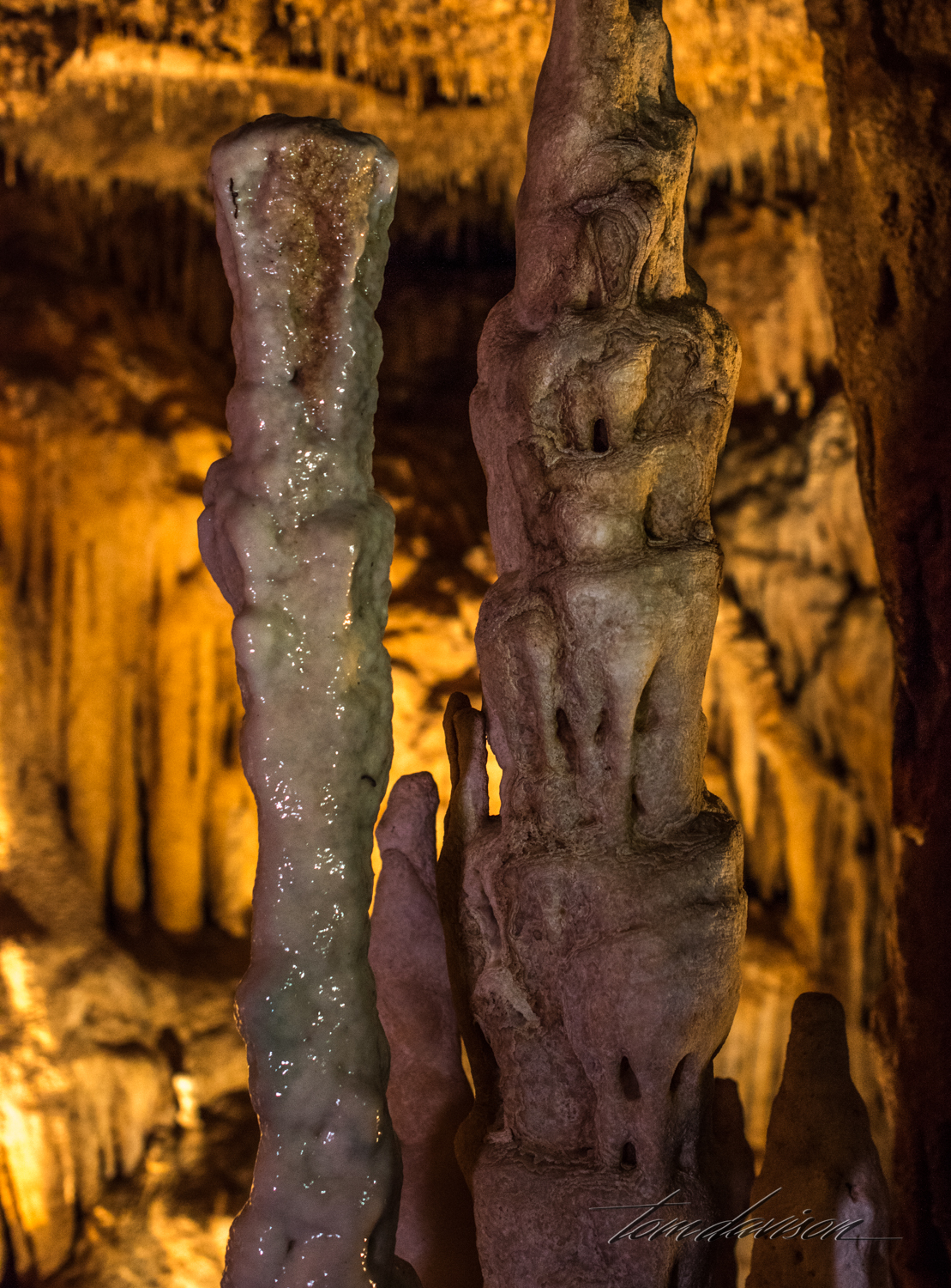
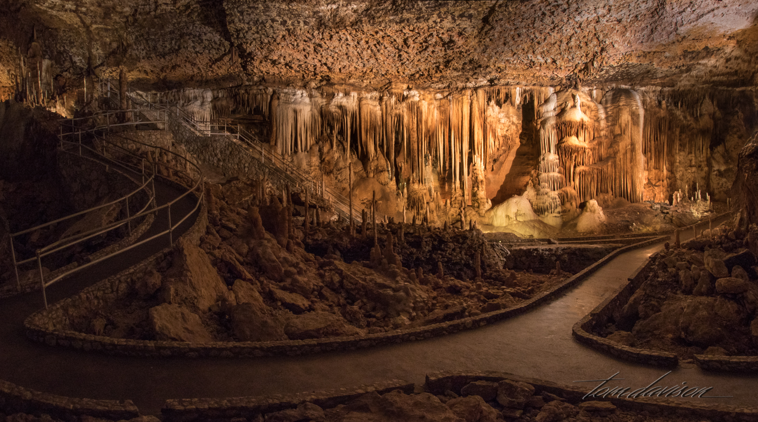
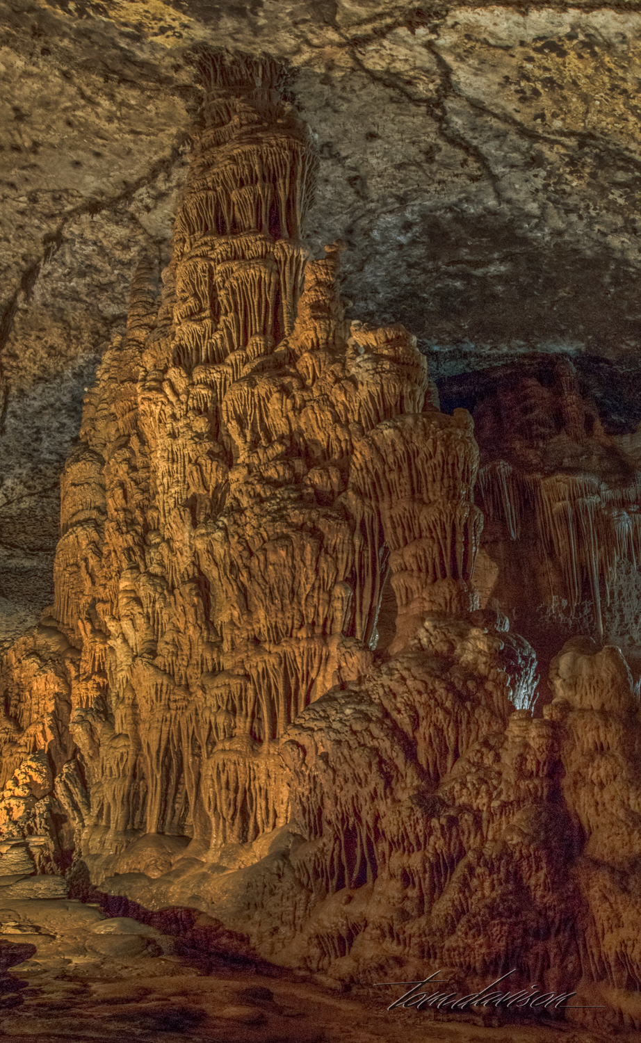
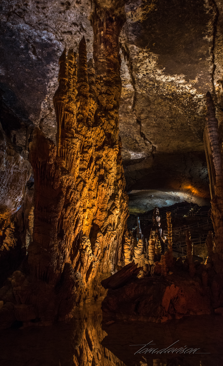
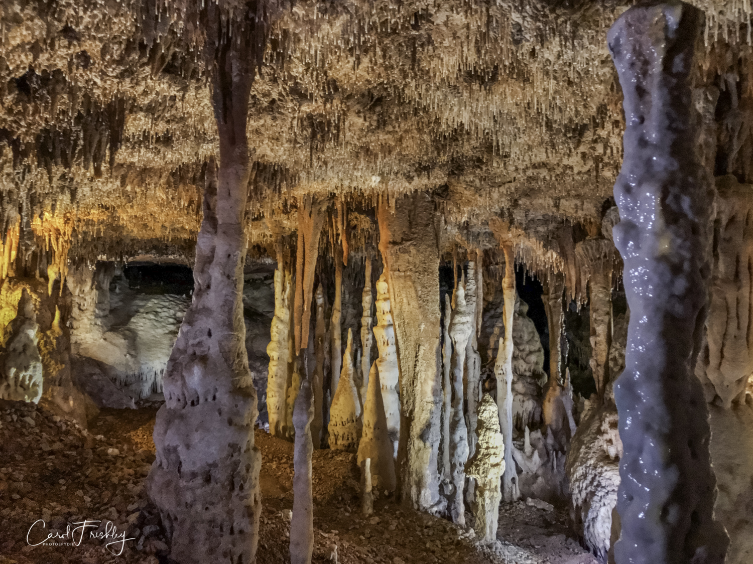
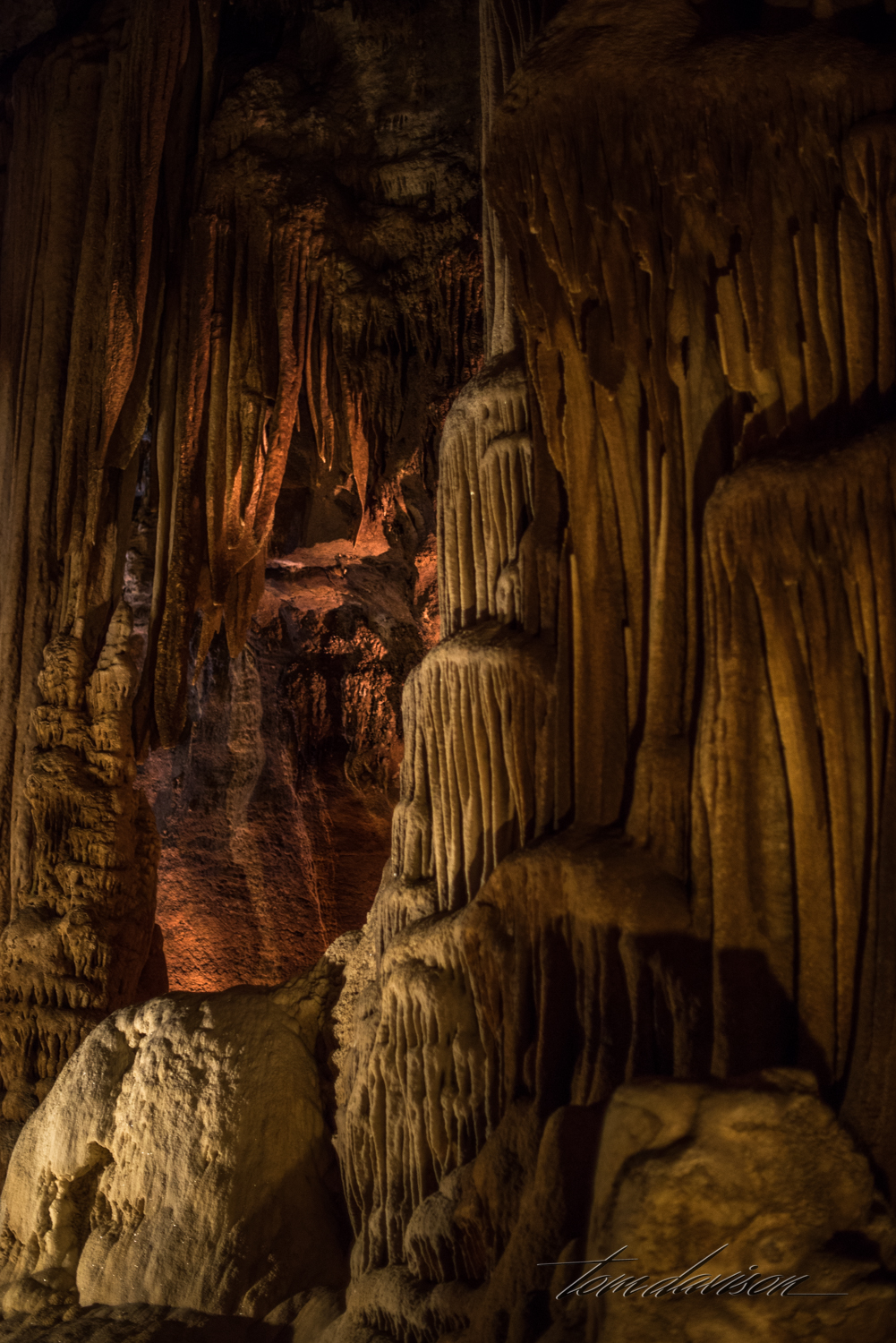
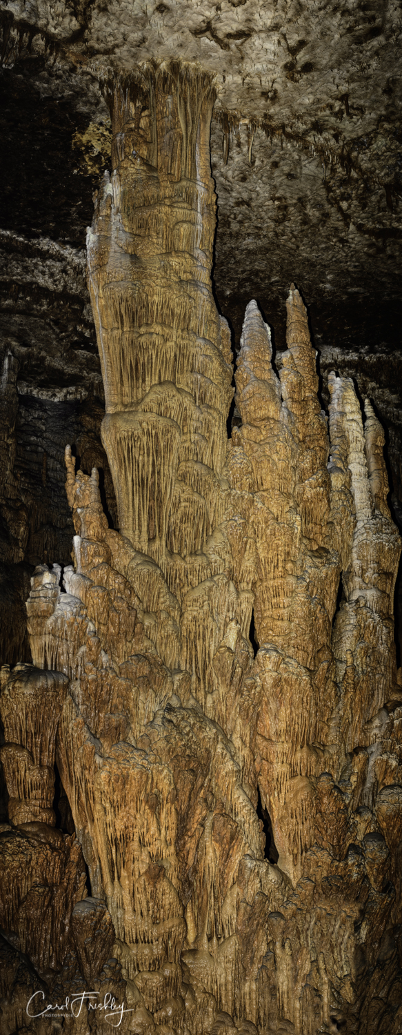
Per Wikipedia: "Blanchard Springs Caverns is a cave system located in the Ozark–St. Francis National Forest in Stone County in northern Arkansas, 2 miles off Highway 14 a short distance north of Mountain View. It is the only tourist cave owned by the United States Forest Service and the only one owned by the Federal government outside the National Park System." We took the Dripstone Tour three times, the last on a 3.5 hour photographer's tour allowing us to use tripods, take our time and request that lights be dimmed. We are so grateful to the staff at Blanchard Springs Visitor Center for their help in making the last tour possible and to Dale, our guide, who patiently kept us 'moving along' and pointing out the special features of the cave he knew photographers yearned to capture.


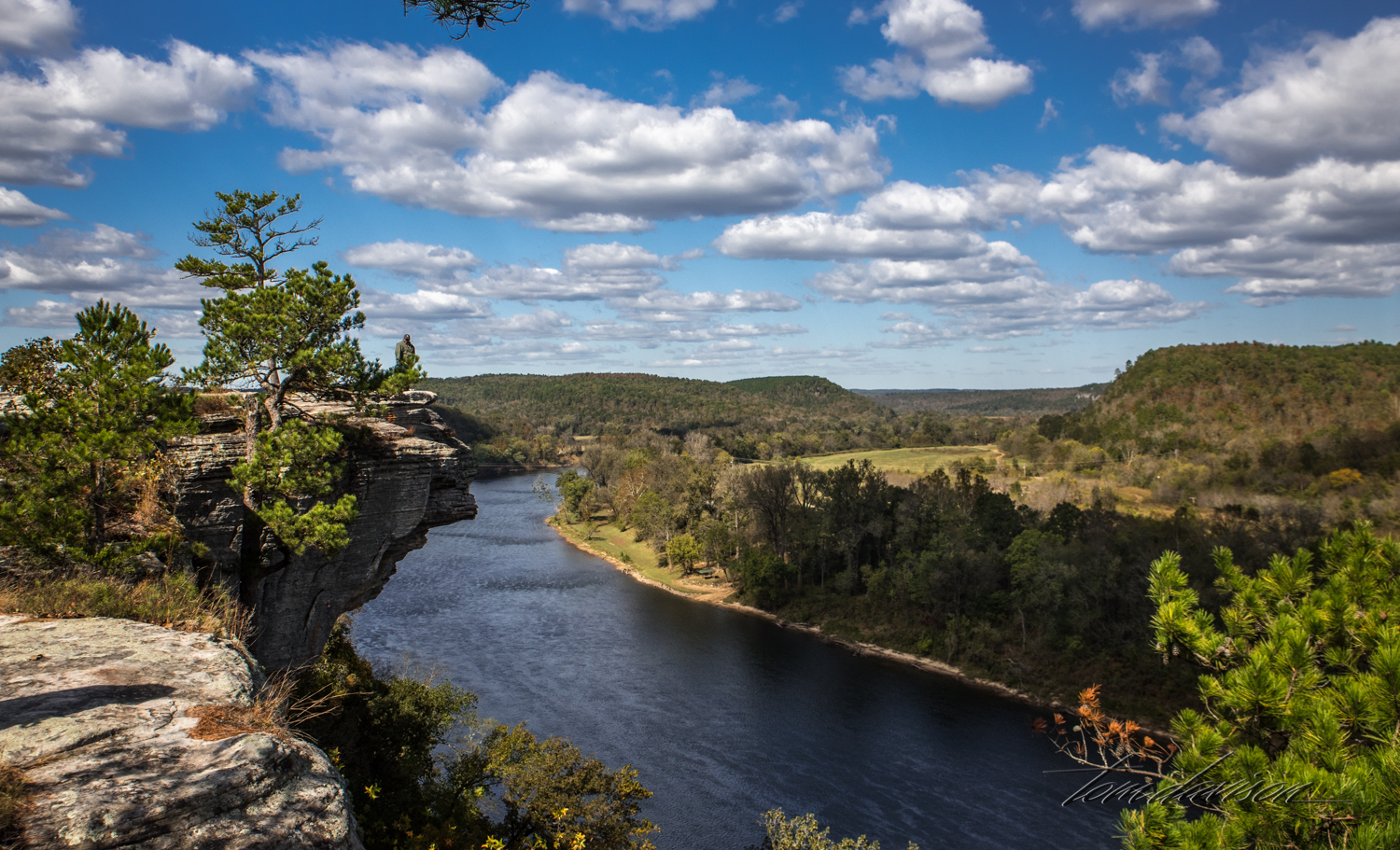
Do you see a boat?