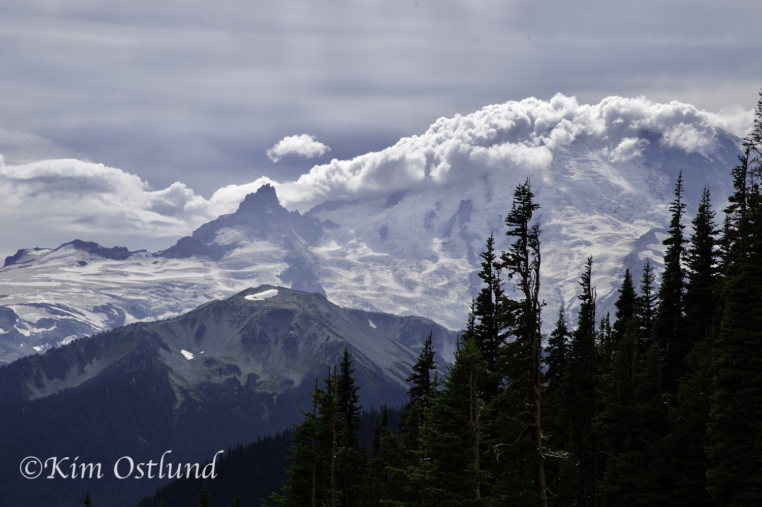
Known as ‘The Mountain’, this imposing stratovolcano is located 59 miles south-southeast of Seattle. With an elevation of 14,411 feet it can easily be seen from everywhere within a hundred miles when the clouds lift from covering it up. It is part of the Cascade Range and the highest mountain in Washington. It is one of the most dangerous volcanoes in the world, due in part to its massive amount of glacial ice which would produce destructive mudflows if it were to erupt.

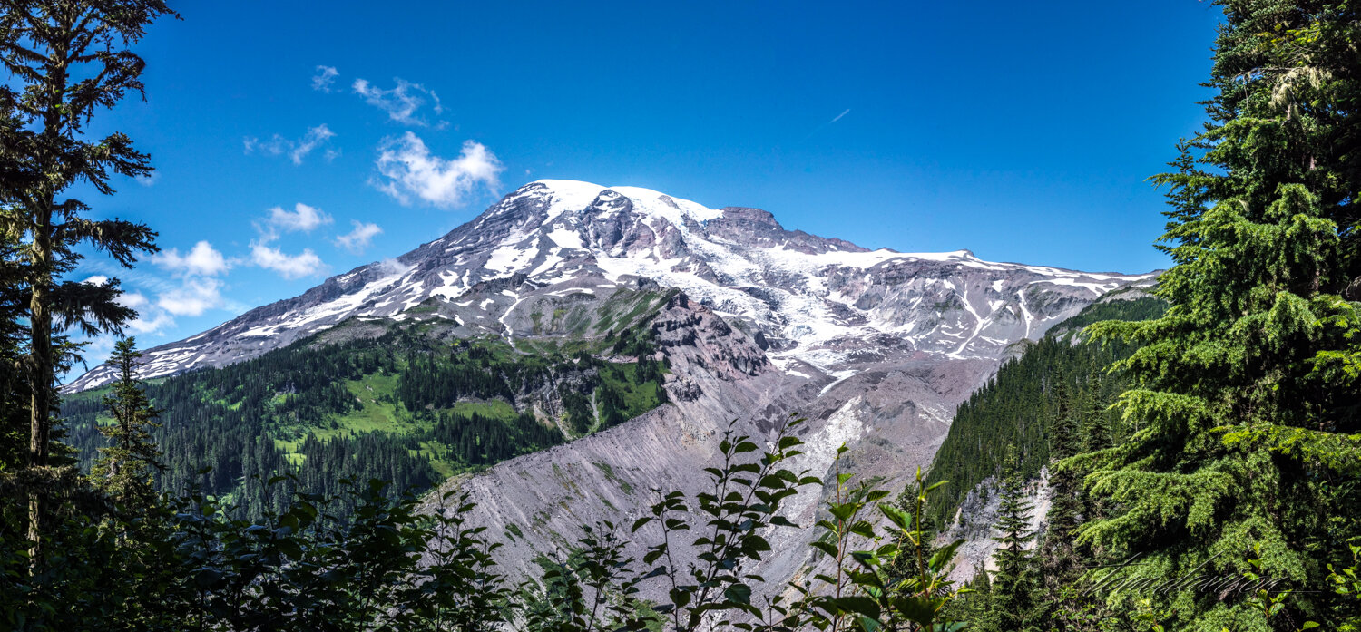
One of the first impressions I got of the ‘Mountain’ was its immense size and overwhelming presence that is visible from just about anywhere from miles away when it is out from behind clouds.


We stayed in a campground where Mt. Rainier could be seen from the road down into our camp.
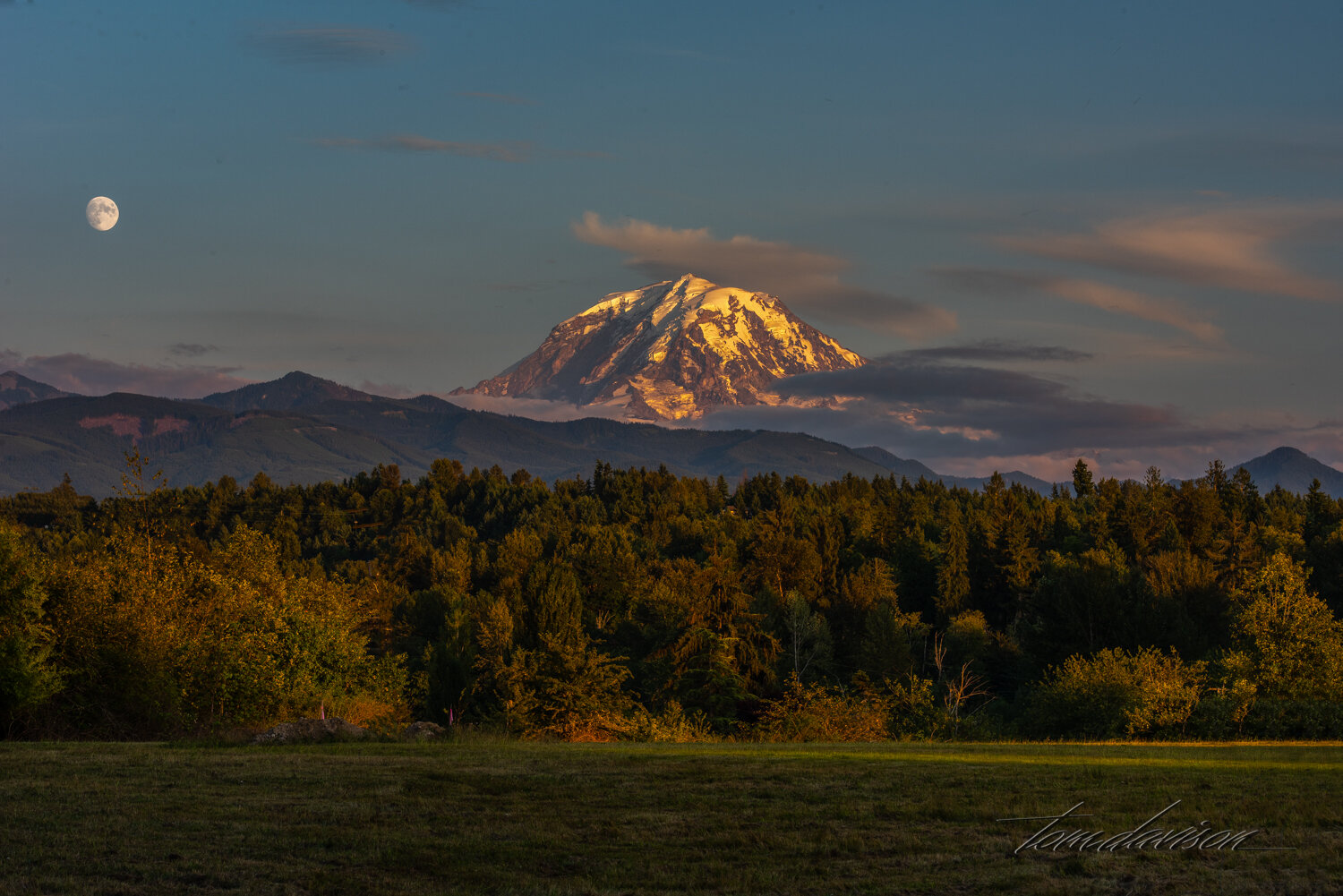

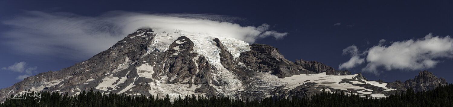
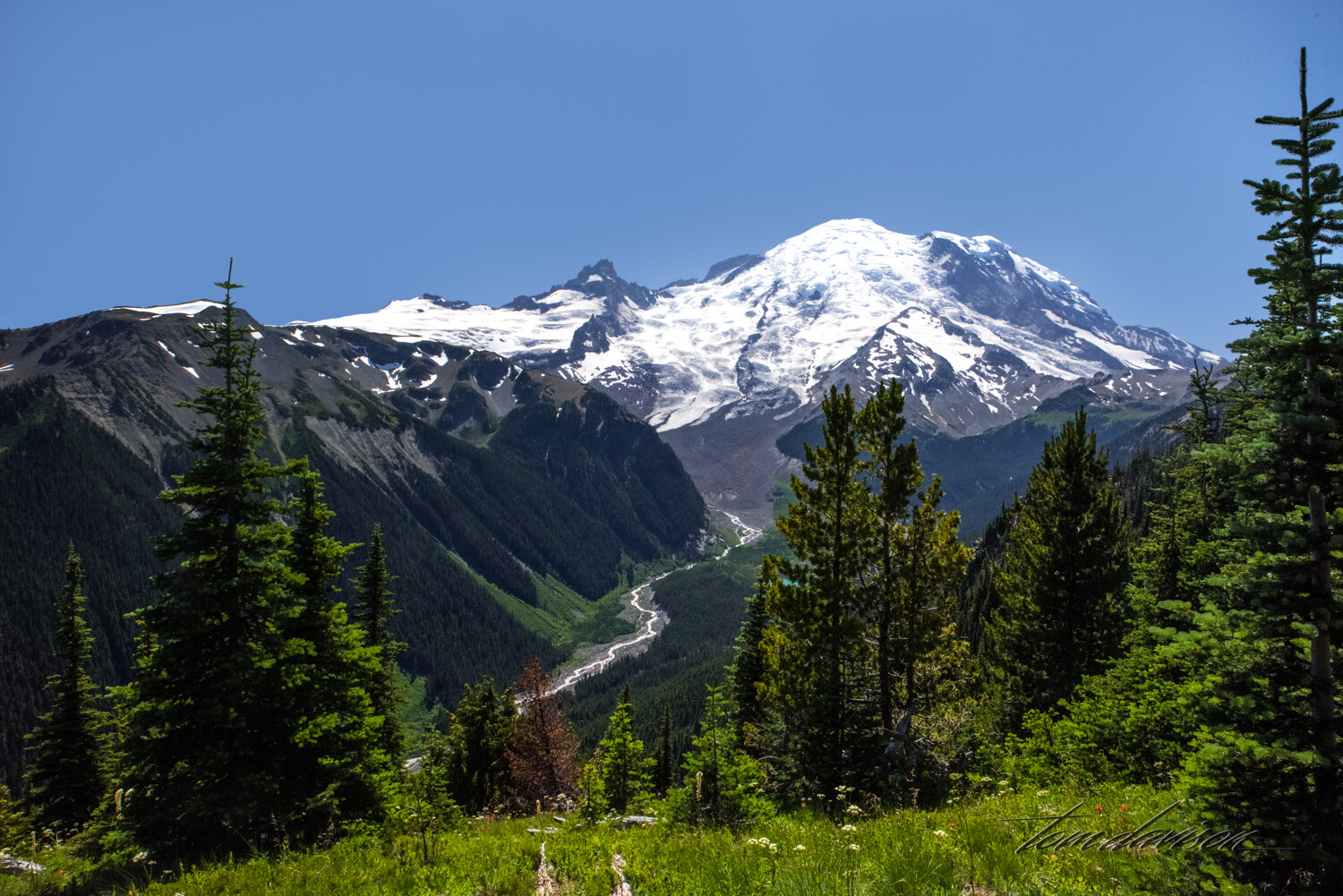
Mountains as large as Mt. Rainier can produce their own weather systems. Seeing a cap on Mt. Rainier was not unusual.


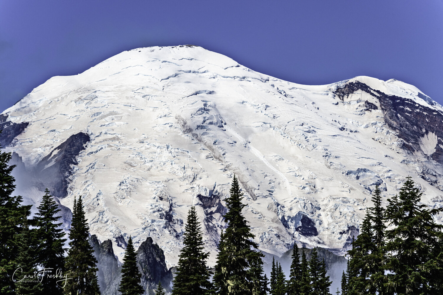
Telephoto capture of glacial ice.

If I recall correctly, this was our first stop on the way to Sunrise, one of two main entrances into the National Park. We were fortunate to have Bob give us a tour of the Sunrise side. He is a fellow Nikonian and an excellent photographer. He lives in the area, knows the mountain very well. He has completed the The Wonderland Trail, a 93 mile hiking trail that circumnavigates the mountain. It goes up and over many ridges so its cumulative elevation gain is 22,000 feet!! Only an estimated 200-250 people complete the trail in any one year and it takes between 10 and 12 days to complete.
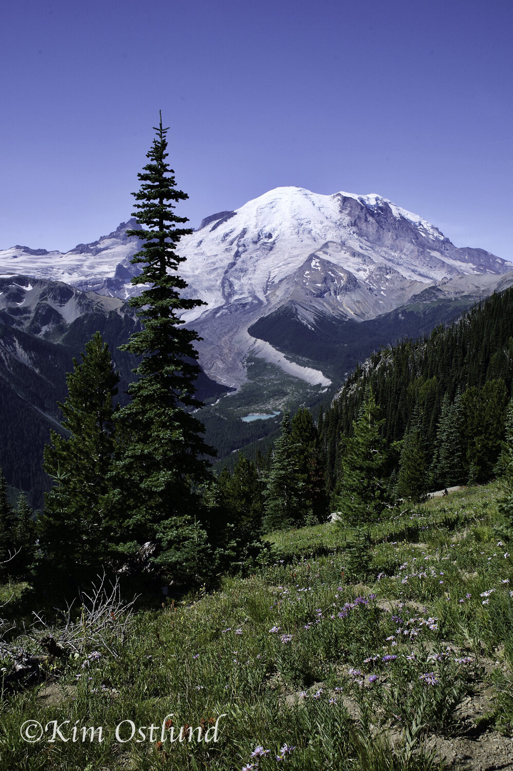
Kim and John Ostlund are Tom’s friends ‘from way back’. They were in the area visiting their daughter and joined us for two days of exploring Mt. Rainier. John is relatively new to photography and Kim was happy with just using her phone . . . . until I loaned her my Nikon Df and a decent walk around lens.
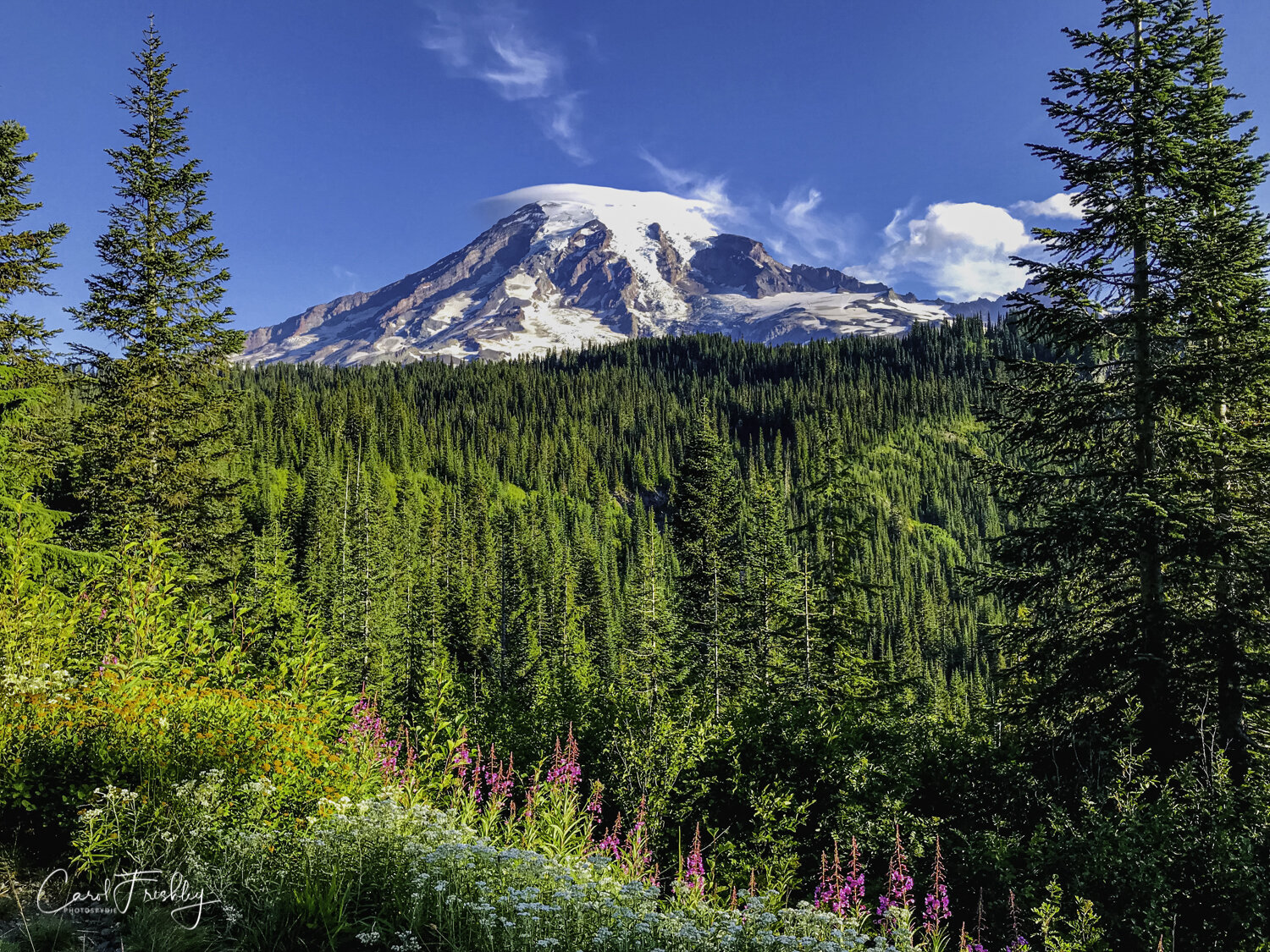
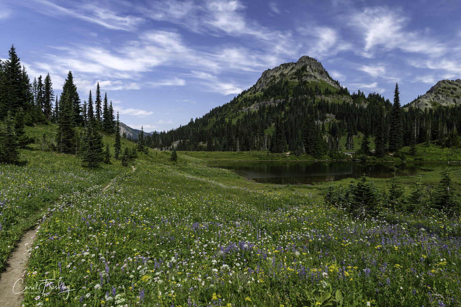
The wildflowers were abundant everywhere, but extra special with the mountain in the background.

Tipsoo Lake is one of the most popular stops to capture The Mountain. Bob knew exactly where to take us for a wide view scene.
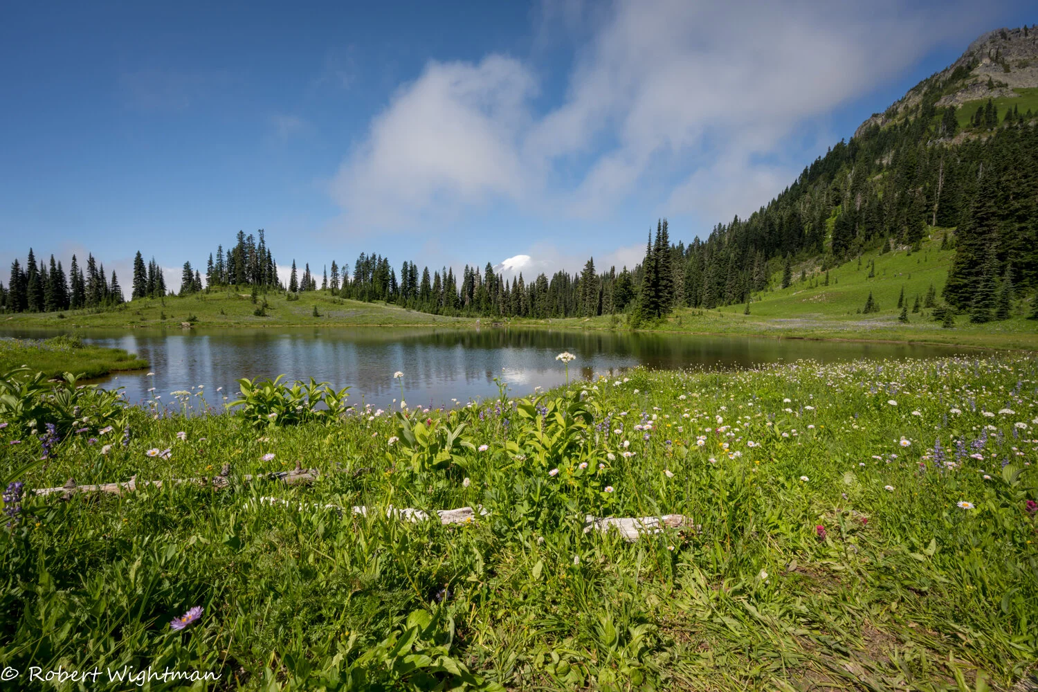
Getting low still affords a peek at that mountain!

I’ll just bet that there are the same blue lupines up in the valleys on the sides of the mountain!

Every day seems to have a different mood. One morning its fog, another one brings sunshine.


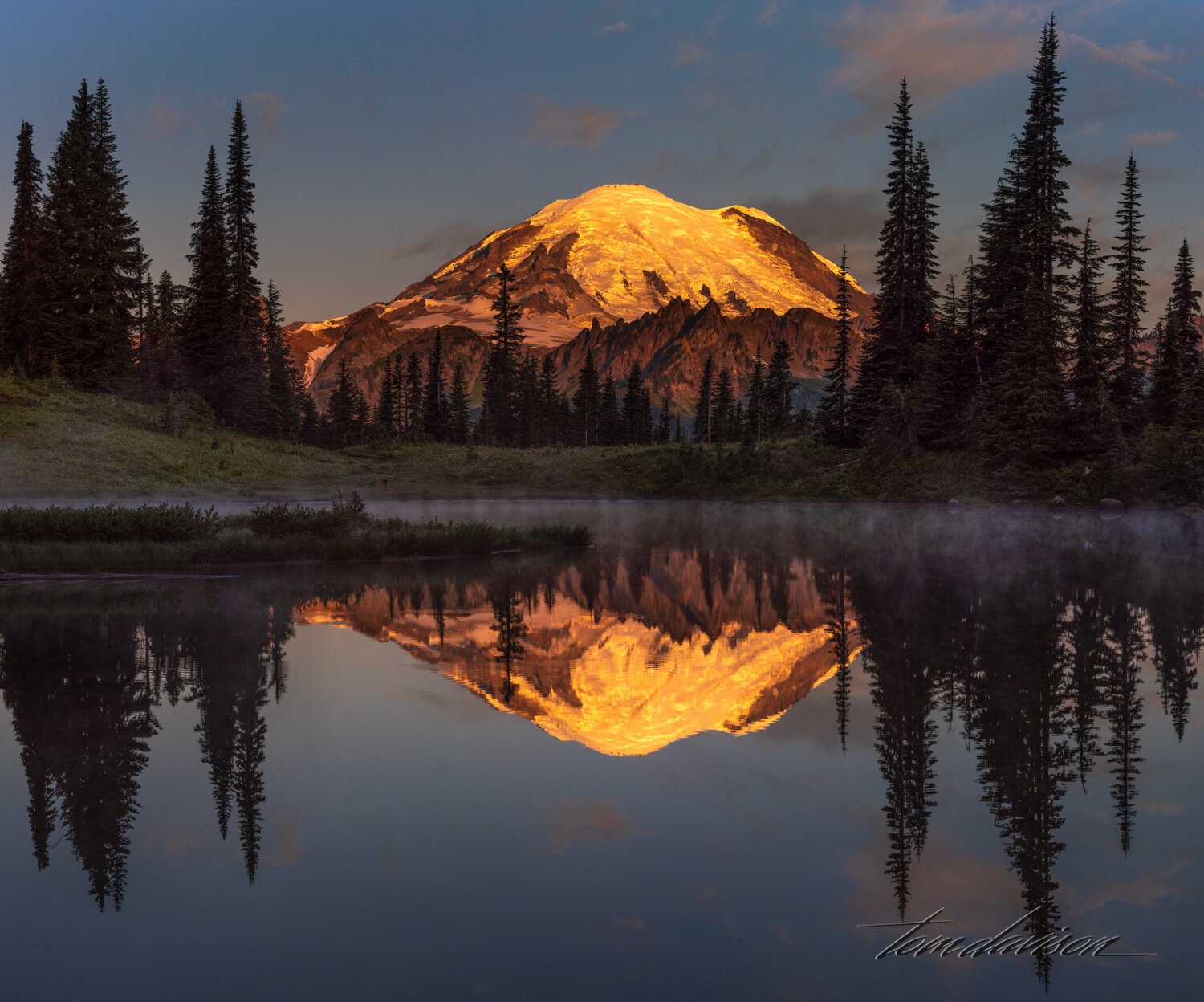
Sunrise at Tipsoo Lake.


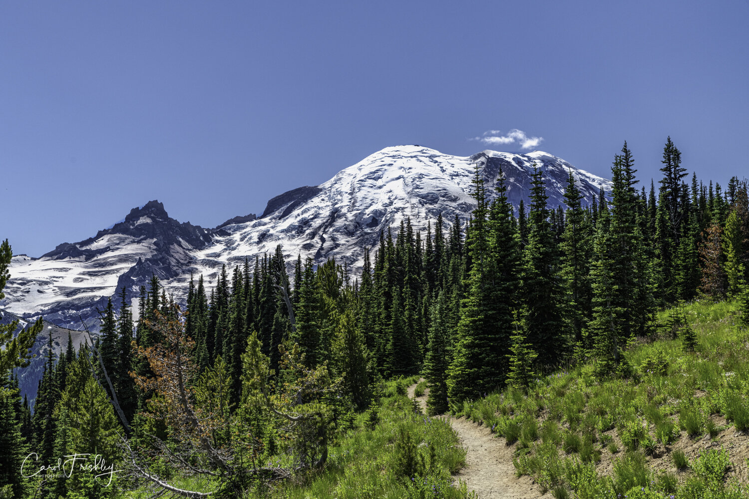
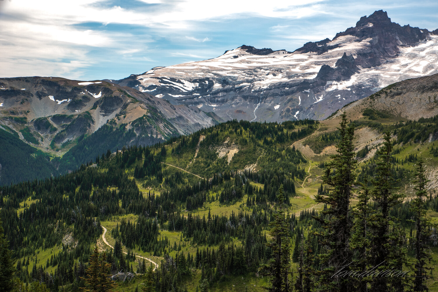
There are lots of hiking trails, some with overnight camping destinations.


Wildflowers everywhere!!!


Sunrise at Little Tipsoo Lake (pond). It is just across the street from Tipsoo Lake.


We were encouraged to take the gandola at Crystal Mountain to get a different view of Mt. Rainier. Ride, food and photography were all memorable.


From the top of Crystal Mountain.

Of course, a mountain and some water always invite . . . This is Reflection Lake and it is located closer to the Paradise entrance. We were there several times but only once did we find the water to be still enough for a reflection.

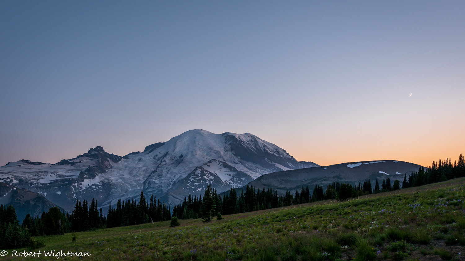
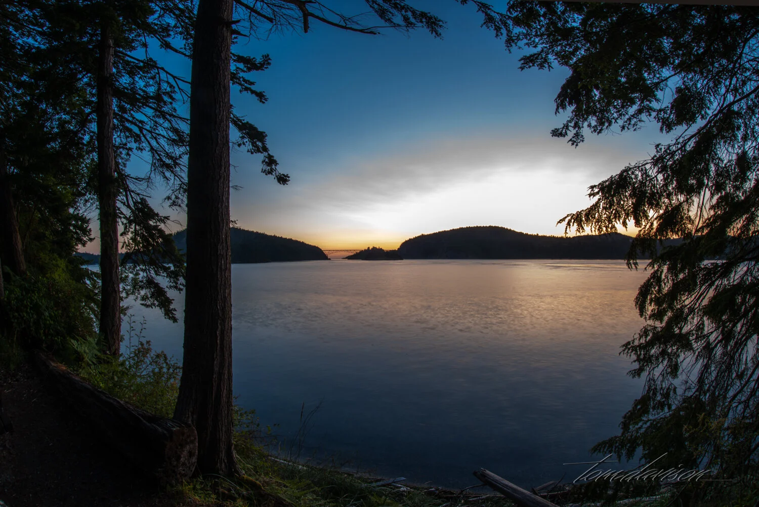
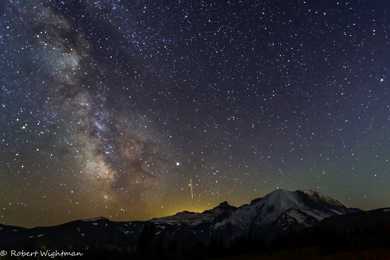
Bob and I really wanted to capture the Milky Way from Sourdough Trail. Tom kindly came along. This is a blue hour photograph from our selected spot to wait, fuss about gear, wait, wait. One thing to note about this trail, though, there is heavy traffic from hikers coming down AND going up the mountain!! They use headlights, of course, and that can be disruptive to Milky Way photography.

Bob got the best photograph, by a long shot. One day I will go back.
Thank you Bob!!

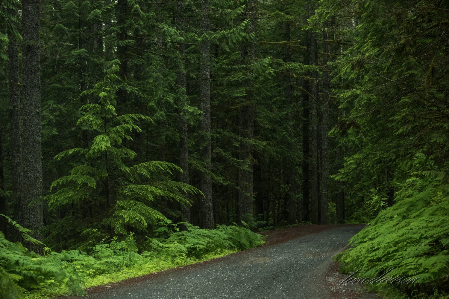
We end with the road shots.


A special thanks to our contributing photographers, Bob, John and Kim.