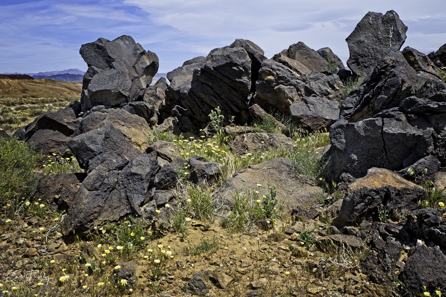
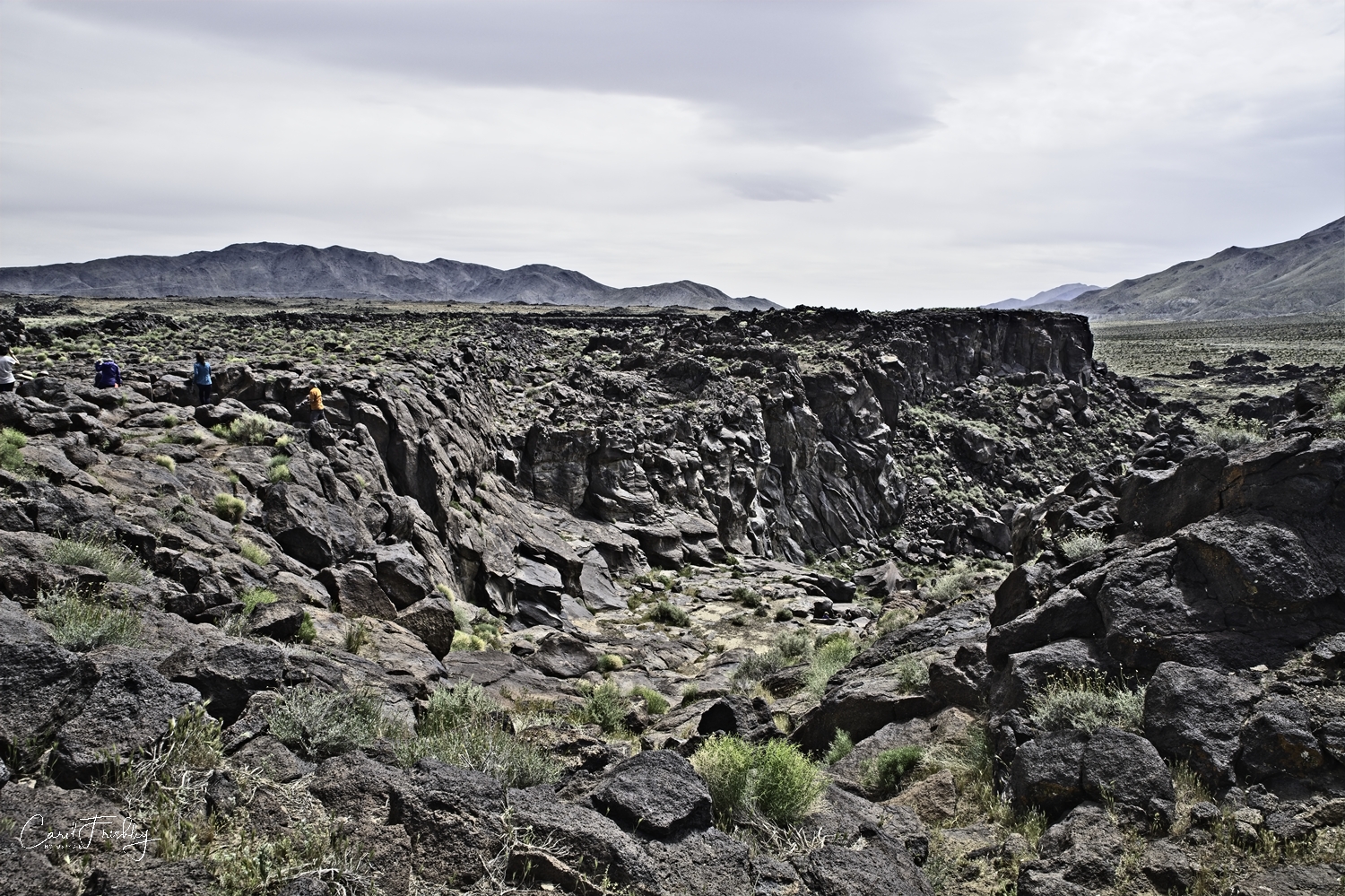
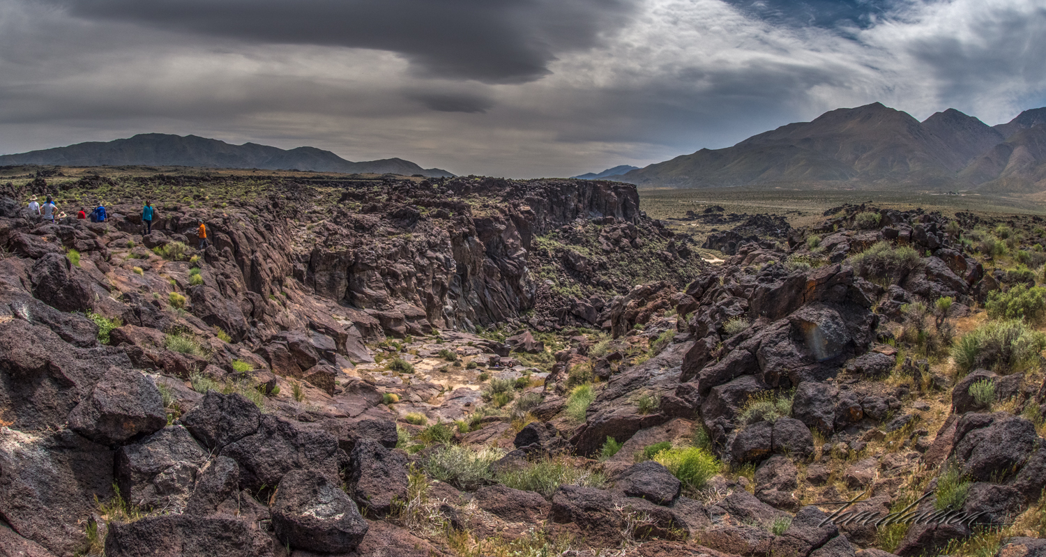
What an interesting name! Surely must be checked out. The falls are located in a rugged landscape west of the Coso Mountain Range and easily accessed from Highway 395. About 440,000 years ago there was an active chain of small volcanoes that erupted many times, inundating the area with slow moving basalt lava flows. During the last ice age the Sierra Nevada mountains to the west were covered with ice. During that time large lakes formed in the basins between the Sierras and what is now called Death Valley. The Owens River flowed out of Owens Lake. Volcanic eruptions from the Coso Mountains changed the river's course numerous times. Fossil Falls was formed when the Owens River was damned by an eruption and the river then ran over the basalt, polishing and sculpting the rock into very interesting geologic features.
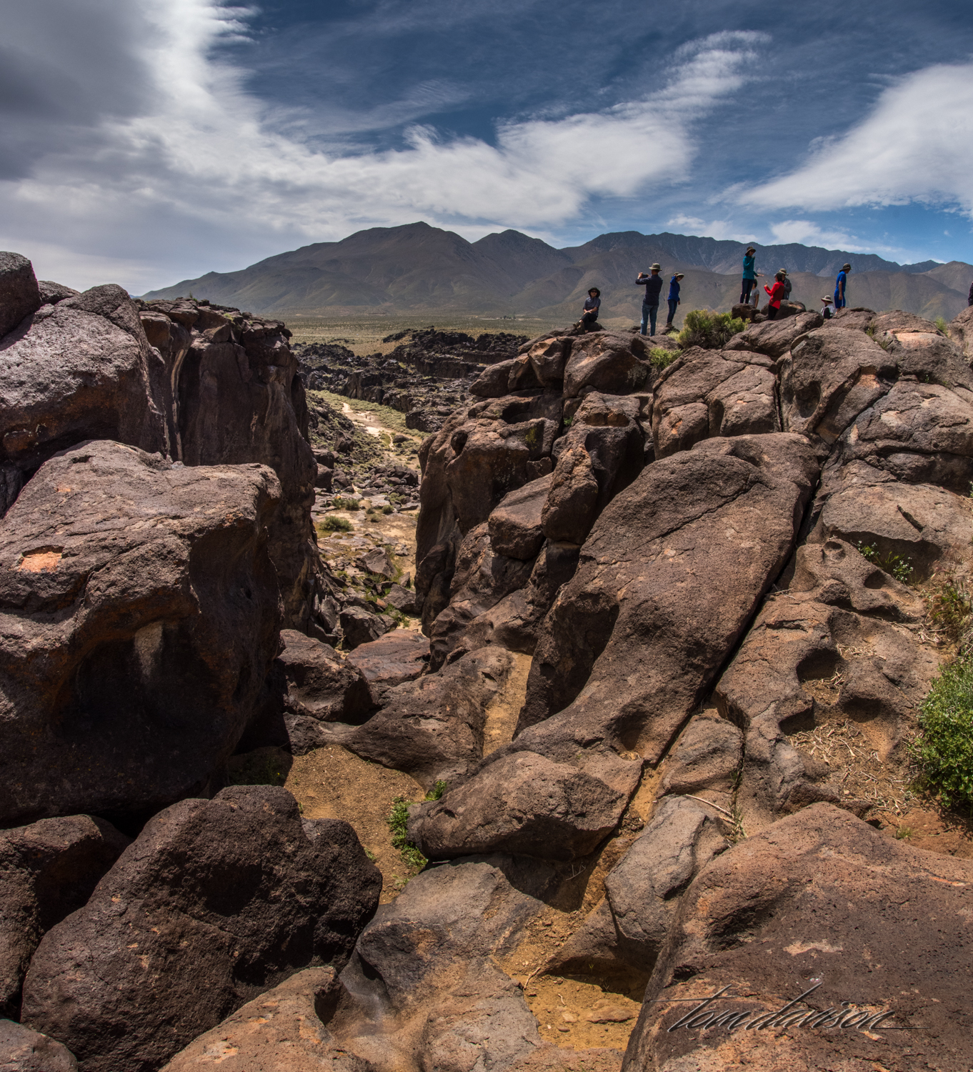
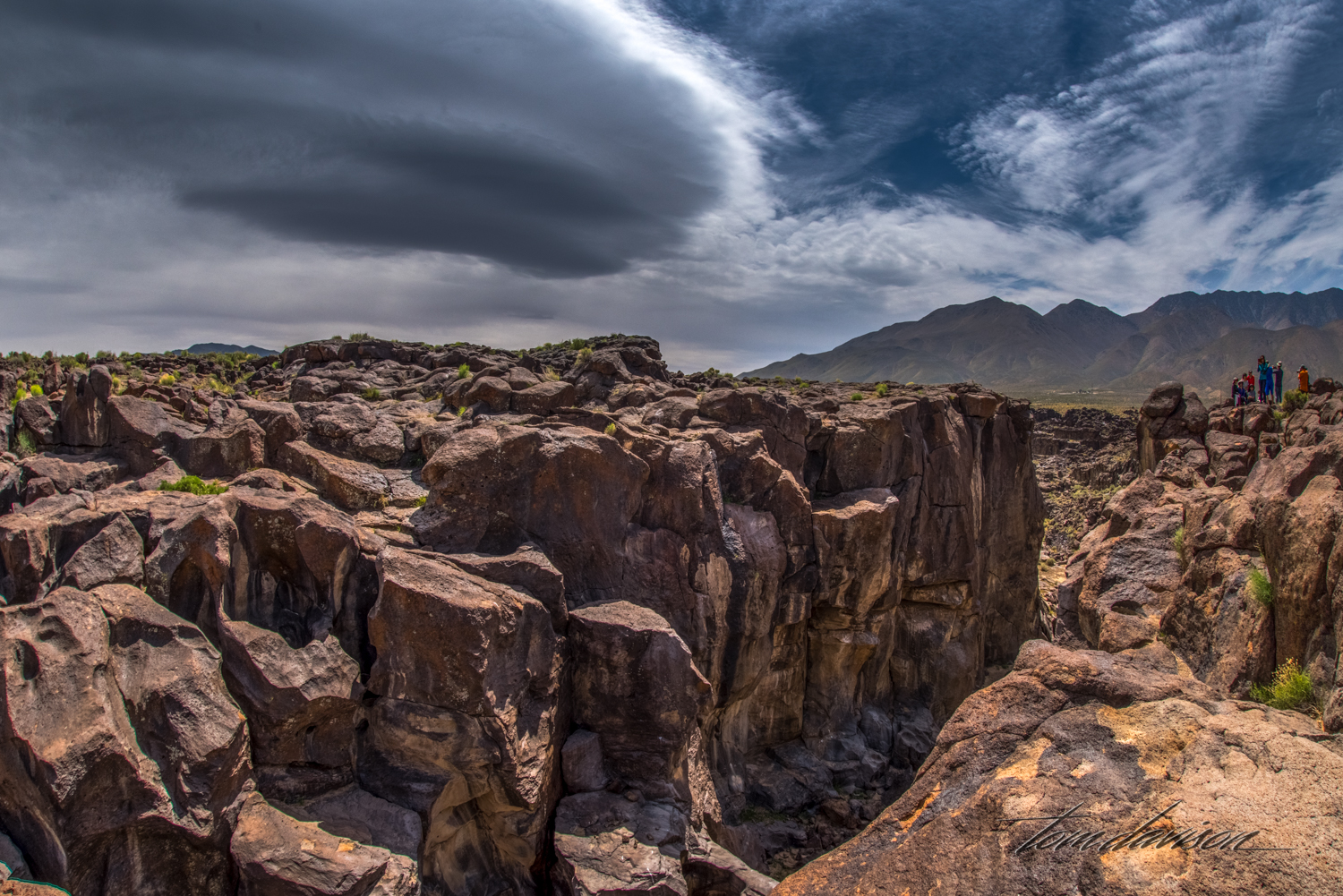
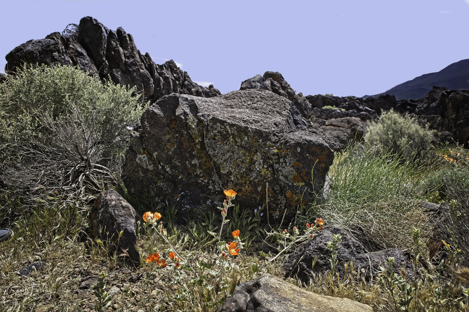
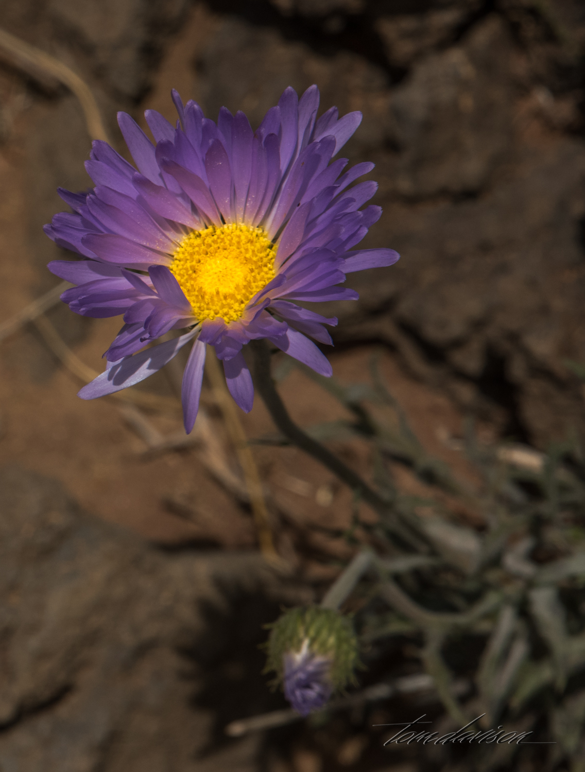
Water no longer flows over the rocks. The short 0.4 mile hike is relatively easy and contains numerous interesting lava rock mounds which, on the day of our visit, were surrounded by some flowers. You can hike back up the stream bed (some distance) and walk in on the floor of the falls. I passed on that opportunity having already met my hiking quota for the week!
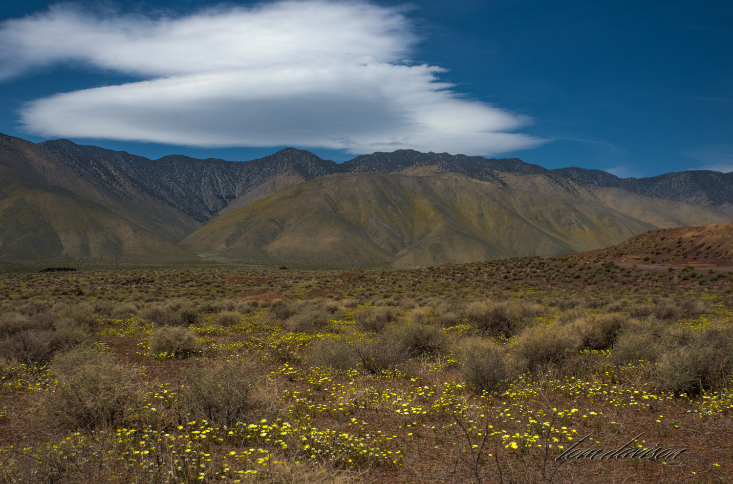
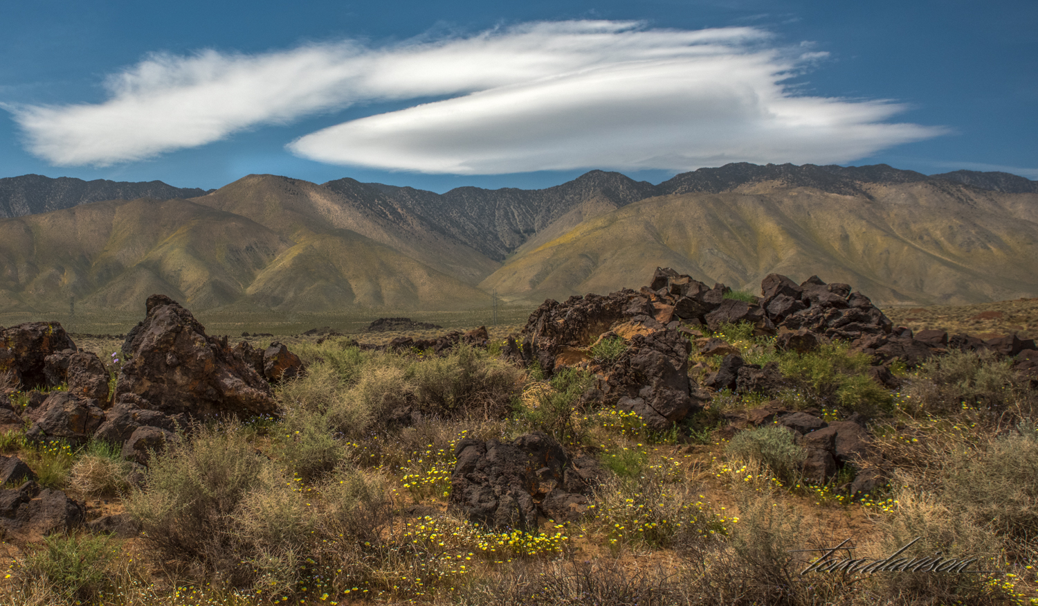
The mountains across the valley have large fields of yellow flowers.
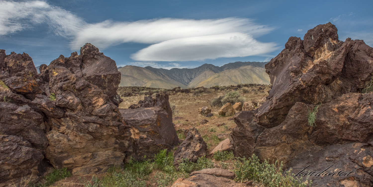
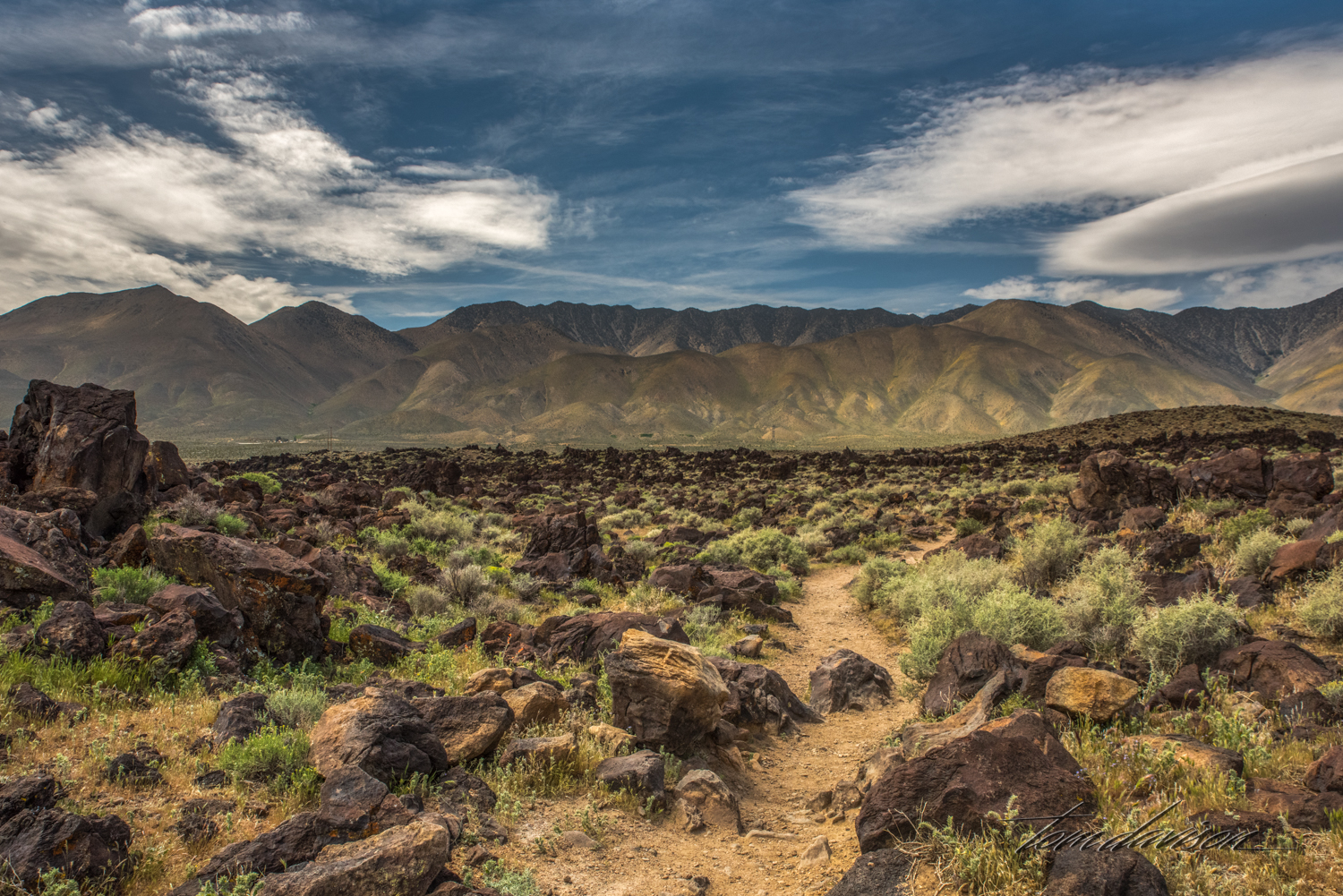
The path leading back to the dry Fossil Falls.

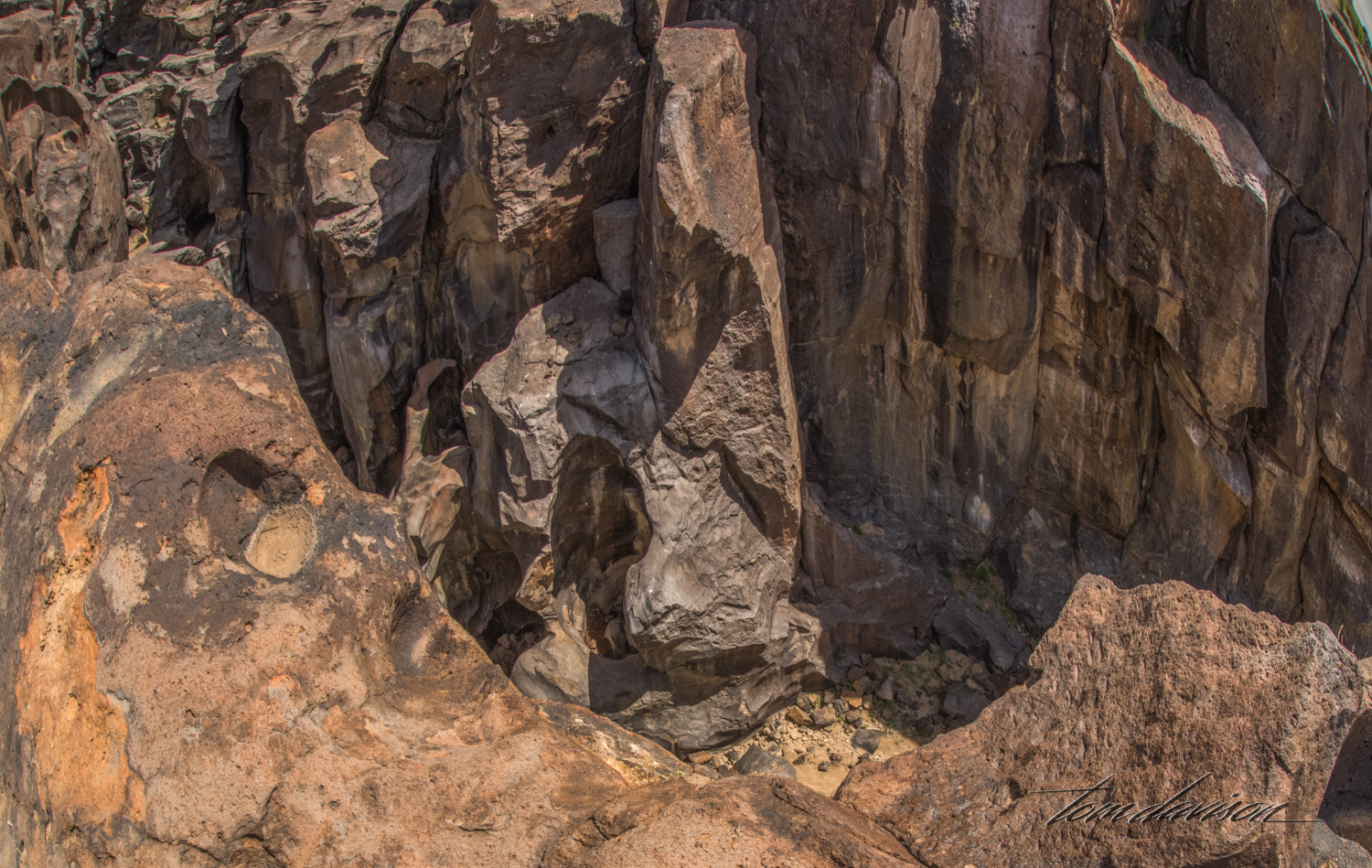
One can only imagine the roaring sound the waterfall must have made as it fell over these rocks.

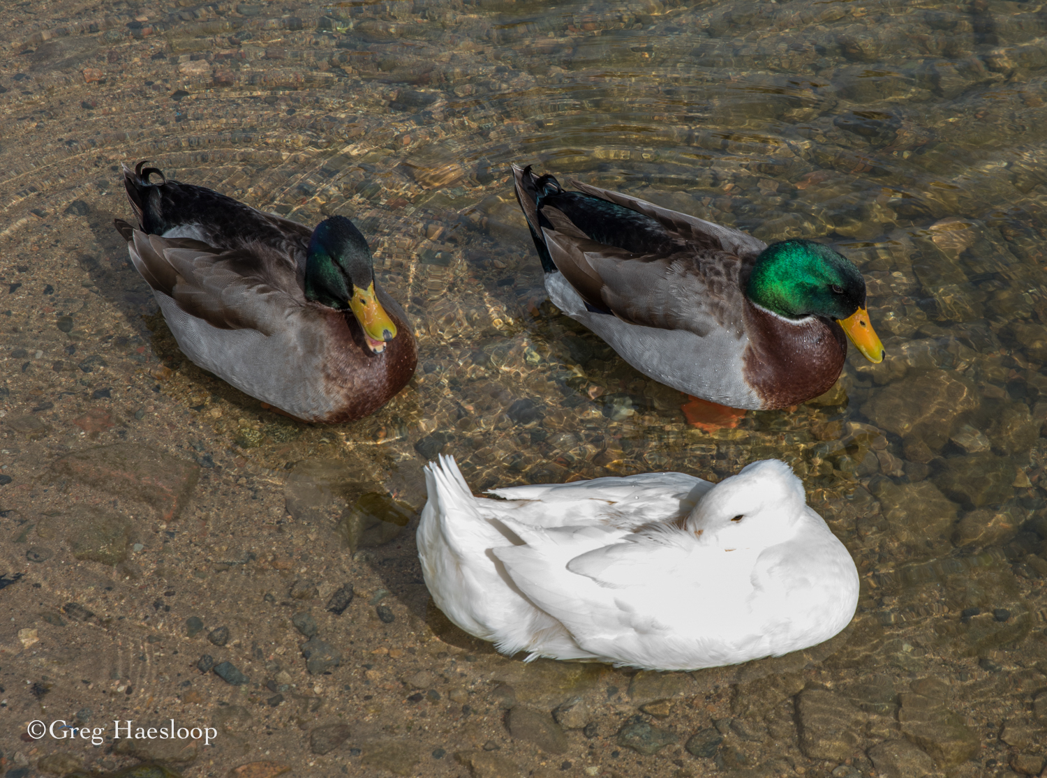
For Karen.
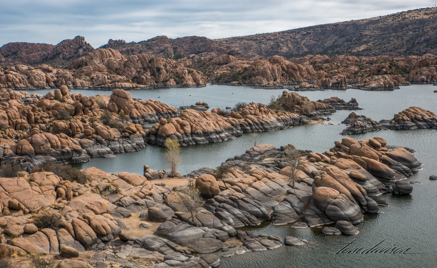
For Cory.