Blanchard Springs is part of the St. Francis National Forest which is combined with the Ozark National Forest in Arkansas (I know, confusing). It is located about 18 miles from where we are camped. Blanchard Springs is small as springs go, but it feeds a whole ecosystem including Mirror Lake, Mill Creek and the caverns.

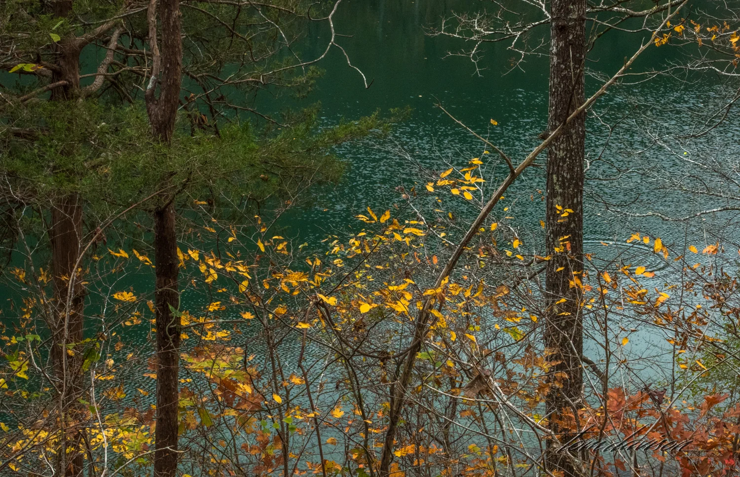
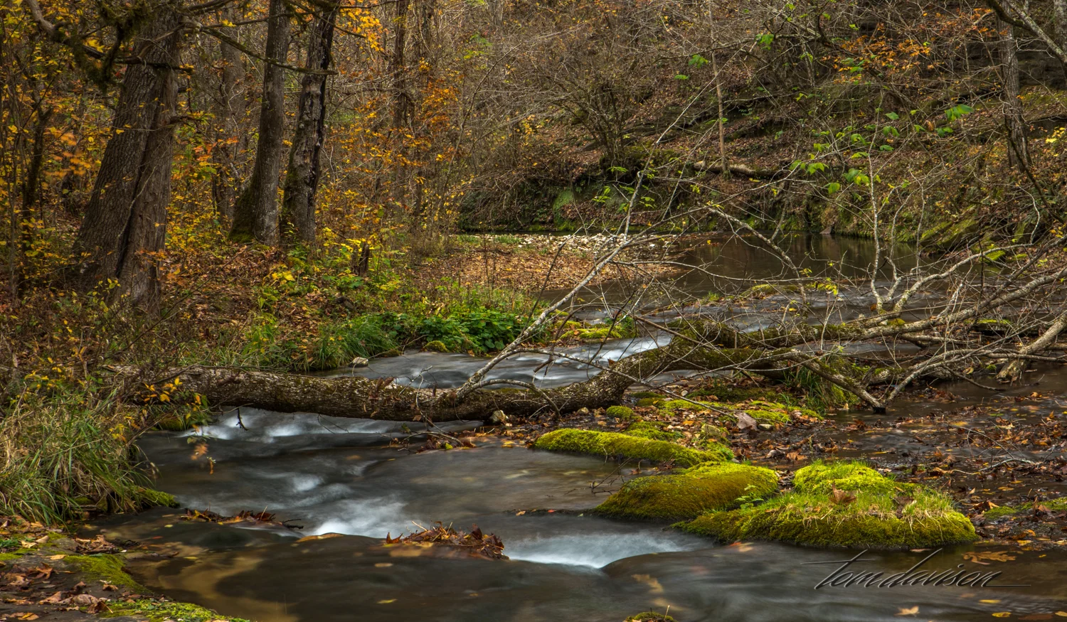
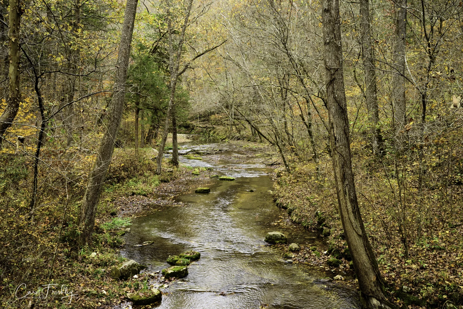
Off to the side of the road there are a few spaces to park and just a very short walk down some stairs you can gaze upon this wonderful lake. This image is from our first stop, early in October. Along the right edge is a walkway and it is common to see people fishing for trout. At the end of this lake is Mill Creek that flows directly from Blanchard Spring.
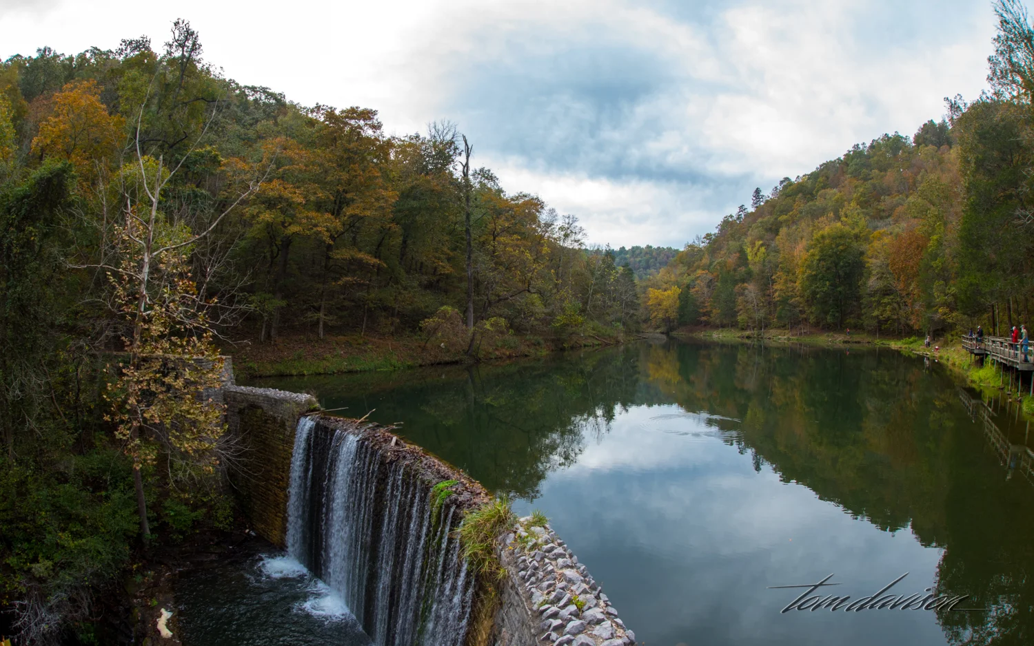
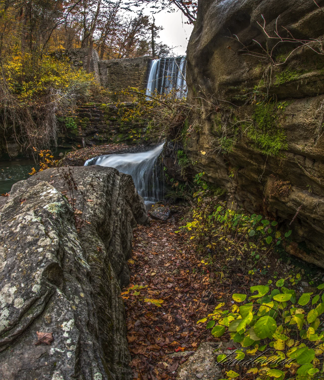
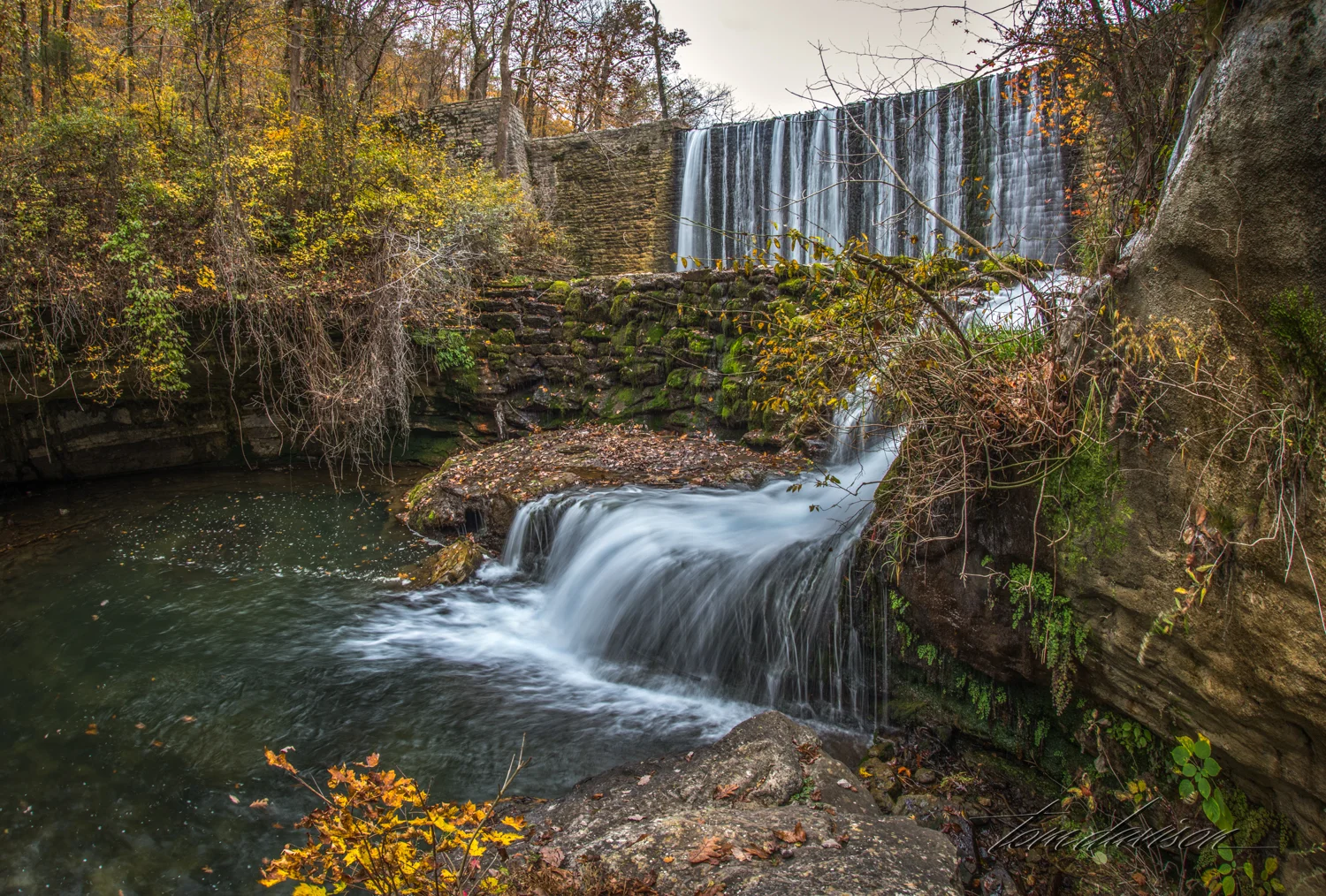
This dam is like many in the area. Made of stone and probably either rebuilt or raised in height by the CCC.
We mostly saw 'catch and release' going on!


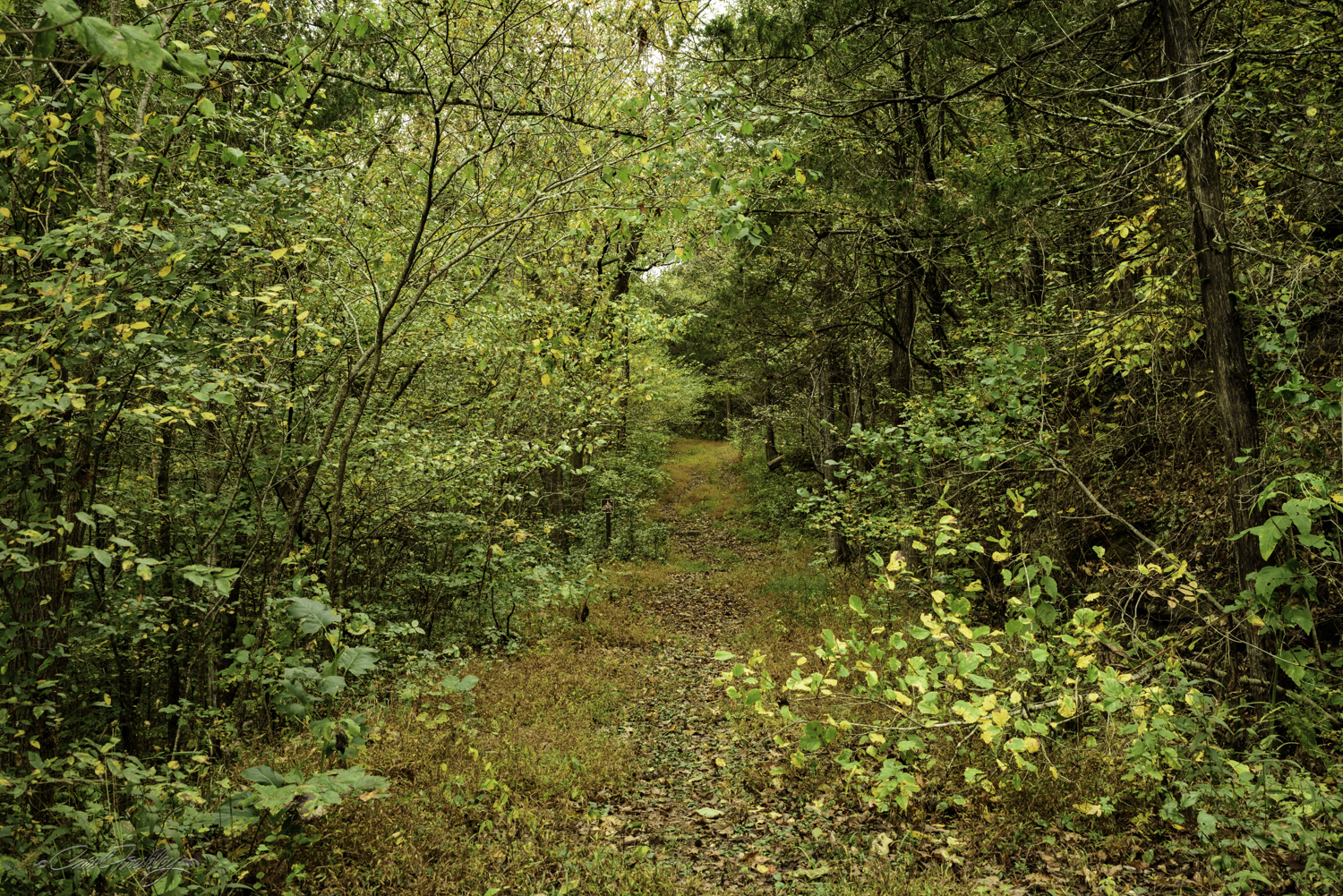
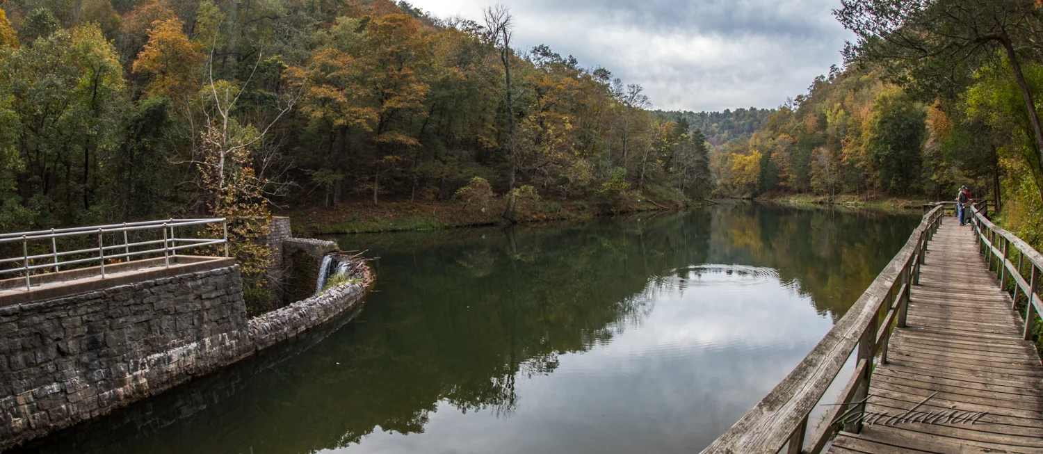
When we returned the second time to check the lake, the access road was closed! The kind ranger suggested taking the boardwalk to the lake and then the road beyond that to get to the spring. "It is just under a half mile (one way)." OK! We can do that. Once again our 'challenge' was actually making progress down the boardwalk and not stopping every three feet to get 'just one more picture'!

One month can make a difference. As usual, the sky was darkly overcast.


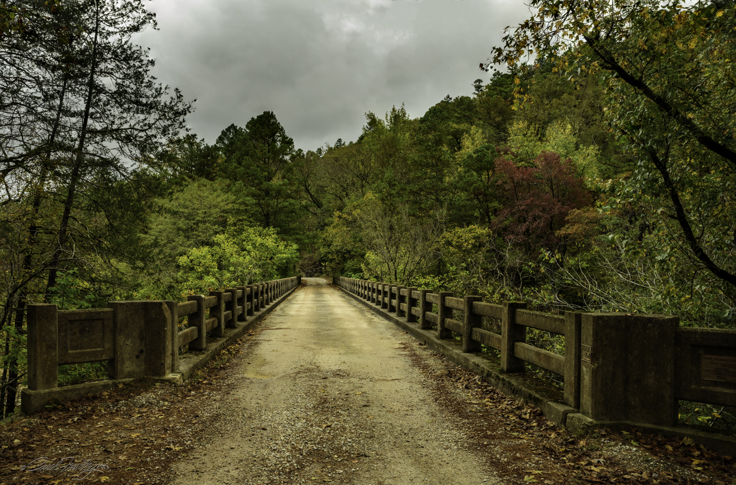
So, down the road I go! Can't feel too sorry for me having such a gorgeous road all to myself!

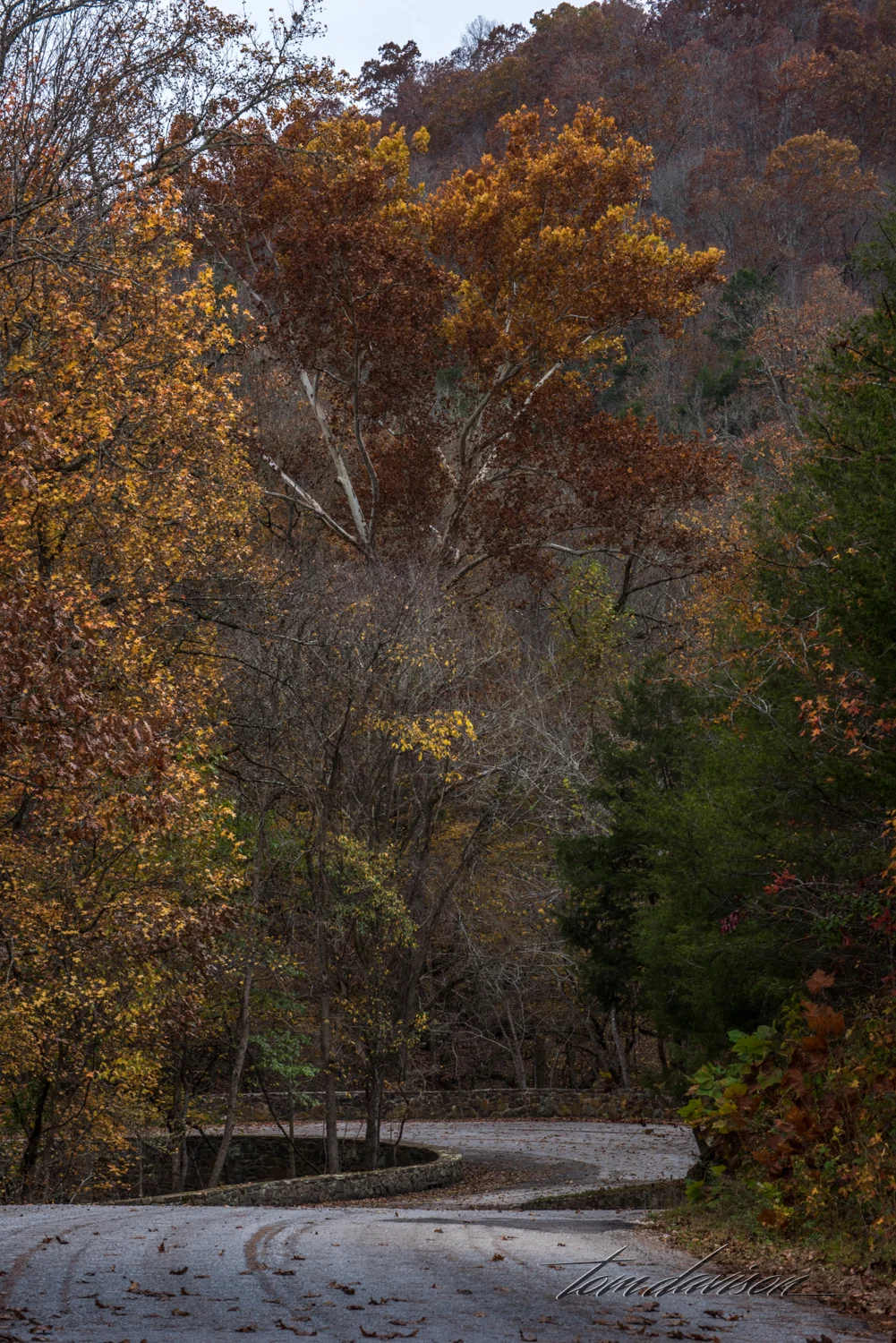
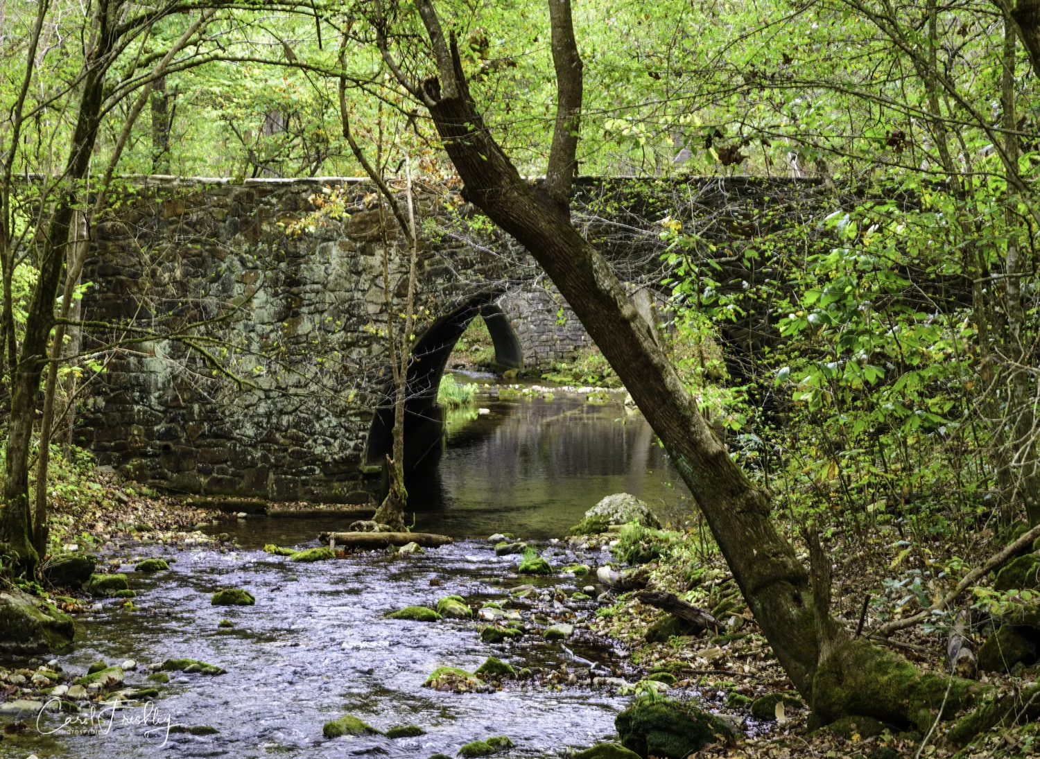
At the end of the road there is a circle to allow turn-arounds. Two stone bridges!!! Just beyond this point one starts the last bit of hiking along Mill Creek back to Blanchard Spring.


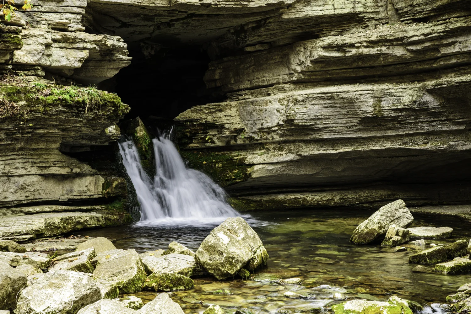
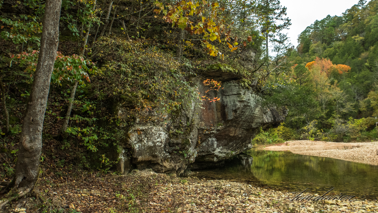
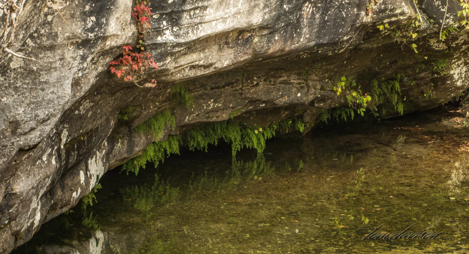
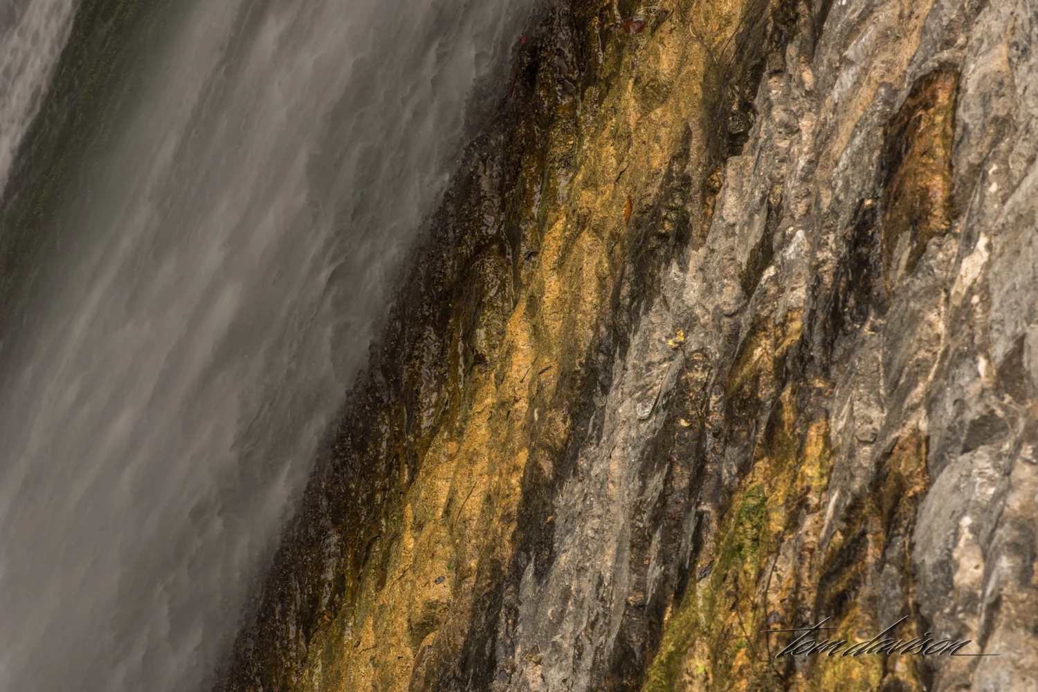
Blanchard Springs. The water just pours out of the side of the mountain. The water is very clear and cool. But, the signs tell folks that the spring comes from an area inhabited by bats and thus, while pretty the water is unsafe to drink or swim in.

There are no fences or railings to keep people from getting close to the spring, just a simple sign to stay out of the spring. We found that parks around here post signs telling visitors that to preserve the natural beauty there are no protective railings, fences or other barriers put in place. So, parents . . . keep your children safe by monitoring their behavior and use good judgement as you navigate dangerous areas! Wow! I have not seen any graffiti and very little trash in any of the parks.

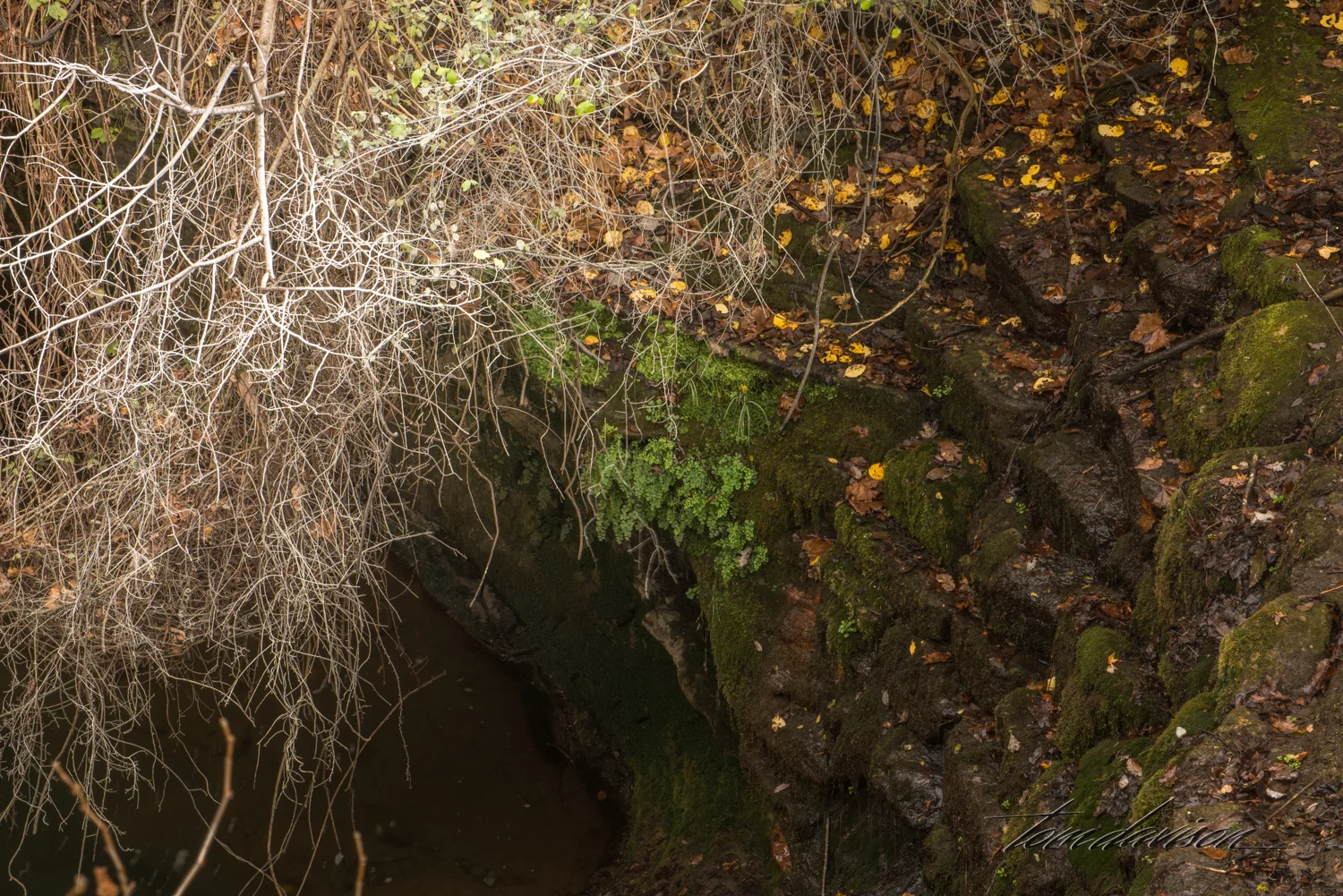
Mill Creek was named after a grist mill located just below the dam that is pictured above.

Back to the car. Along this path you can look down below to the creek and the stone wall remains of the old grist mill. But we could not see a way down to the ruin and the creek short of bushwacking. Then, we spotted a couple right down there taking photographs!!! "How did you get down there?" The nice lady told us to go on to the parking lot and we would see a path, probably right in front of where we parked. Well, you know what we did next!


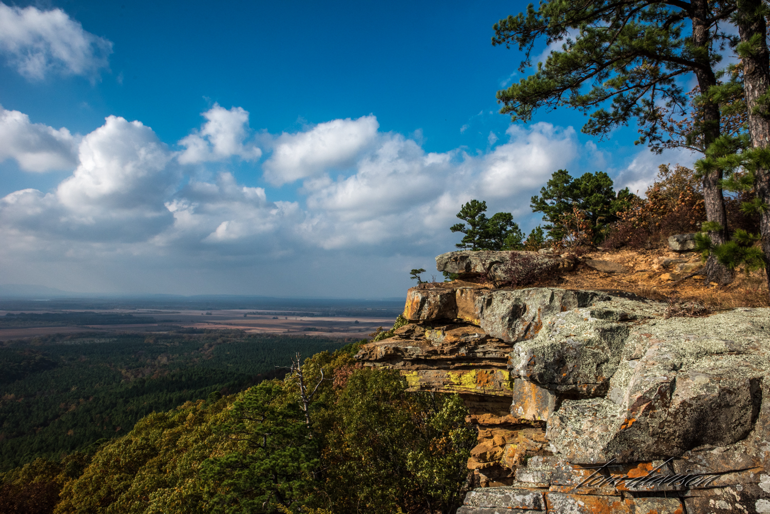
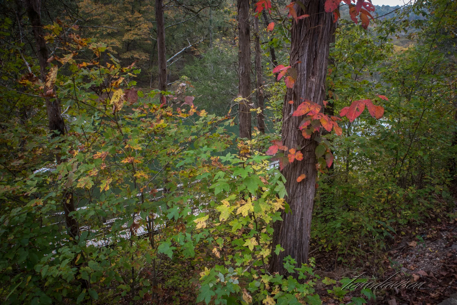
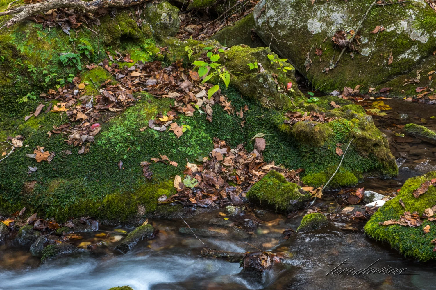
Tom's take on the scene.

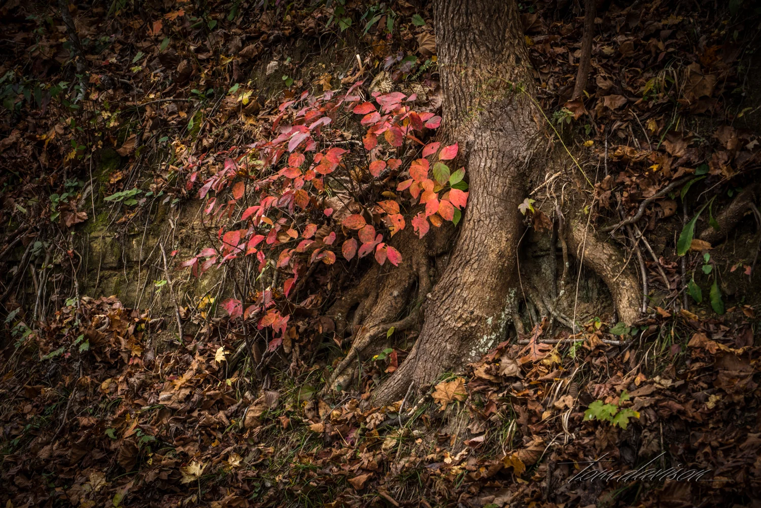
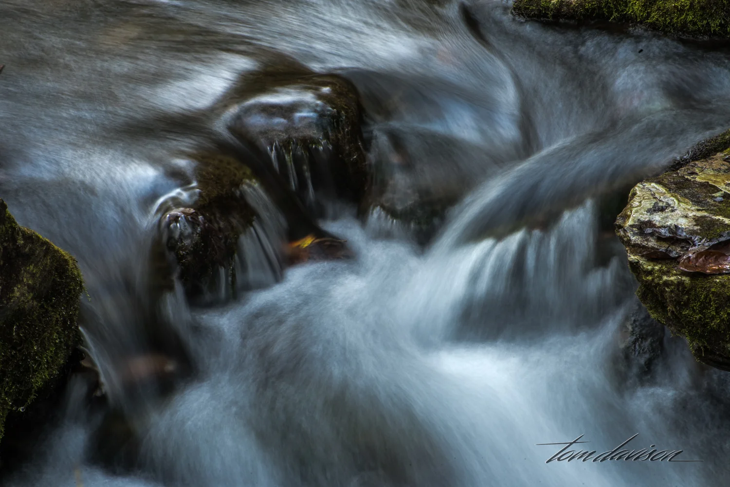
Perhaps my curtain is smooth!


Finally, when we were totally satisfied we could not find another photograph, we headed back to our car. Great day!