San Rafael Valley

Tucked between the Patagonia Mountains on the west, the Canelo Hills on the north and northeast and the Huachucka Mountains on the east sits a lovely high grassland referred to as the San Rafael Valley.  We explored a small part of that valley and will return to explore more.  It is just that good!

Trees dot the landscape of tall grass, dirt roads, and a rather constant background of mountains.

To explore the San Rafael Valley we drove a loop, of sorts, from Huachuca City to Sonoita, south on #83 to almost Canelo.  We took the road over Canelo Pass, FR 58, all the way into Patagonia and then back north to Sonoita. 

Taken just as we crested Canelo Pass, on the south side.  We were looking west at the Patagonia Mountains.

Parts of the dirt road were pretty good.  Other parts, well they were great liver massagers!

Santa Cruz River bed.  Pretty dry!!

This is still cow country.

Just south of where we drove, there is the San Rafael State Natural Area.  It is NOT open to the public but you can drive through on Forest Service Road #61.  When we return to this area, we want to go further south towards Lochiel and take the Forest Service Road.
Gleeson to Bisbee

We love it when we run into a local amateur photographer who is excited to share their favorite place to photograph.  Such as it was when we had lunch in Patagonia.  "Have you checked out Gleeson?"  Well, no, never heard of it.  "It is my favorite place, especially the old jail."  We were on the case, joined by Ann and Greg.  Gleeson?  It is in southern Arizona and it is on the map!

From the hill above the jail.

Across the highway from the old jail was another old structure we checked out.

This is an example of walking around to check out photographic opportunities and composition.  From afar, this old building was just that.  But on more careful examination it showed quite a bit of its true nature.  Made of adobe, topped off with a more modern brick chimney and then . . . what is with those old tin cans?

Hmmmm. . .  so that is where the roof is!

Peering through dirty glass . . .

We were told that this was once a saloon.  I suspect this painting was behind the bar.  The tree in the painting sure has grown up.

A local, waiting for the mailman, told us that before the jail was built, or if it was too full, prisoners were tied to this old tree.

The mailman told us that this was called Tiffany Mountain.  All of the turquoise has been extracted and the mine is no longer active.

People from miles around come here for their mail. It is, in a way, a community center.  The mailman suggested we check out Ghost Town Trail, a dirt road just several miles more down the highway.  "Has some old buildings you may find interesting."

Another old jail, we think.  This one is along the Ghost Town Trail.

This old jail does not appear to be on private property and is not maintained.

Another ruin along the Ghost Town Trail was at one time the general store for a small nearby mining community.

We completed the Ghost Town Trail. Drove through Elfrida and then on to Bisbee to have lunch at the Bisbee Breakfast Club.  Food and service worth going back for.

After lunch we all split up to explore Bisbee for just one hour.

Ann wanted to check out the steps that this hilly mining town is known for.

Love that high heel shoe

Bisbee is a great place to photograph.  I hope we can return after Christmas when we return and camp in Benson.

Ramsey Canyon

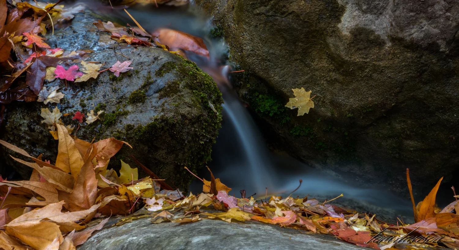
Ramsey Canyon is referred to as the 'hummingbird capital of the world'.  Its tall canyon walls and presence of Ramsey Creek keep it cooler than the surrounding desert and an ideal place for wildlife, especially birds. There are 15 different varieties of hummingbirds that can be found here.   Ramsey Canyon is part of The Nature Conservancy’s international conservation program cooperates with several agencies to both preserve and better understand fire management, stream restoration, and protection of rare species.  When we arrived, just as the Information Center opened, it was very cold!  We were hoping for some fall color and were surprised at just how brilliant some of the trees were.  It was probably just past 'peak' but we took it all in!  For the birders in our group, we were told that two Trogon males had been spotted in the area.  We, of course did not see them.

You walk under this branch to start walking up the trail.

Resting areas with benches and chairs (even some rocking) makes it easy to simply sit and enjoy the beauty around you.

I believe this is a Coues deer.  We spotted several of them at different times as they came down to the creek to get water.

For Rick.

Interesting root!

Taken with iPhone 7+

How does Greg find images like this?  I expect these creatures to move at any moment!

Remnants of an old house.  Greg and Ann hiked much further up the trail than Tom and I.  They reported that beyond the first loop the fall color dropped off dramatically.

This is Greg's image.

Taken with iPhone 7+

Taken with iPhone 7+

Haha!  My neck curved like this tree trunk as I tried to turn it right side down . . . or up!

It was warmer as we walked back out of the Information Center.

We had our picnic lunch at this creek side table.