Last Leg - Morenci Mine

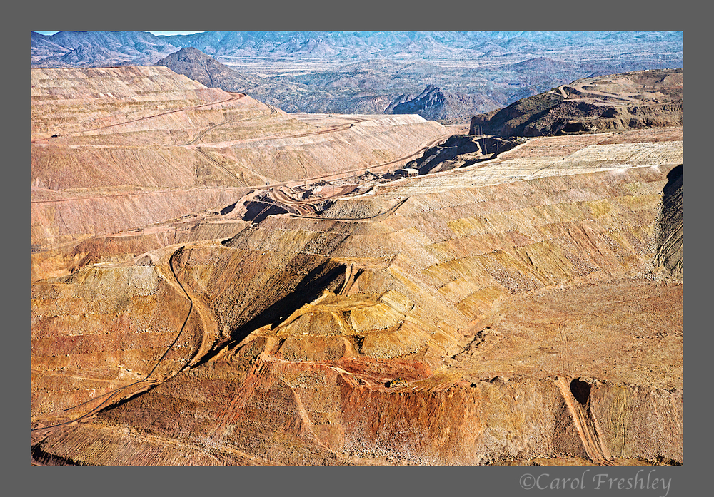
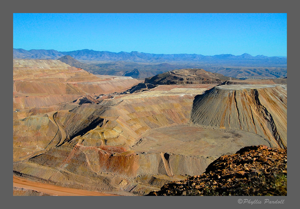
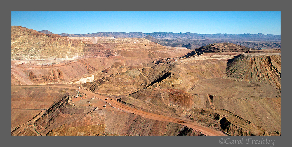
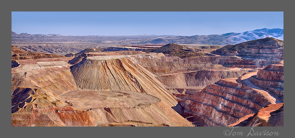
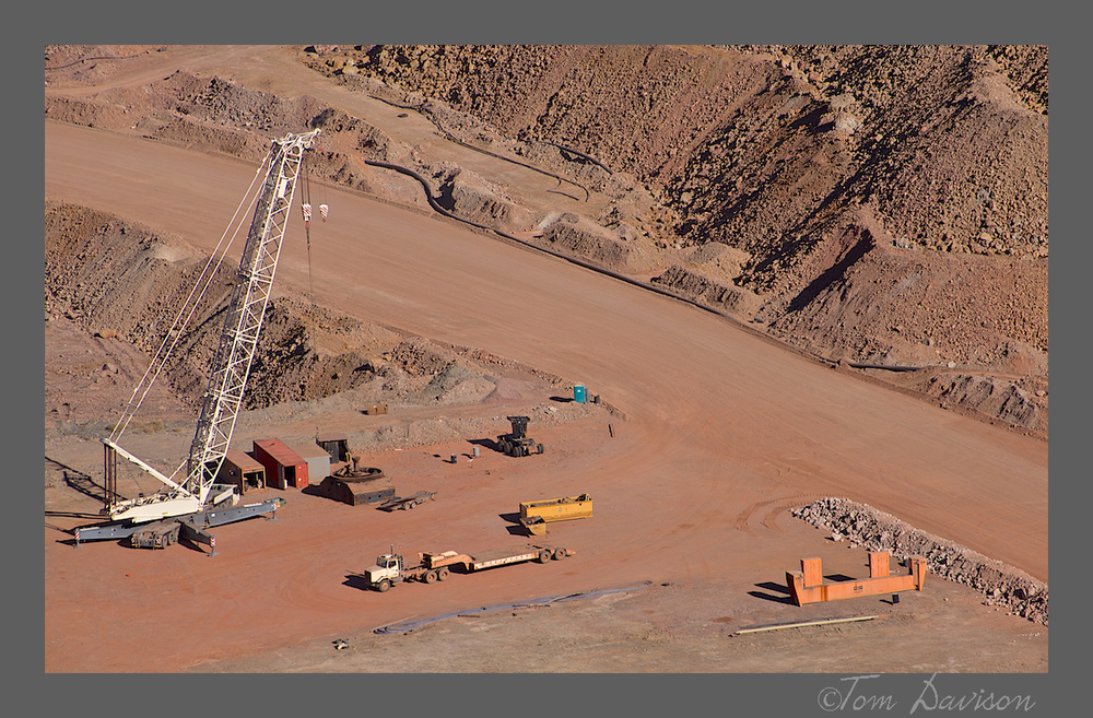
As I write this post I keep hearing Jon's voice, "This is INCREDIBLE!!!"  There is just no way to show the full size, scope and environmental impact of this mine. Maybe an aerial photograph would be a start.  Nope, it would take more than that.

The image below is a panorama stitched from three separate images using PhotoShop. All images were shot with a 70-300mm long lens at 70mm.
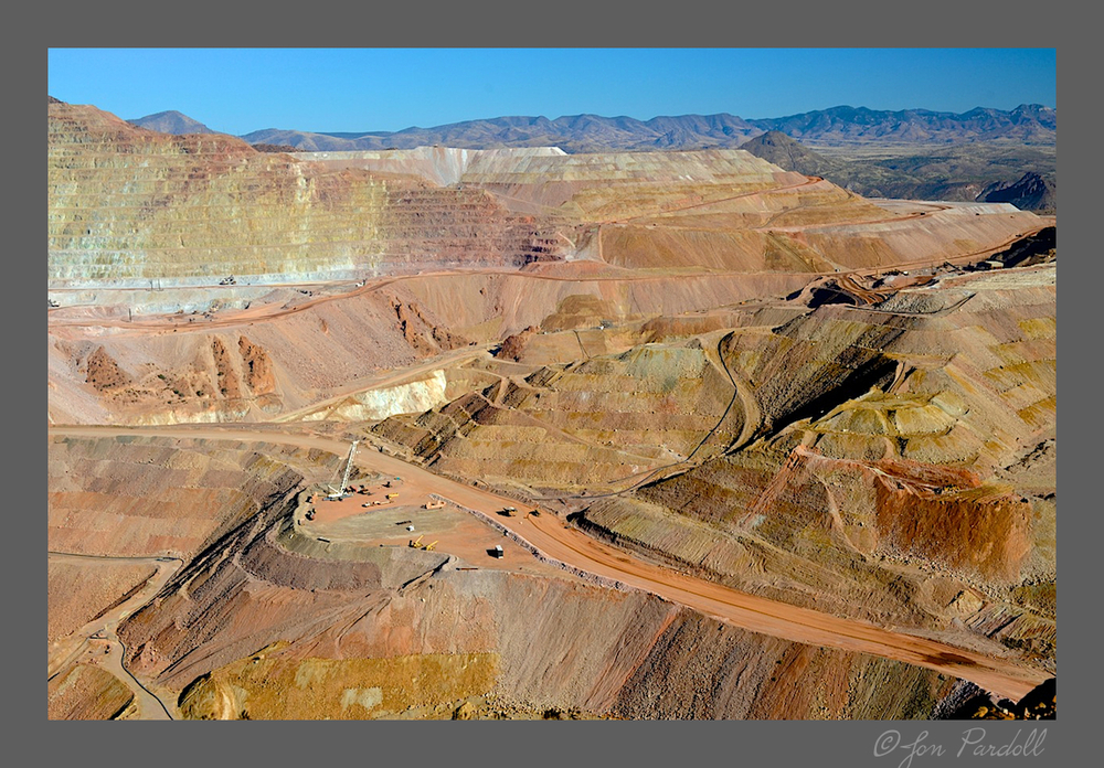


This is another one of those photographs that looks like a watercolor painting to me. With a point and shoot!
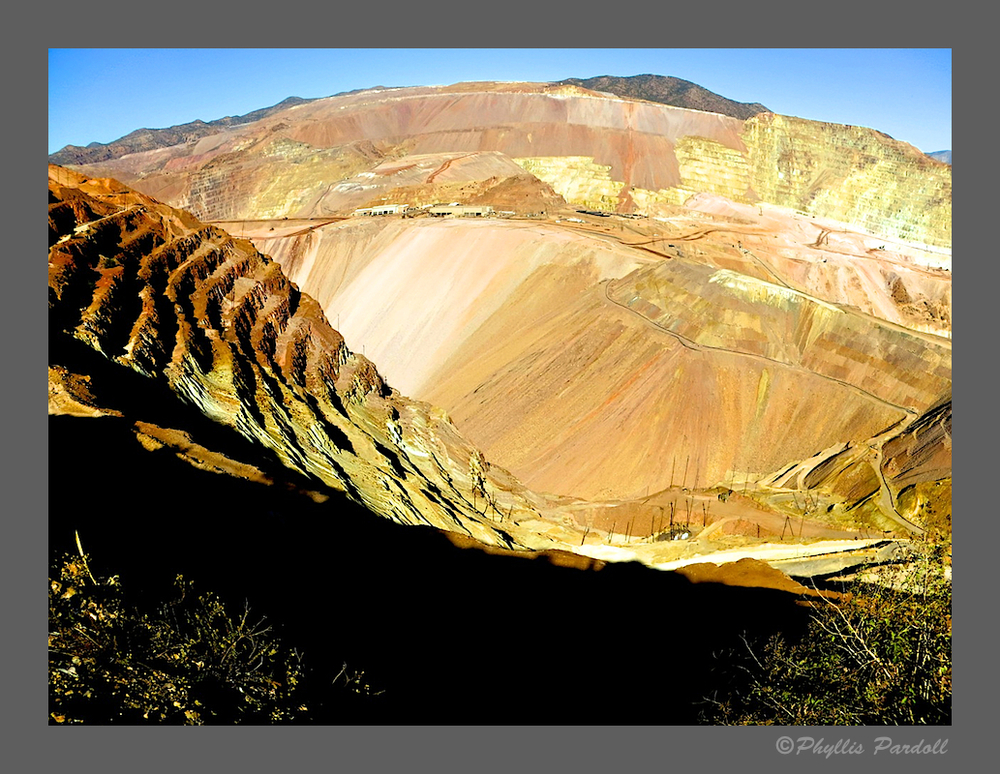
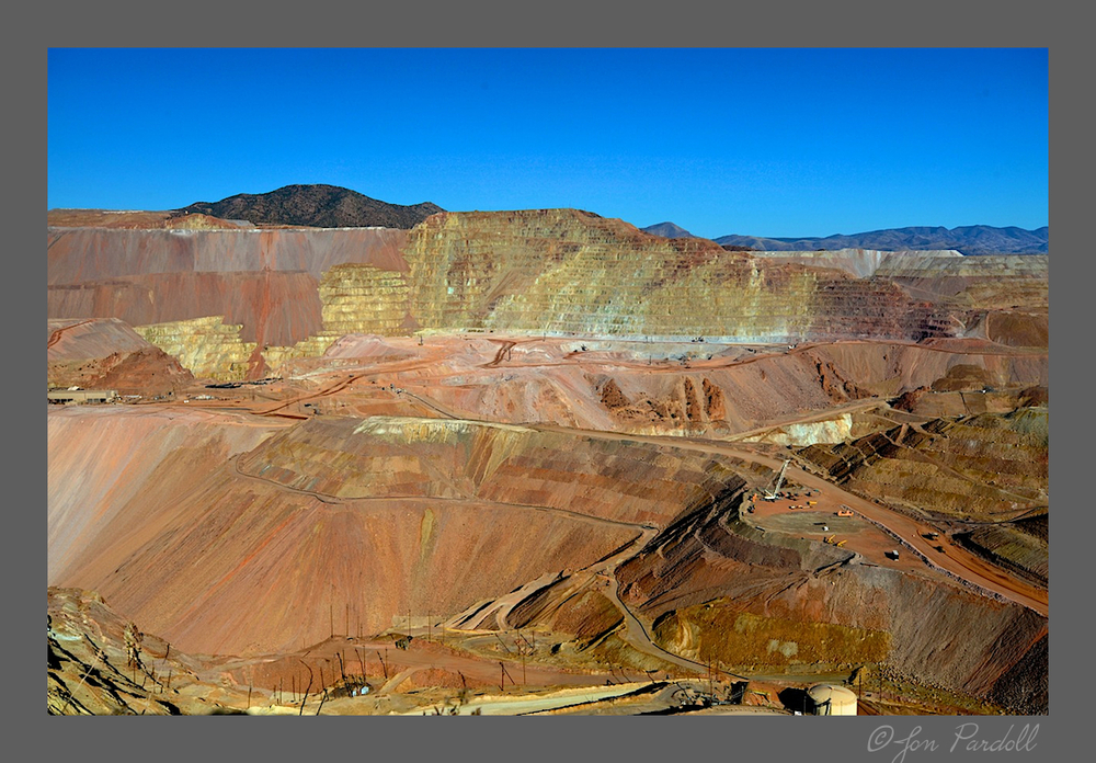
 

Now that I look at it again . . . could be another watercolor!
 

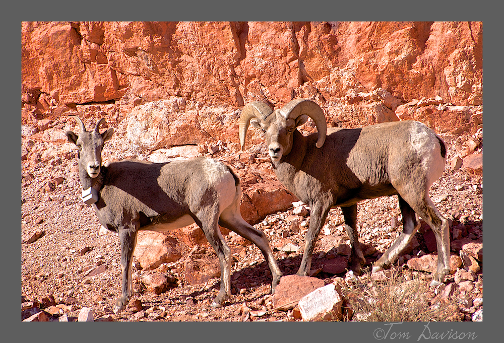
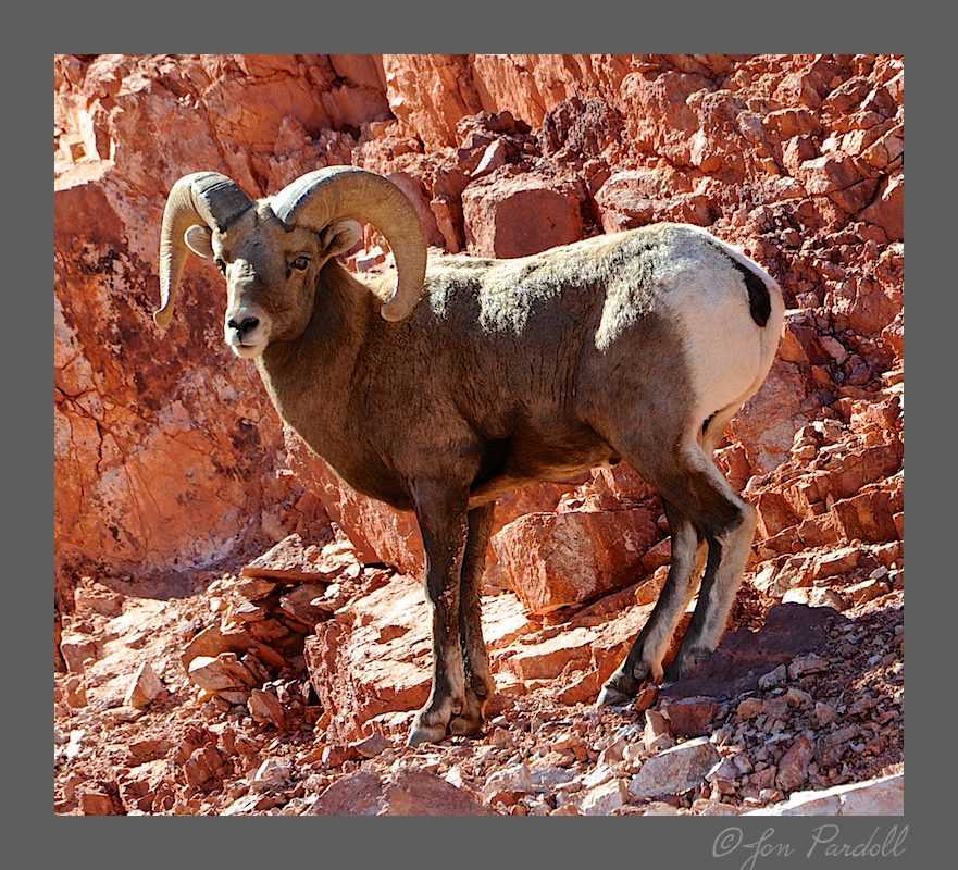
Then, just when we thought we were all shot out, hungry and ready to just zone out on our way to lunch . . . we round the corner and spot these magnificent animals right along the road. You would have laughed watching us jump out of the car all re-energized to shoot. Lunch? Who needs it?

It was only later that we saw the warning/caution sign for bighorn sheep.
 

We want to go back down the Trail next spring.  Save your pennies and lets all go in a grand caravan style outing.  We left many photos for a future trip.

Third Leg - Coronado Trail

We were ready!!  This trail was been described in an AZ Central article as:

"Anyone in a hurry should give the twisted stretch of highway a pass. This is a meandering, moseying, slow-motion drive. The 123 miles of pavement between Springerville and Clifton feature 460 curves skirting the eastern edge of the Apache-Sitgreaves National Forests. Thrilling, scary and dramatic, but speedy it’s not."

Yep, pretty accurate description, in my opinion. Oh! But ever so much more fun than you can imagine from reading the paragraph above. It was difficult to keep my eyes on the curves, ever mindful of the next possible pullout, scenic view or some car over the center line gawking at the same thing I was trying to not look at.

We also saw some fall color on the lower parts of the trail. However, be prepared that in the area above and around Hannagan Meadow there is a great deal of devastation from forest fires.  Enjoy the photos.

These were taken from one of the scenic view pullouts.  Up at the top of this mountain you had an almost 270 degree view of the world below.  I really felt like I was on top of the world!!  I was.


This is the fall version of colorful spring flowers that must dot this forest floor in Hannagan Meadow.

I want to go back down (or up) the Coronado Trail again in the spring.  It will be magnificent.

At the end of the trail we stopped at the Morenci Mine.  Now, that was an eye popper!! That is coming up in the next post.

Second Leg - Salt River Canyon

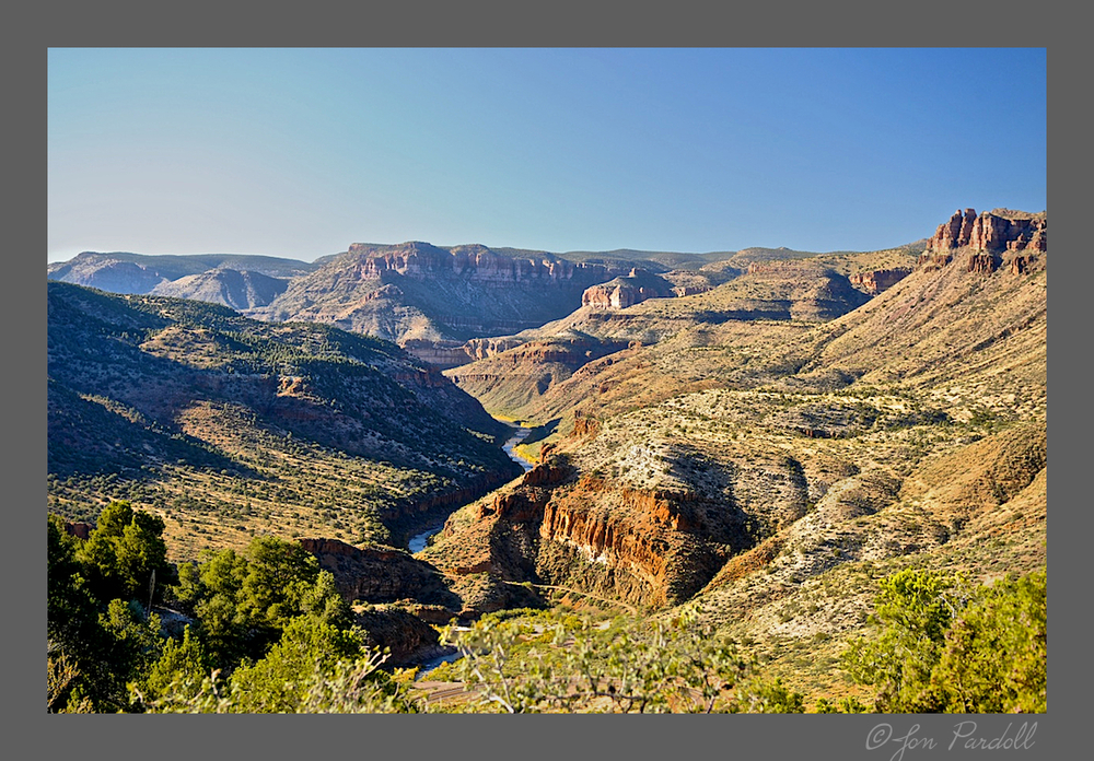
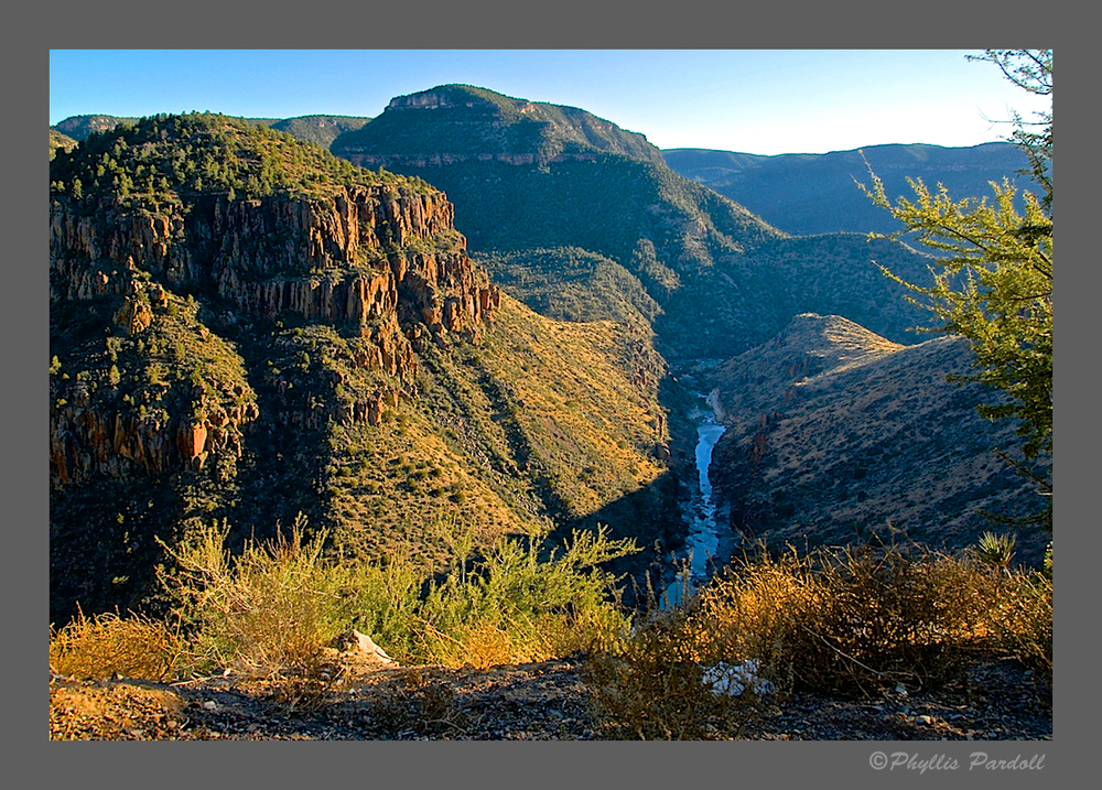
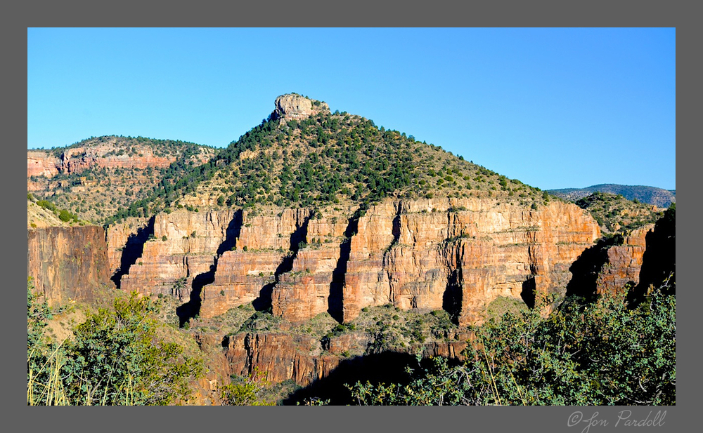
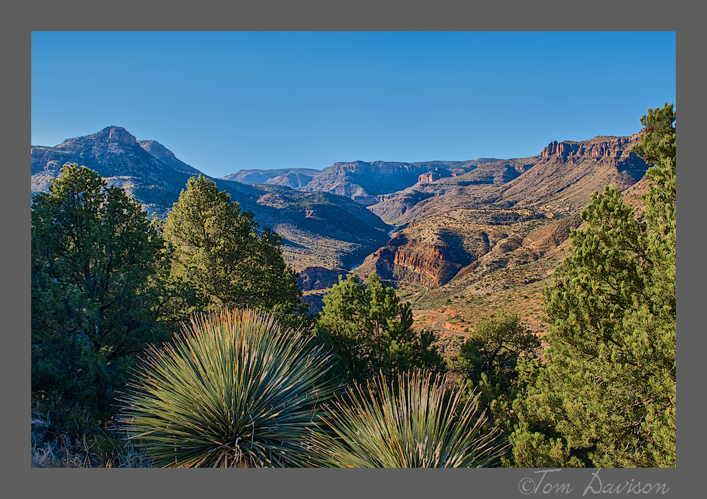
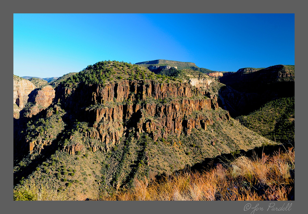
We left Ray Mine behind and started up the slow and curving road of the Salt River Canyon towards Springerville.  If you have never driven this stretch of beauty . . . well, it is time to check it out.


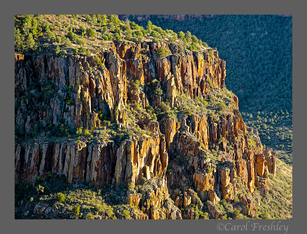
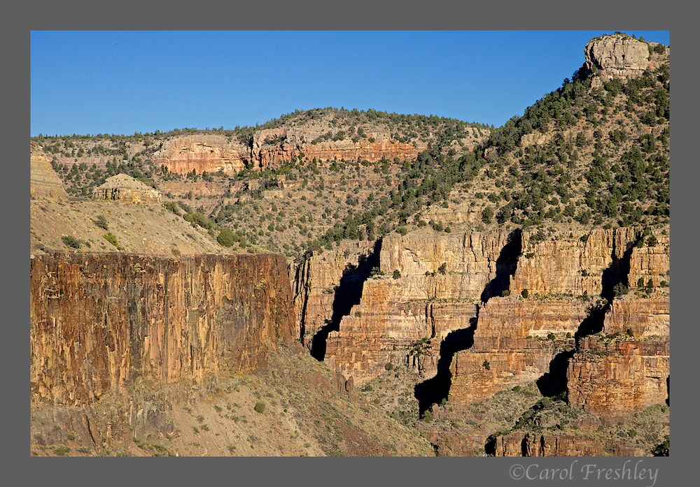
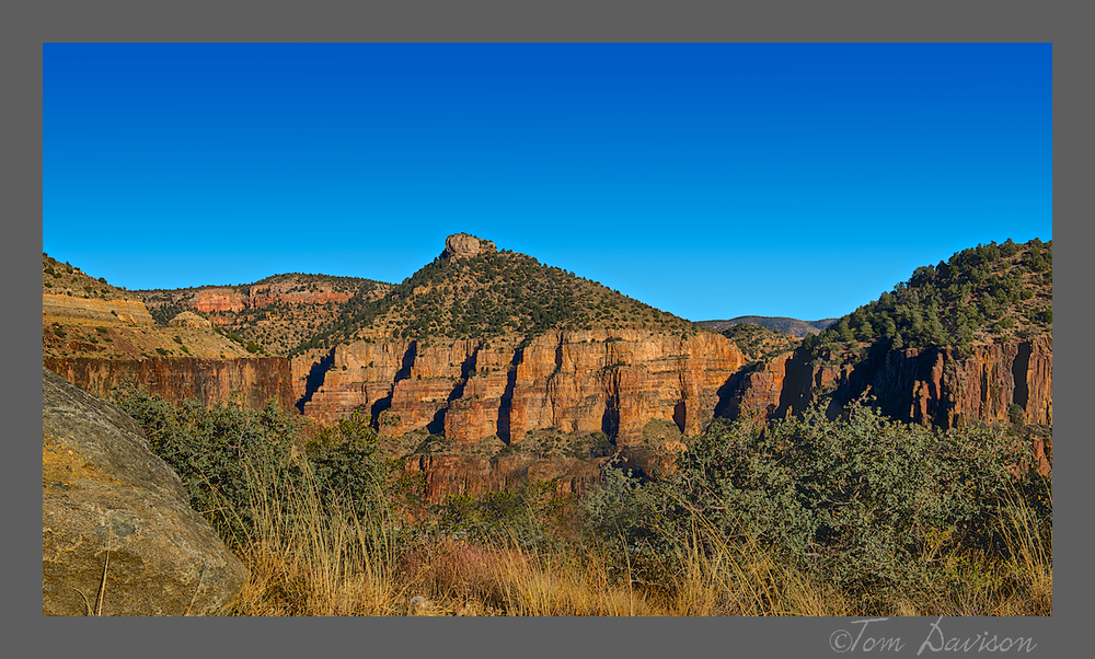
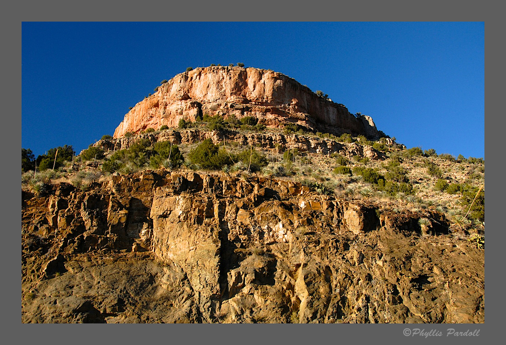
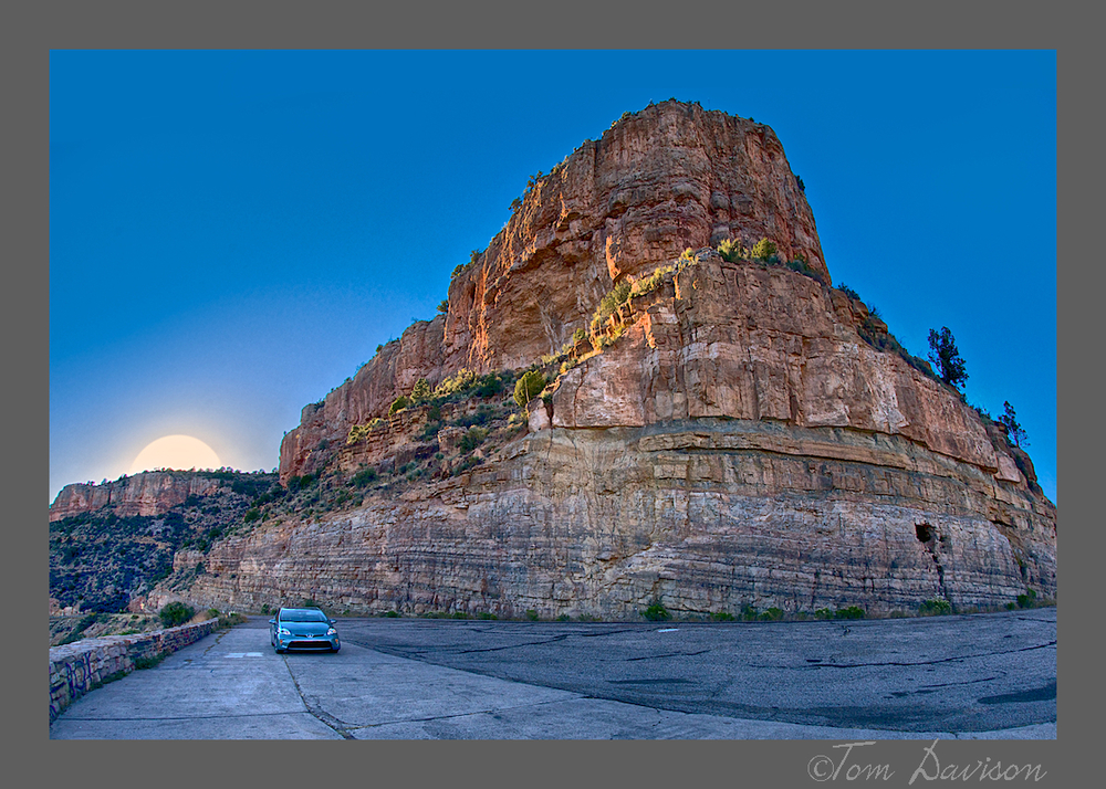
Below is an example of how multiple photographers at the same location can spread out and come up with different views of the same view! Moving just 10 feet can change the composition, even the focus or interest point.


I asked Tom, "What is that white thing?"  He told me that is how the fisheye lens interprets a sun setting over the mountain. OK. . . That lens may explain my car's sudden squashed look!!! I do like the late afternoon gold on the mountain. Not so sure about the car, however. Tom does not hesitate in taking artistic license.

The light was slipping into nautical hour before we reached the outskirts of Springerville.  There we encountered hundreds of tricker treaters and small goblins! We looked forward to a good night of sleep knowing that the Coronado Trail was waiting for us. That is our next post.