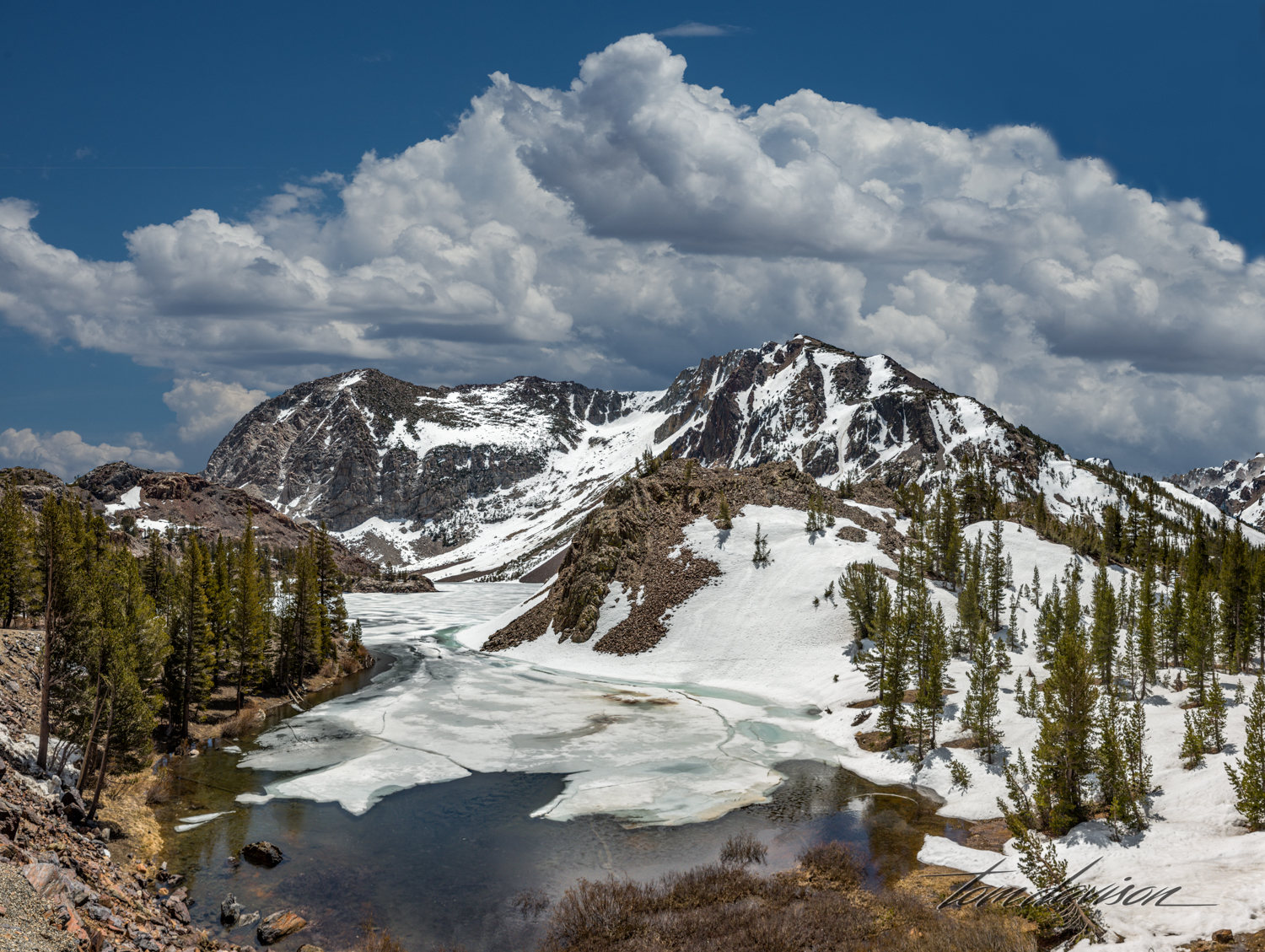
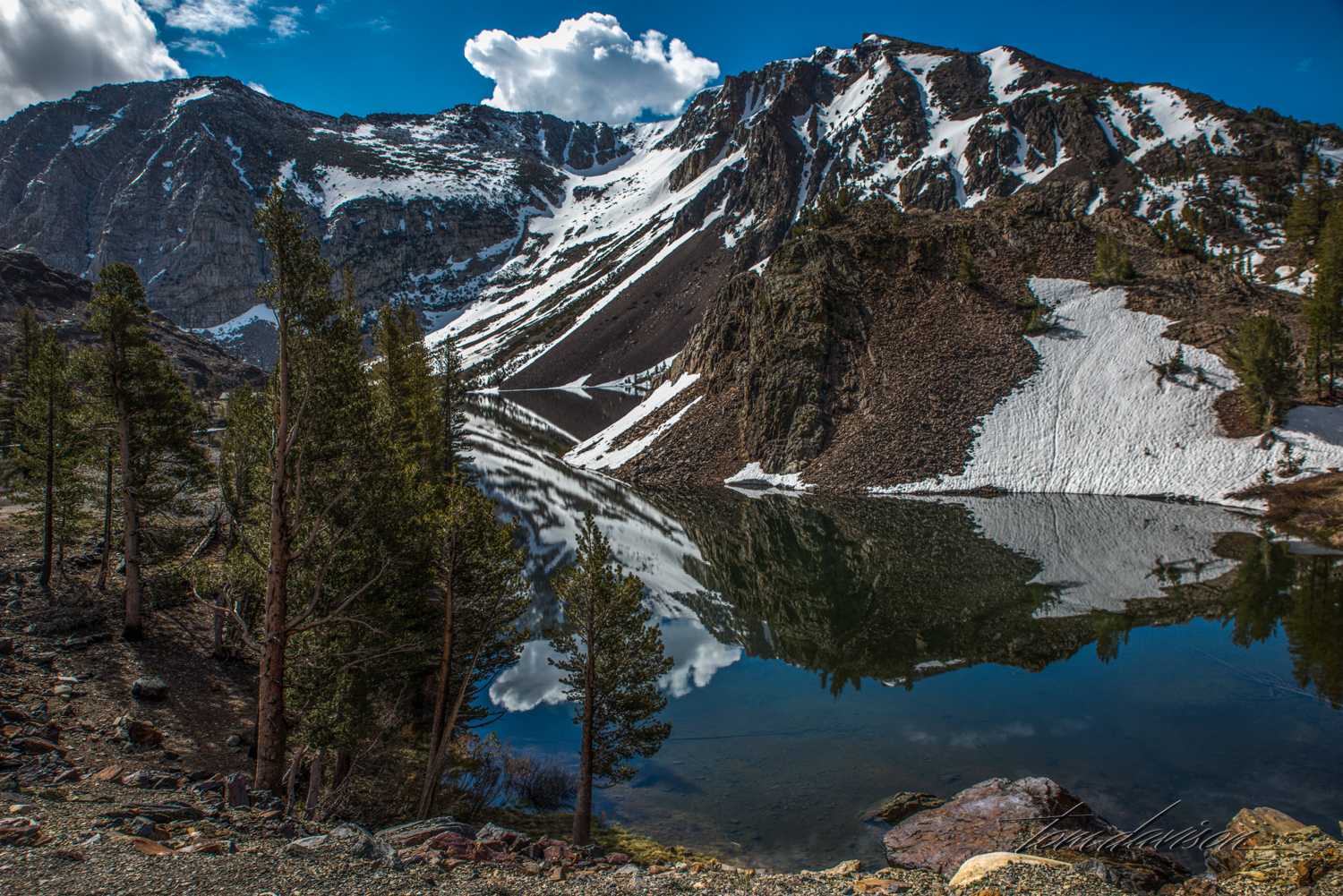
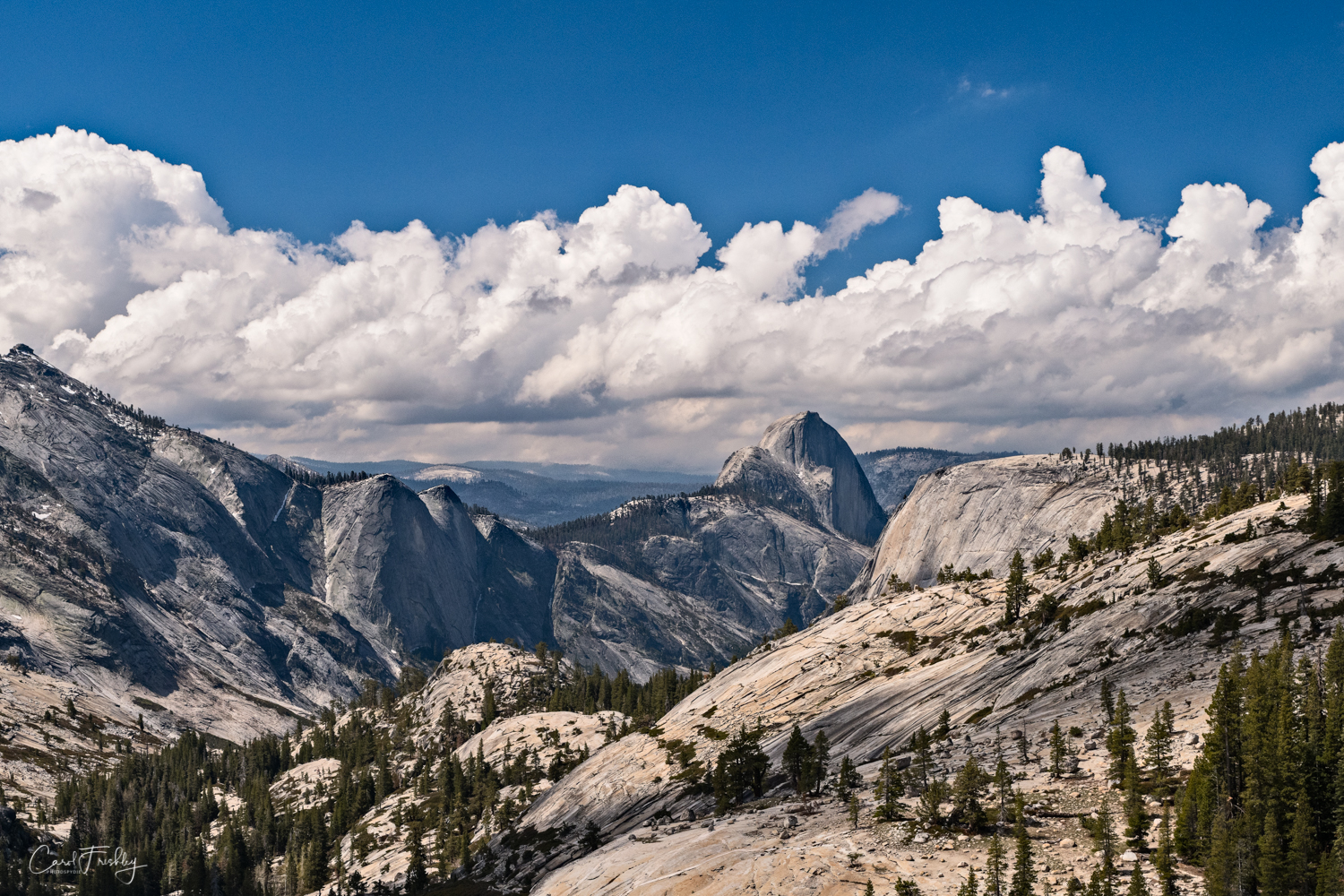
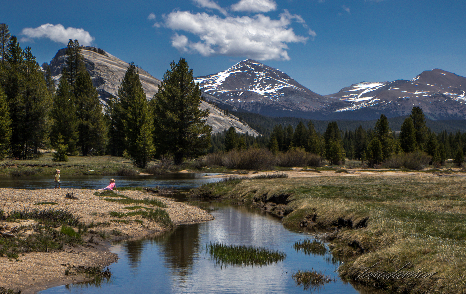
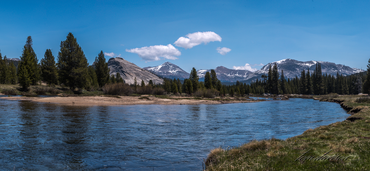
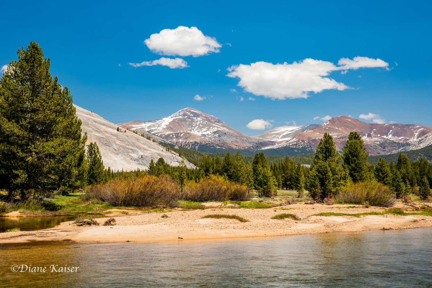
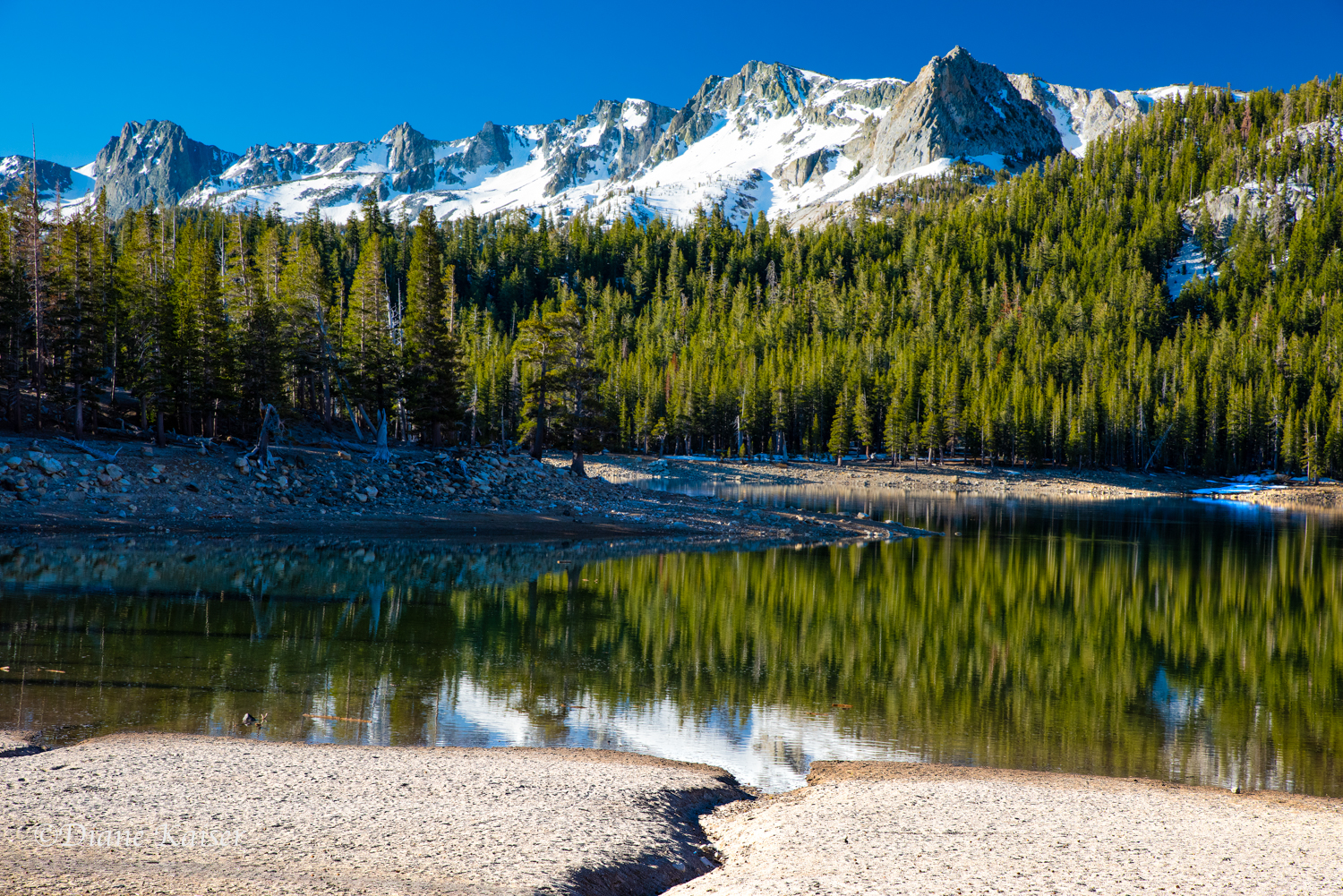
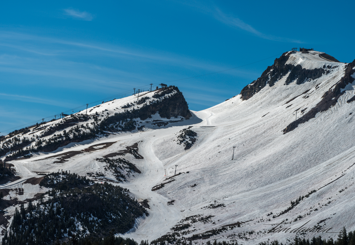
Mammoth Lakes is actually the name of the town or village that sits at the bottom, or in the valley, below some awesome mountains. It is a popular year round recreational resort with excellent skiing in the winter and tons of trails to hike, lakes to fish and pull-outs for photographers to gaze in awe. Each of the lakes is quite different and we each had our favorites.


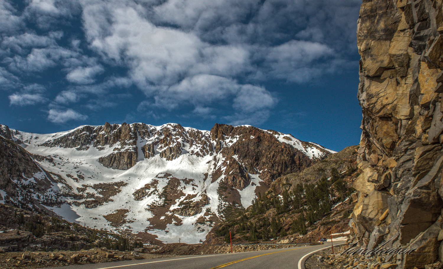
We drove to a lookout point where the Minarets could be seen across the valley. They are an impressive sight and often visible from Highway 395 as we drive bak and forth between photo-opportunities.


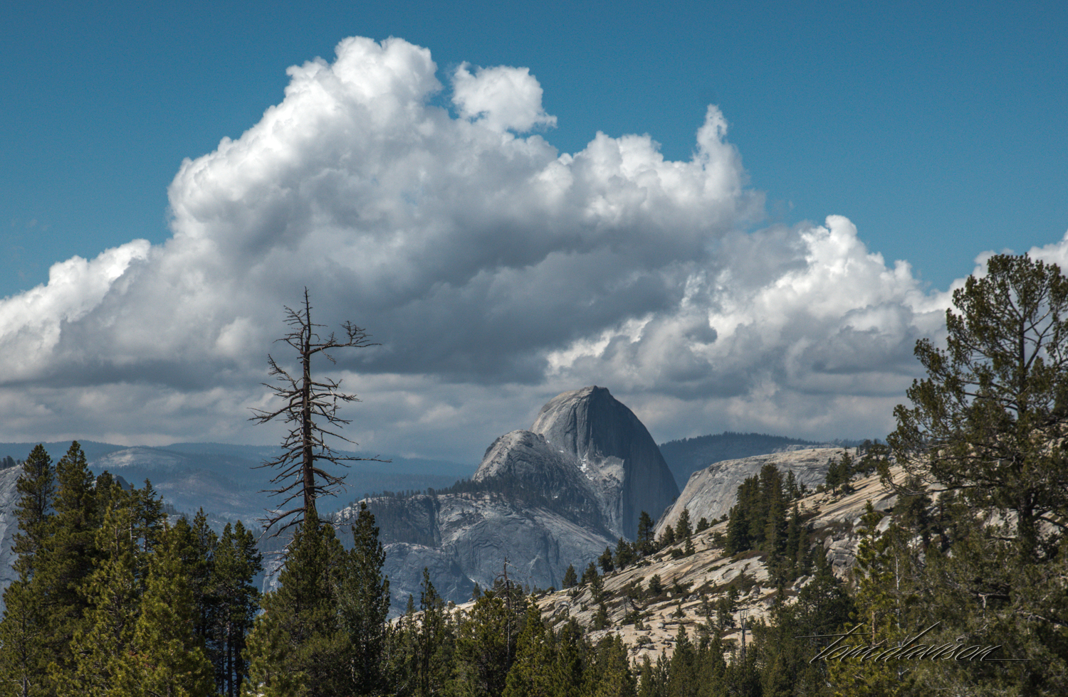
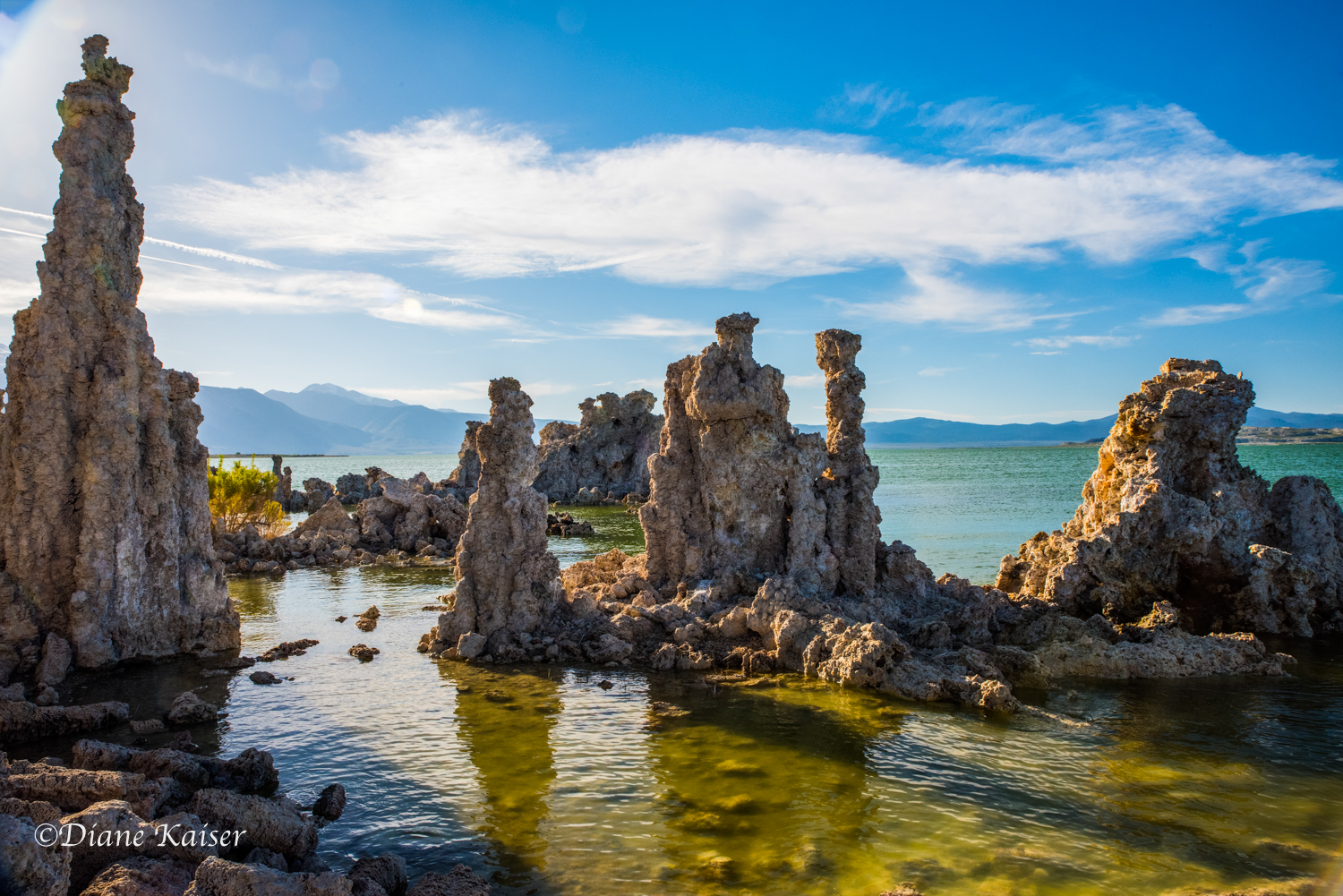
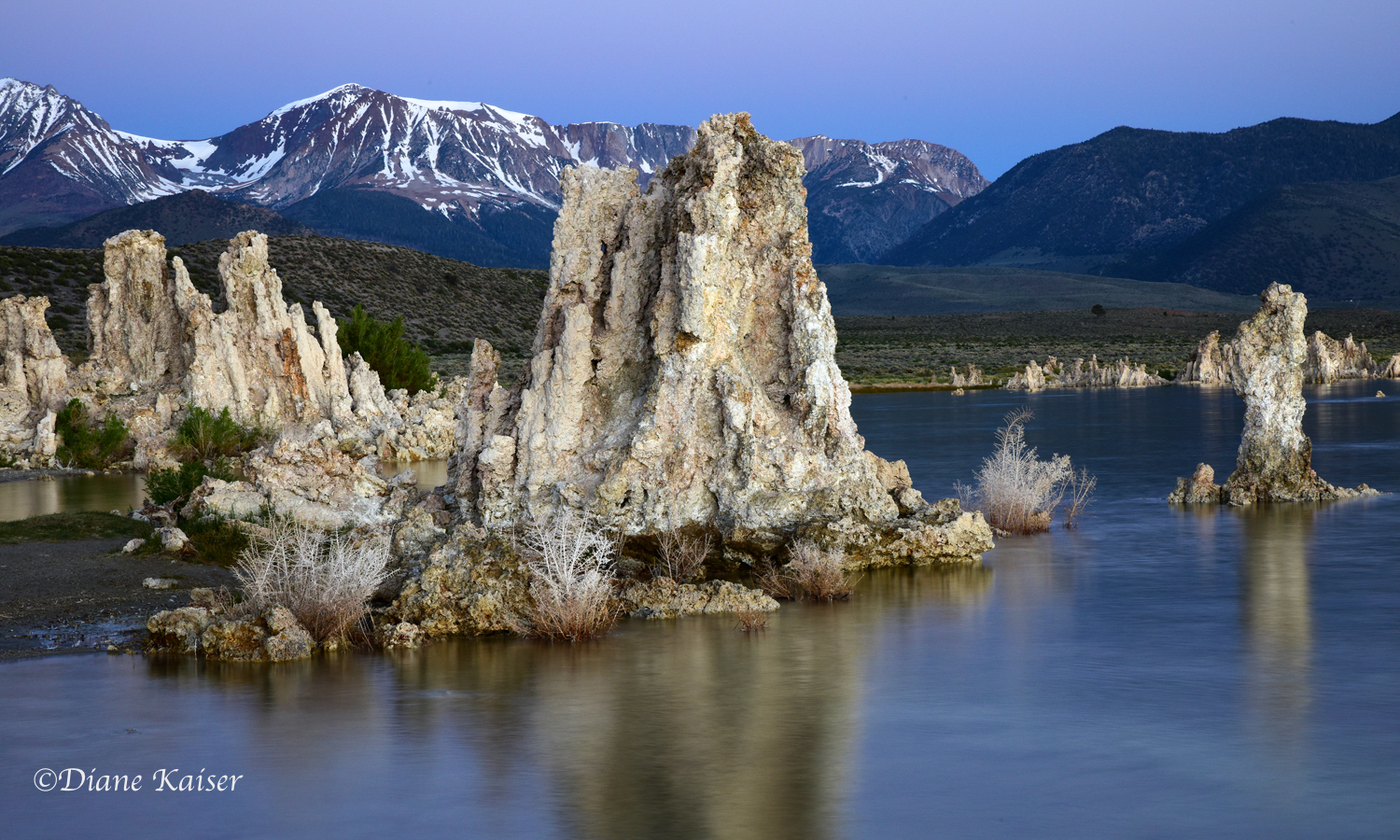
Nope. You are correct! This is not from Mammoth Lakes. Diane took this at a different date than the ones I posted of Convict Lake earlier. But, I do not want you to miss out on her excellent photography! She was using a new to her Nikon D810 with a new lens and she was quite the trooper figuring it all out and then captured the full magnificence of sunrise on this popular mountain. I just love her reflection.